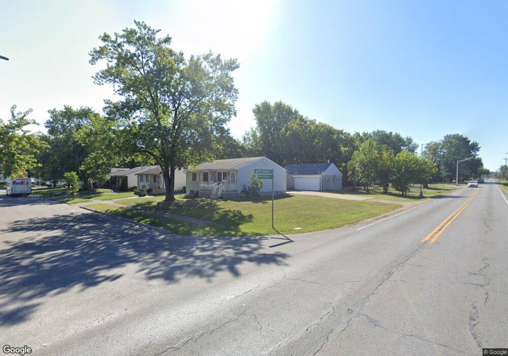
2085 Sprucefield Dr Columbus, OH 43229
Northern Woods NeighborhoodEstimated Value: $155,000 - $180,660
3
Beds
2
Baths
1,320
Sq Ft
$127/Sq Ft
Est. Value
About This Home
This home is located at 2085 Sprucefield Dr, Columbus, OH 43229 and is currently estimated at $168,165, approximately $127 per square foot. 2085 Sprucefield Dr is a home located in Franklin County with nearby schools including Northgate Intermediate, Alpine Elementary School, and Woodward Park Middle School.
Ownership History
Date
Name
Owned For
Owner Type
Purchase Details
Closed on
Jul 31, 2023
Sold by
Jackson Timothy L
Bought by
Timothy And Cheryl Jackson Trust and Jackson
Current Estimated Value
Purchase Details
Closed on
Jul 18, 2023
Sold by
Jackson Timothy L
Bought by
Timothy And Cheryl Jackson Trust and Jackson
Purchase Details
Closed on
Jun 9, 1999
Sold by
Wilson Constance T and The Constance T Wilson Trust
Bought by
Jackson Timothy
Home Financials for this Owner
Home Financials are based on the most recent Mortgage that was taken out on this home.
Original Mortgage
$74,690
Interest Rate
6.99%
Mortgage Type
FHA
Purchase Details
Closed on
Jul 24, 1997
Sold by
Wilson Constance T
Bought by
Wilson Constance T and The Constance T Wilson Trust
Purchase Details
Closed on
May 1, 1984
Create a Home Valuation Report for This Property
The Home Valuation Report is an in-depth analysis detailing your home's value as well as a comparison with similar homes in the area
Home Values in the Area
Average Home Value in this Area
Purchase History
| Date | Buyer | Sale Price | Title Company |
|---|---|---|---|
| Timothy And Cheryl Jackson Trust | -- | None Listed On Document | |
| Timothy And Cheryl Jackson Trust | -- | None Listed On Document | |
| Timothy And Cheryl Jackson Trust | -- | None Listed On Document | |
| Timothy And Cheryl Jackson Trust | -- | None Listed On Document | |
| Jackson Timothy | $77,000 | Chicago Title West | |
| Jackson Timothy | $77,000 | Chicago Title West | |
| Wilson Constance T | -- | -- | |
| Wilson Constance T | -- | -- | |
| -- | $52,300 | -- | |
| -- | $52,300 | -- |
Source: Public Records
Mortgage History
| Date | Status | Borrower | Loan Amount |
|---|---|---|---|
| Previous Owner | Jackson Timothy | $74,690 |
Source: Public Records
Tax History
| Year | Tax Paid | Tax Assessment Tax Assessment Total Assessment is a certain percentage of the fair market value that is determined by local assessors to be the total taxable value of land and additions on the property. | Land | Improvement |
|---|---|---|---|---|
| 2025 | $2,430 | $53,030 | $9,280 | $43,750 |
| 2024 | $2,430 | $53,030 | $9,280 | $43,750 |
| 2023 | $2,400 | $53,030 | $9,280 | $43,750 |
| 2022 | $1,726 | $21,460 | $2,630 | $18,830 |
| 2021 | $1,115 | $21,460 | $2,630 | $18,830 |
| 2020 | $1,116 | $21,460 | $2,630 | $18,830 |
| 2019 | $1,302 | $21,460 | $2,630 | $18,830 |
| 2018 | $1,263 | $21,460 | $2,630 | $18,830 |
| 2017 | $1,301 | $21,460 | $2,630 | $18,830 |
| 2016 | $1,352 | $20,410 | $2,240 | $18,170 |
| 2015 | $1,227 | $20,410 | $2,240 | $18,170 |
| 2014 | $1,230 | $20,410 | $2,240 | $18,170 |
| 2013 | $675 | $22,680 | $2,485 | $20,195 |
Source: Public Records
Map
Nearby Homes
- 2197 Bayfield Dr
- 6048 Pinemoor St
- 2292 Laurelwood Dr Unit 2292L
- 6245 Sharon Woods Blvd
- 5885 Beechcroft Rd Unit 116
- 5885 Beechcroft Rd Unit 313
- 2154-2156 Jewett Dr
- 2470 Carolina Ave Unit 66
- 1281 Home Acre Dr
- 6142 Laurelwood Ct Unit 144
- 5732 Beechcroft Rd Unit B
- 5726 Beechcroft Rd Unit J
- 2623 Blendon Woods Blvd
- 5570 Maple Canyon Ave
- 1679 Peardale Rd N
- 5556 Parkshire Dr Unit 5556
- 1947 Rockdale Dr Unit 33
- 5762 Pine Tree St W Unit D
- 5491 Parkshire Dr Unit 5491
- 6035 Karl Rd
- 2092 Sprucefield Dr
- 2120 Sprucefield Dr
- 2121 Sprucefield Dr
- 2119 Sprucefield Rd
- 2121 Sprucefield Rd
- 2130 Sprucefield Dr
- 2129 Sprucefield Dr
- 2138 Sprucefield Dr
- 2137 Sprucefield Dr
- 2113 Sprucefield Rd
- 2115 Sprucefield Rd
- 2109 Sprucefield Rd
- 2115 Sprucefield Dr
- 2111 Sprucefield Rd
- 2118 Sprucefield Rd
- 2144 Sprucefield Dr
- 2143 Sprucefield Dr
- 2127 Laurelwood Dr
- 2128 Hampstead Dr
- 2108 Sprucefield Rd Unit 2108
Your Personal Tour Guide
Ask me questions while you tour the home.