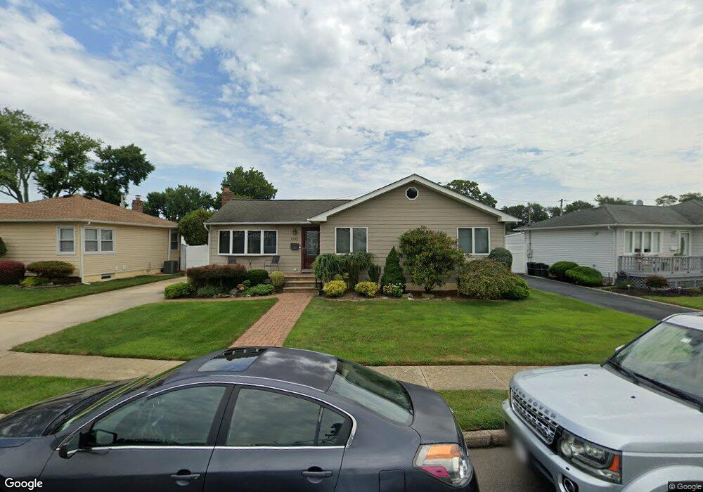
2085 Stirrup Path Seaford, NY 11783
Estimated Value: $597,337 - $713,000
Studio
1
Bath
1,036
Sq Ft
$632/Sq Ft
Est. Value
About This Home
This home is located at 2085 Stirrup Path, Seaford, NY 11783 and is currently estimated at $655,169, approximately $632 per square foot. 2085 Stirrup Path is a home located in Nassau County with nearby schools including Seaford Middle School, Seaford Senior High School, and St. William the Abbot School.
Ownership History
Date
Name
Owned For
Owner Type
Purchase Details
Closed on
Aug 9, 2004
Sold by
Alonge Vincent
Bought by
Diblasi Paul
Current Estimated Value
Purchase Details
Closed on
Oct 9, 2002
Sold by
Alonge Vincent
Create a Home Valuation Report for This Property
The Home Valuation Report is an in-depth analysis detailing your home's value as well as a comparison with similar homes in the area
Home Values in the Area
Average Home Value in this Area
Purchase History
| Date | Buyer | Sale Price | Title Company |
|---|---|---|---|
| Diblasi Paul | $397,500 | -- | |
| -- | $120,000 | -- |
Source: Public Records
Tax History
| Year | Tax Paid | Tax Assessment Tax Assessment Total Assessment is a certain percentage of the fair market value that is determined by local assessors to be the total taxable value of land and additions on the property. | Land | Improvement |
|---|---|---|---|---|
| 2025 | $11,417 | $424 | $207 | $217 |
| 2024 | $2,952 | $400 | $195 | $205 |
Source: Public Records
Map
Nearby Homes
- 28 Spring Dr
- 3610 Locust Ave
- 3532 Waverly Ave
- 3589 Naomi Place
- 3861 Wilburne Ave
- 2327 Mattituck Ave
- 1769 Jane St
- 2089 Beech St
- 3860 Hudson Ave
- 2393 Maple Ave
- 2359 Spruce St
- 3887 Hudson Ave
- 2349 S Seamans Neck Rd
- 2125 North Dr
- 1967 Washington Ave
- 3268 Jackson Ave
- 3663 Roanoke St
- 3806 Tiana St
- 2202 Beech St
- 3495 Roanoke St
- 2079 Stirrup Path
- 2091 Stirrup Path
- 2070 Guildford Park Dr
- 2099 Stirrup Path
- 2073 Stirrup Path
- 2074 Guildford Park Dr
- 2066 Guildford Park Dr
- 2084 Stirrup Path
- 20 Stirrup Path
- 2078 Stirrup Path
- 2090 Stirrup Path
- 2067 Stirrup Path
- 2062 Guildford Park Dr
- 3770 Locust Ave
- 2072 Stirrup Path
- 2111 Stirrup Path
- 2094 Stirrup Path
- 3760 Locust Ave
- 2100 Stirrup Path
- 2063 Guildford Park Dr
Your Personal Tour Guide
Ask me questions while you tour the home.