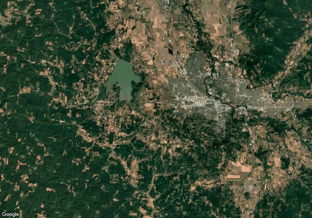
2085 W Address Unknown Ave Eugene, OR 97402
Far West NeighborhoodEstimated Value: $352,473 - $567,000
4
Beds
4
Baths
1,806
Sq Ft
$267/Sq Ft
Est. Value
About This Home
This home is located at 2085 W Address Unknown Ave, Eugene, OR 97402 and is currently estimated at $481,618, approximately $266 per square foot. 2085 W Address Unknown Ave is a home with nearby schools including Cesar Chavez Elementary School, Arts And Technology Academy At Jefferson, and Churchill High School.
Ownership History
Date
Name
Owned For
Owner Type
Purchase Details
Closed on
Mar 3, 2023
Sold by
Holmberg Brian C and Holmberg Christine A
Bought by
Liberty Revocable Living Trust
Current Estimated Value
Purchase Details
Closed on
Nov 18, 2013
Sold by
Stolen Land Iii Llc
Bought by
Holmberg Brian C and Holmberg Christine A
Home Financials for this Owner
Home Financials are based on the most recent Mortgage that was taken out on this home.
Original Mortgage
$179,925
Interest Rate
4.18%
Mortgage Type
New Conventional
Purchase Details
Closed on
Nov 18, 2011
Sold by
Haggard Pamela M
Bought by
Stolen Land Iii Llc
Purchase Details
Closed on
Nov 16, 2011
Sold by
Koester David P
Bought by
Haggard Pamela M
Purchase Details
Closed on
Aug 10, 2010
Sold by
Westmoreland Village Llc
Bought by
Koester David P
Home Financials for this Owner
Home Financials are based on the most recent Mortgage that was taken out on this home.
Original Mortgage
$149,100
Interest Rate
4.52%
Mortgage Type
New Conventional
Create a Home Valuation Report for This Property
The Home Valuation Report is an in-depth analysis detailing your home's value as well as a comparison with similar homes in the area
Home Values in the Area
Average Home Value in this Area
Purchase History
| Date | Buyer | Sale Price | Title Company |
|---|---|---|---|
| Liberty Revocable Living Trust | -- | None Listed On Document | |
| Holmberg Brian C | $239,900 | Cascade Title Company | |
| Stolen Land Iii Llc | -- | Accommodation | |
| Haggard Pamela M | -- | Accommodation | |
| Koester David P | $219,900 | Cascade Title Co |
Source: Public Records
Mortgage History
| Date | Status | Borrower | Loan Amount |
|---|---|---|---|
| Previous Owner | Holmberg Brian C | $179,925 | |
| Previous Owner | Koester David P | $149,100 |
Source: Public Records
Tax History
| Year | Tax Paid | Tax Assessment Tax Assessment Total Assessment is a certain percentage of the fair market value that is determined by local assessors to be the total taxable value of land and additions on the property. | Land | Improvement |
|---|---|---|---|---|
| 2025 | $3,140 | $161,183 | -- | -- |
| 2024 | $2,185 | $110,229 | -- | -- |
| 2023 | $2,185 | $145,829 | $0 | $0 |
| 2022 | $2,789 | $141,582 | $0 | $0 |
| 2021 | $2,619 | $137,459 | $0 | $0 |
| 2020 | $2,629 | $133,456 | $0 | $0 |
| 2019 | $2,539 | $129,569 | $0 | $0 |
| 2018 | $2,390 | $122,132 | $0 | $0 |
| 2017 | $2,283 | $122,132 | $0 | $0 |
| 2016 | $2,226 | $118,575 | $0 | $0 |
| 2015 | $2,162 | $115,121 | $0 | $0 |
| 2014 | $2,119 | $111,768 | $0 | $0 |
Source: Public Records
Map
Nearby Homes
- 2070 W 16th Way
- 2064 W 17th Ave
- 1579 Garfield Place Unit 1579
- 1910 W 17th Ave
- 1735 Cleveland Place
- 2161 W 16th Ave
- 2132 W 14th Ct
- 2064 Grant St
- 1890 W 12th Ave
- 2115 Arthur St
- 2279 City View St
- 2230 Cleveland St
- 1511 Fetters Loop
- 1910 Hawkins Ln
- 1612 Polk St
- 1890 Taylor St
- 1474 Fetters Loop
- 1999 Hawkins Ln
- 1432 Fetters Loop
- 1740 W Broadway
- 2065 W Address Unknown Ave
- 1665 Arthur St
- 2065 W 17th Ave
- 1665 Arthur St (-1679)
- 2045 W 17th Ave
- 1651 Arthur St
- 1654 Arthur St
- 1670 Arthur St
- 2084 W 17th Ave
- 1654 Arthur St (-1659)
- 1650 Arthur St
- 2024 W 17th Ave
- 2050 W 16th Way
- 1745 Arthur St
- 2025 W Address Unknown Ave
- 1710 Arthur St
- 2062 W 17th Ave
- 2125 W 17th Ave
- 0 W 16th Way Unit 86
- 2025 W 17th Ave
