20858 6b Rd Plymouth, IN 46563
Estimated Value: $292,000 - $442,190
4
Beds
2
Baths
1,840
Sq Ft
$197/Sq Ft
Est. Value
About This Home
This home is located at 20858 6b Rd, Plymouth, IN 46563 and is currently estimated at $361,798, approximately $196 per square foot. 20858 6b Rd is a home with nearby schools including John Glenn High School.
Ownership History
Date
Name
Owned For
Owner Type
Purchase Details
Closed on
Sep 12, 2013
Sold by
Kompare Daniel and Kompare Daniel J
Bought by
Kompare Daniel J and Kompare Amanda A
Current Estimated Value
Home Financials for this Owner
Home Financials are based on the most recent Mortgage that was taken out on this home.
Original Mortgage
$146,150
Outstanding Balance
$109,019
Interest Rate
4.39%
Mortgage Type
New Conventional
Estimated Equity
$252,779
Purchase Details
Closed on
May 3, 2013
Sold by
Kompare Daniel
Bought by
Gailus Donald and Gailus Lorraine M
Purchase Details
Closed on
Nov 23, 2011
Sold by
Washburn David and Washburn Anne M
Bought by
Kompare Daniel
Create a Home Valuation Report for This Property
The Home Valuation Report is an in-depth analysis detailing your home's value as well as a comparison with similar homes in the area
Home Values in the Area
Average Home Value in this Area
Purchase History
| Date | Buyer | Sale Price | Title Company |
|---|---|---|---|
| Kompare Daniel J | -- | None Available | |
| Gailus Donald | -- | Mtc | |
| Kompare Daniel | -- | None Available |
Source: Public Records
Mortgage History
| Date | Status | Borrower | Loan Amount |
|---|---|---|---|
| Open | Kompare Daniel J | $146,150 |
Source: Public Records
Tax History Compared to Growth
Tax History
| Year | Tax Paid | Tax Assessment Tax Assessment Total Assessment is a certain percentage of the fair market value that is determined by local assessors to be the total taxable value of land and additions on the property. | Land | Improvement |
|---|---|---|---|---|
| 2024 | $2,091 | $367,200 | $53,200 | $314,000 |
| 2022 | $1,967 | $242,200 | $40,900 | $201,300 |
| 2021 | $1,730 | $208,800 | $34,100 | $174,700 |
| 2020 | $1,400 | $192,000 | $31,000 | $161,000 |
| 2019 | $1,340 | $178,100 | $29,800 | $148,300 |
| 2018 | $1,363 | $174,200 | $28,900 | $145,300 |
| 2017 | $1,178 | $168,200 | $28,100 | $140,100 |
| 2016 | $1,082 | $168,200 | $28,100 | $140,100 |
| 2014 | $1,107 | $171,000 | $28,700 | $142,300 |
Source: Public Records
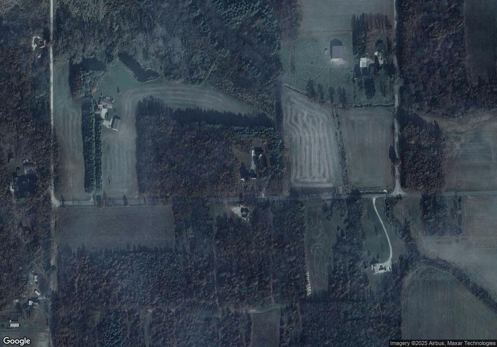
Map
Nearby Homes
- TBD E 550 N
- 7640 Union Rd
- 20510 W 8th Rd
- 11538 E 400 N
- 19203 6th Rd
- 20906 S Lake Dr
- 00 S Lake Dr
- TBD S Lake Dr
- 20782 S Lake Dr
- 19547 Lincoln Hwy
- 11985 E South St
- TBD Beech Ave
- 20973 N Lake Dr
- Lot 10 Shipping Lane Dr W
- TBD 500 N
- 10959 E Tippecanoe Dr
- 7685 N Tecumseh Rd
- 11045 E Iroquois Rd
- 5099 Sage Rd
- 7783 N Tippecanoe Dr
- 20741 6b Rd
- 6446 Underwood Rd
- 20970 6b Rd
- 6337 Underwood Rd
- 5511 N 1200 E
- 11995 E 550 N
- 6730 W County Line Rd
- 11920 E 550 N
- 6187 Underwood Rd
- 20530 6b Rd
- 5195 N 1200 E
- 6168 Underwood Rd
- 20495 6b Rd
- 6920 W County Line Rd
- 20464 6b Rd
- 6025 Underwood Rd
- 6250 Underwood Rd
- 20899 7th Rd
- 20781 7th Rd
- 20793 7th Rd