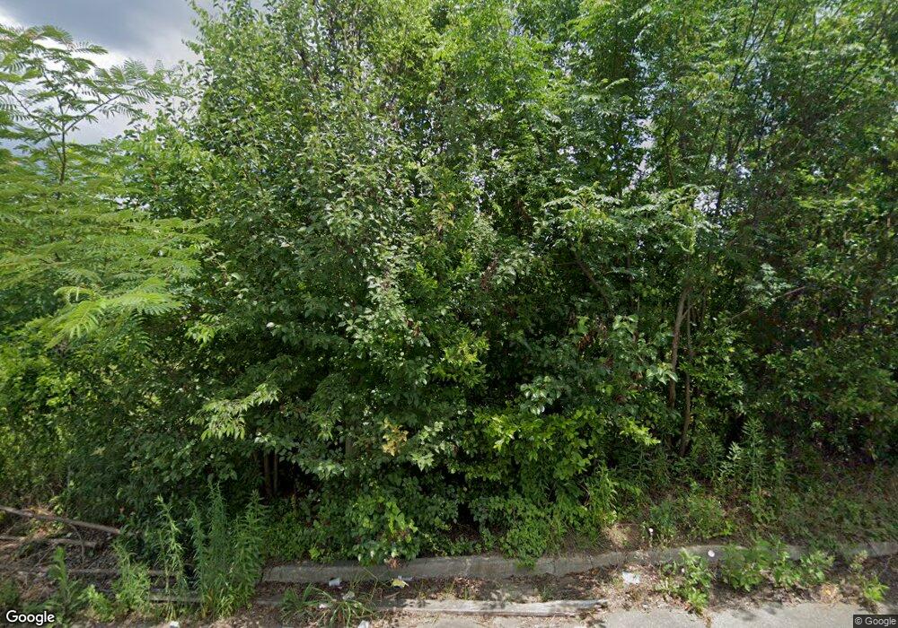
2086 Monroe Ave Macon, GA 31204
Estimated Value: $36,000 - $88,000
2
Beds
--
Bath
1,000
Sq Ft
$70/Sq Ft
Est. Value
About This Home
This home is located at 2086 Monroe Ave, Macon, GA 31204 and is currently estimated at $70,333, approximately $70 per square foot. 2086 Monroe Ave is a home located in Bibb County with nearby schools including Hartley Elementary School, Southwest High School, and Cirrus Charter Academy.
Ownership History
Date
Name
Owned For
Owner Type
Purchase Details
Closed on
Jul 1, 2025
Sold by
Macon-Bibb County Land Bank Authority
Bought by
Monroe Rise Land Trust
Current Estimated Value
Purchase Details
Closed on
May 4, 2022
Sold by
Bentley Gregory R
Bought by
Nig Ventures Llc and Victoria 138 Llc
Purchase Details
Closed on
Sep 28, 2016
Sold by
Annie Ruth Estate
Bought by
Bentley Gregory R
Purchase Details
Closed on
Feb 9, 1994
Sold by
Waits Harriette E
Bought by
Wilson Annie Ruth
Create a Home Valuation Report for This Property
The Home Valuation Report is an in-depth analysis detailing your home's value as well as a comparison with similar homes in the area
Home Values in the Area
Average Home Value in this Area
Purchase History
| Date | Buyer | Sale Price | Title Company |
|---|---|---|---|
| Monroe Rise Land Trust | $3,250 | None Listed On Document | |
| Nig Ventures Llc | -- | -- | |
| Bentley Gregory R | $3,000 | -- | |
| Wilson Annie Ruth | $5,600 | -- |
Source: Public Records
Tax History Compared to Growth
Tax History
| Year | Tax Paid | Tax Assessment Tax Assessment Total Assessment is a certain percentage of the fair market value that is determined by local assessors to be the total taxable value of land and additions on the property. | Land | Improvement |
|---|---|---|---|---|
| 2025 | $79 | $3,220 | $3,220 | $0 |
| 2024 | $82 | $3,220 | $3,220 | $0 |
| 2023 | $95 | $3,220 | $3,220 | $0 |
| 2022 | $486 | $3,425 | $2,532 | $893 |
| 2021 | $539 | $3,425 | $2,532 | $893 |
| 2020 | $551 | $3,425 | $2,532 | $893 |
| 2019 | $134 | $3,425 | $2,532 | $893 |
| 2018 | $925 | $3,425 | $2,532 | $893 |
| 2017 | $128 | $3,425 | $2,532 | $893 |
| 2016 | $119 | $3,441 | $2,532 | $909 |
| 2015 | $168 | $3,441 | $2,532 | $909 |
| 2014 | $194 | $3,441 | $2,532 | $909 |
Source: Public Records
Map
Nearby Homes
- 2032 Vining Cir
- 1121 Carroll St
- 1144 Carroll St
- 2125 Cedar Ave
- 2349 Mason St
- 1049 Anthony Rd
- 1045 Anthony Rd
- 210 Moseley Ave
- 466 Petunia Ave
- 710 Poppy Ave
- 2420 Adams Ave
- 2249 Lowe St
- 1545 Anthony Rd
- 576 Pansy Ave
- 1580 Marigold Ave
- 2350 Anthony Terrace
- 430 Daffodil St
- 1255 Ell St
- 1495 Ninadel Dr
- 777 Grosso Ave
- 2086 AND 2094 Monroe Ave
- 2072 Monroe Ave
- 2110 Monroe Ave
- 2095 Lincoln St
- 1122 Stephens St
- 2103 Lincoln St
- 2116 Monroe Ave
- 1110 Stephens St
- 2109 Monroe Ave
- 2115 Lincoln St
- 2122 Monroe Ave
- 2119 Monroe Ave
- 2123 Lincoln St
- 2137 Monroe Ave
- 1109 Stephens St
- 1125 Stephens St
- 1135 Stephens St
- 1105 Stephens St
- 2068 Adams Ave
- 2127 Lincoln St
