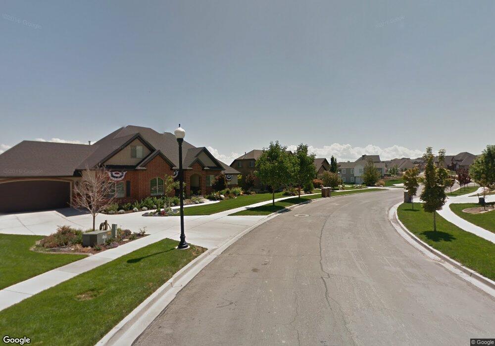
2086 S Ruger Dr Saratoga Springs, UT 84045
Estimated Value: $870,000 - $1,086,000
6
Beds
4
Baths
6,593
Sq Ft
$149/Sq Ft
Est. Value
About This Home
This home is located at 2086 S Ruger Dr, Saratoga Springs, UT 84045 and is currently estimated at $979,480, approximately $148 per square foot. 2086 S Ruger Dr is a home located in Utah County with nearby schools including Sage Hills Elementary School, Lake Mountain Middle School, and Westlake High School.
Ownership History
Date
Name
Owned For
Owner Type
Purchase Details
Closed on
Mar 18, 2024
Sold by
Anderson Jon D
Bought by
Anderson Nicklas and Anderson Angela
Current Estimated Value
Purchase Details
Closed on
Mar 22, 2021
Sold by
Anderson Nicklas and Anderson Angela
Bought by
Anderson Nicklas and Anderson Angela
Home Financials for this Owner
Home Financials are based on the most recent Mortgage that was taken out on this home.
Original Mortgage
$130,000
Interest Rate
2.67%
Mortgage Type
New Conventional
Purchase Details
Closed on
Feb 1, 2021
Sold by
Vick Jeremy and Vick Melanie Brooke
Bought by
Anderson Nicklas and Anderson Angela
Home Financials for this Owner
Home Financials are based on the most recent Mortgage that was taken out on this home.
Original Mortgage
$130,000
Interest Rate
2.67%
Mortgage Type
New Conventional
Purchase Details
Closed on
Jul 12, 2017
Sold by
Vick Jeremy G and Vick Melanie B
Bought by
Vick Jeremy and Vick Melanie Brooke
Home Financials for this Owner
Home Financials are based on the most recent Mortgage that was taken out on this home.
Original Mortgage
$320,000
Interest Rate
3.25%
Mortgage Type
Adjustable Rate Mortgage/ARM
Purchase Details
Closed on
Jul 7, 2017
Sold by
Vick Jeremy G and Vick Melanie B
Bought by
Vick Jeremy and Vick Melanie Brooke
Home Financials for this Owner
Home Financials are based on the most recent Mortgage that was taken out on this home.
Original Mortgage
$320,000
Interest Rate
3.25%
Mortgage Type
Adjustable Rate Mortgage/ARM
Purchase Details
Closed on
Nov 4, 2009
Sold by
Family First Federal Credit Union
Bought by
Vick Jeremy G and Vick Melanie B
Home Financials for this Owner
Home Financials are based on the most recent Mortgage that was taken out on this home.
Original Mortgage
$317,700
Interest Rate
5.02%
Mortgage Type
New Conventional
Purchase Details
Closed on
Mar 16, 2009
Sold by
Monson Aaron
Bought by
Family First Federal Credit Union
Purchase Details
Closed on
Dec 13, 2006
Sold by
Land Rock Development Lc
Bought by
Monson Aaron
Home Financials for this Owner
Home Financials are based on the most recent Mortgage that was taken out on this home.
Original Mortgage
$394,000
Interest Rate
6.12%
Mortgage Type
Purchase Money Mortgage
Create a Home Valuation Report for This Property
The Home Valuation Report is an in-depth analysis detailing your home's value as well as a comparison with similar homes in the area
Home Values in the Area
Average Home Value in this Area
Purchase History
| Date | Buyer | Sale Price | Title Company |
|---|---|---|---|
| Anderson Nicklas | -- | Gt Title Services | |
| Anderson Nicklas | -- | Gt Title Services | |
| Anderson Nicklas | -- | Gt Title Services | |
| Vick Jeremy | -- | Meridian Title Co | |
| Vick Jeremy | -- | Meridian Title Co | |
| Vick Jeremy G | -- | Juab Title & Abstract Compa | |
| Family First Federal Credit Union | -- | None Available | |
| Monson Aaron | -- | Title West Title Company |
Source: Public Records
Mortgage History
| Date | Status | Borrower | Loan Amount |
|---|---|---|---|
| Previous Owner | Anderson Nicklas | $130,000 | |
| Previous Owner | Vick Jeremy | $320,000 | |
| Previous Owner | Vick Jeremy | $320,000 | |
| Previous Owner | Vick Jeremy G | $317,700 | |
| Previous Owner | Monson Aaron | $394,000 |
Source: Public Records
Tax History Compared to Growth
Tax History
| Year | Tax Paid | Tax Assessment Tax Assessment Total Assessment is a certain percentage of the fair market value that is determined by local assessors to be the total taxable value of land and additions on the property. | Land | Improvement |
|---|---|---|---|---|
| 2025 | $3,836 | $939,400 | $265,200 | $674,200 |
| 2024 | $3,836 | $460,790 | $0 | $0 |
| 2023 | $3,533 | $456,335 | $0 | $0 |
| 2022 | $3,405 | $428,945 | $0 | $0 |
| 2021 | $2,930 | $551,000 | $149,600 | $401,400 |
| 2020 | $2,814 | $519,600 | $133,600 | $386,000 |
| 2019 | $2,696 | $515,500 | $129,500 | $386,000 |
| 2018 | $2,812 | $507,400 | $121,400 | $386,000 |
| 2017 | $2,745 | $264,990 | $0 | $0 |
| 2016 | $2,747 | $246,125 | $0 | $0 |
| 2015 | $2,895 | $246,125 | $0 | $0 |
| 2014 | $2,557 | $214,885 | $0 | $0 |
Source: Public Records
Map
Nearby Homes
- 2162 S Ruger Dr
- 2039 S Roan Ave
- 2238 S Western Dr
- 2274 S Browning Dr
- 2199 S Morgan Rd
- 2237 S Maverick Rd
- 2226 S Maverick Rd
- 2262 S Maverick Rd
- 153 W Honeysuckle Dr
- 2559 S Colt Dr
- 197 W Parkside Dr
- 244 E Range Rd
- 127 W Honeysuckle Dr Unit 221
- 312 W Landview Dr
- 1470 S Trapper Rd
- 231 S Wiltshire Ln
- 2387 S Maverick Rd W
- 151 E Cameron Dr
- 7323 N Long Dr Unit 607
- 277 E Bennett Ln
- 2086 S Ruger Dr Unit 815
- 2086 S Ruger Dr
- 2096 S Ruger Dr
- 2096 S Ruger Dr
- 386 W Ruger Dr
- 386 W Ruger Dr Unit 816
- 389 W Ruger Dr Unit 1404
- 389 W Ruger Dr Unit 1405
- 2097 S Weatherby Dr
- 391 W Ruger Dr
- 343 W Bridle Cir Unit 1012
- 343 W Bridle Cir
- 2097 S Weatherby Dr
- 343 W Bridle Cir
- 2087 S Weatherby Dr Unit 810
- 2087 S Weatherby Dr Unit 810
- 2112 S Ruger Dr
- 353 W Bridle Cir
- 353 W Bridle Cir Unit 1013
- 403 W Ruger Dr Unit 818