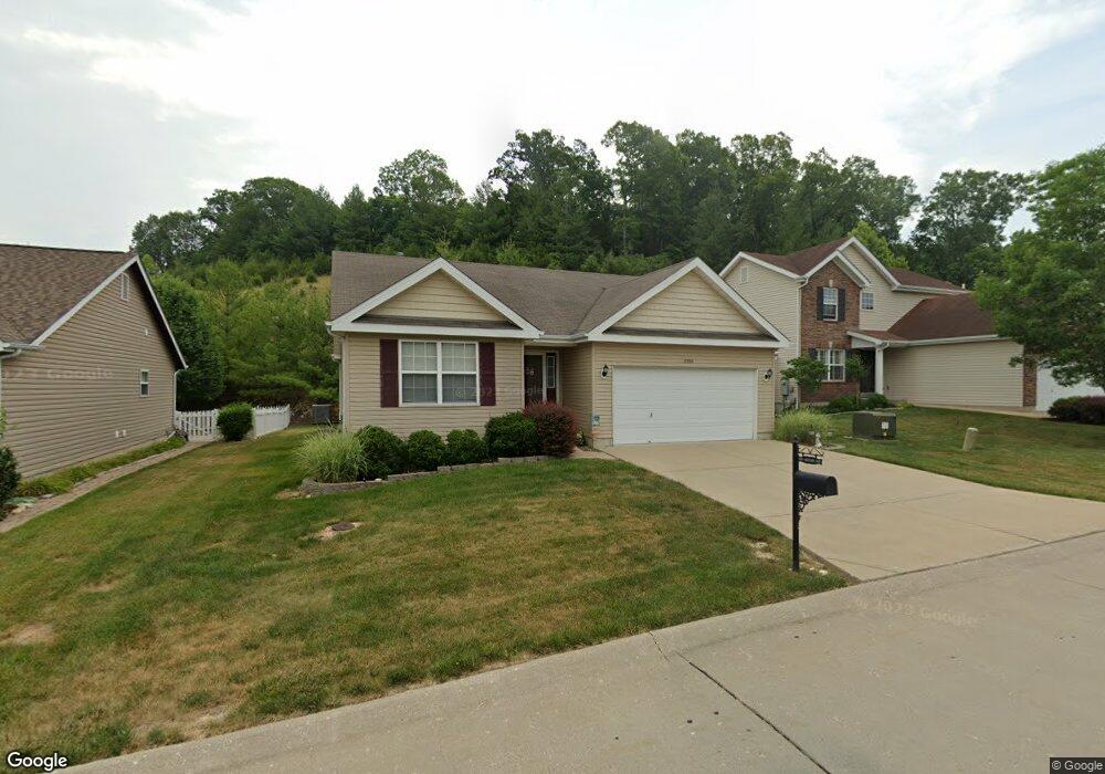
2086 Shetland Path Lot #325 High Ridge, MO 63049
Estimated Value: $257,712 - $361,000
--
Bed
2
Baths
1,309
Sq Ft
$242/Sq Ft
Est. Value
About This Home
This home is located at 2086 Shetland Path Lot #325, High Ridge, MO 63049 and is currently estimated at $316,178, approximately $241 per square foot. 2086 Shetland Path Lot #325 is a home located in Jefferson County with nearby schools including Northwest High School and St. Anthony School.
Ownership History
Date
Name
Owned For
Owner Type
Purchase Details
Closed on
Mar 26, 2010
Sold by
Mcbride & Son Homes Inc
Bought by
Daub William L and Daub Cheryle A
Current Estimated Value
Home Financials for this Owner
Home Financials are based on the most recent Mortgage that was taken out on this home.
Original Mortgage
$143,700
Interest Rate
4.37%
Mortgage Type
New Conventional
Create a Home Valuation Report for This Property
The Home Valuation Report is an in-depth analysis detailing your home's value as well as a comparison with similar homes in the area
Home Values in the Area
Average Home Value in this Area
Purchase History
| Date | Buyer | Sale Price | Title Company |
|---|---|---|---|
| Daub William L | -- | Dependable Title Llc |
Source: Public Records
Mortgage History
| Date | Status | Borrower | Loan Amount |
|---|---|---|---|
| Previous Owner | Daub William L | $143,700 |
Source: Public Records
Tax History Compared to Growth
Tax History
| Year | Tax Paid | Tax Assessment Tax Assessment Total Assessment is a certain percentage of the fair market value that is determined by local assessors to be the total taxable value of land and additions on the property. | Land | Improvement |
|---|---|---|---|---|
| 2025 | $2,708 | $40,800 | $7,700 | $33,100 |
| 2024 | $2,708 | $37,500 | $7,700 | $29,800 |
| 2023 | $2,708 | $37,500 | $7,700 | $29,800 |
| 2022 | $2,566 | $35,700 | $5,900 | $29,800 |
| 2021 | $2,550 | $35,700 | $5,900 | $29,800 |
| 2020 | $2,312 | $31,600 | $5,100 | $26,500 |
| 2019 | $2,310 | $31,600 | $5,100 | $26,500 |
| 2018 | $2,340 | $31,600 | $5,100 | $26,500 |
| 2017 | $2,138 | $31,600 | $5,100 | $26,500 |
| 2016 | $1,993 | $29,200 | $5,200 | $24,000 |
| 2015 | $2,048 | $29,200 | $5,200 | $24,000 |
| 2013 | -- | $29,000 | $5,200 | $23,800 |
Source: Public Records
Map
Nearby Homes
- 11 Fox Trotter Ct
- 0 Mikel Ln
- 101 Lipizzan Ct
- 2276 Appaloosa Trail
- 2108 Hillsboro Valley Park Rd
- 2112 Freckles Dr
- 709 Heatherstone Dr
- 0 Glick Rd Unit MIS25042566
- 2141 Sunswept Ln
- 1641 S Golden Cir
- 1599 Paradise Valley Dr
- 4856 E Golden Cir
- 2133 Ridgedale Dr
- 2164 Heather Ln
- 2135 Linnus Dr
- 2149 Linnus Dr
- 1516 Redbriar Dr
- 159 Brandy Mill Cir Unit 28D
- 1365 Hillsboro Rd
- 4635 White Ash Dr
- 2086Lot #325 Shetland Path
- 2086 Shetland Path
- 2090 Shetland Path
- 2082 Shetland Path
- 2094 Shetland Path
- 2094Lot #327 Shetland Path
- 2094 Shetland Path Lot #327
- 2078 Shetland Path Lot #323
- 2083 Shetland Path
- 2098 Shetland Path
- 2074 Shetland Path Lot #322
- 2074 Shetland Path
- 2075 Shetland Path
- 5216 Harter Farms Manor
- 2066 Shetland Path
- 2071 Shetland Path
- 5212 Harter Farms Manor
- 5227 Harter Farms Manor
- 2067 Shetland Path
- 2060 Shetland Path