20865 Road 24t Delphos, OH 45833
Estimated Value: $370,000
--
Bed
--
Bath
--
Sq Ft
1
Acres
About This Home
This home is located at 20865 Road 24t, Delphos, OH 45833 and is currently estimated at $370,000. 20865 Road 24t is a home located in Putnam County with nearby schools including Fort Jennings Elementary School, Fort Jennings High School, and Delphos St. John's High School.
Ownership History
Date
Name
Owned For
Owner Type
Purchase Details
Closed on
Nov 21, 2023
Sold by
German Charles V and German Donna M
Bought by
Charles And Donna German Irrevocable Trust and German
Current Estimated Value
Purchase Details
Closed on
Apr 3, 2014
Home Financials for this Owner
Home Financials are based on the most recent Mortgage that was taken out on this home.
Interest Rate
4.41%
Purchase Details
Closed on
Jun 4, 2007
Sold by
Ketcham Richard D and Ketcham Shannon
Bought by
Ketcham Joan
Purchase Details
Closed on
Mar 14, 2004
Bought by
German Charles and Surv Donna M
Create a Home Valuation Report for This Property
The Home Valuation Report is an in-depth analysis detailing your home's value as well as a comparison with similar homes in the area
Home Values in the Area
Average Home Value in this Area
Purchase History
| Date | Buyer | Sale Price | Title Company |
|---|---|---|---|
| Charles And Donna German Irrevocable Trust | -- | None Listed On Document | |
| -- | $2,500 | -- | |
| Ketcham Joan | -- | None Available | |
| German Charles | $2,500 | -- |
Source: Public Records
Mortgage History
| Date | Status | Borrower | Loan Amount |
|---|---|---|---|
| Previous Owner | -- | -- |
Source: Public Records
Tax History Compared to Growth
Tax History
| Year | Tax Paid | Tax Assessment Tax Assessment Total Assessment is a certain percentage of the fair market value that is determined by local assessors to be the total taxable value of land and additions on the property. | Land | Improvement |
|---|---|---|---|---|
| 2024 | $219 | $7,120 | $7,120 | $0 |
| 2023 | $231 | $5,340 | $5,340 | $0 |
| 2022 | $195 | $5,341 | $5,341 | $0 |
| 2021 | $195 | $5,340 | $5,340 | $0 |
| 2020 | $201 | $4,550 | $4,550 | $0 |
| 2019 | $184 | $5,340 | $5,340 | $0 |
| 2018 | $180 | $5,340 | $5,340 | $0 |
| 2017 | $154 | $5,340 | $5,340 | $0 |
| 2016 | $154 | $4,550 | $4,550 | $0 |
| 2015 | $169 | $4,550 | $4,550 | $0 |
| 2014 | $155 | $4,120 | $3,330 | $790 |
| 2013 | $244 | $6,350 | $3,330 | $3,020 |
Source: Public Records
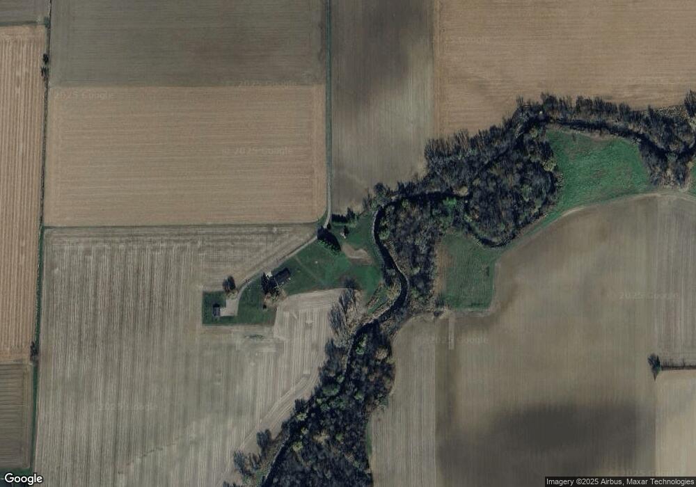
Map
Nearby Homes
- 7510 State Route 66
- 1303 Carolyn Dr
- 1220 Rose Anna Dr
- 810 N Franklin St
- 704 N Franklin St
- 628 N Pierce St
- 610 N Washington St
- 650 E 6th St
- 604 W 6th St
- 503 W 6th St
- 8951 Brickner Rd
- 616 W 5th St
- 405 N Franklin St
- 914 E 3rd St
- 409 N Bredeick St
- 210 E 3rd St
- 821 E 3rd St
- 903 E 3rd St
- 633 E 2nd St
- 221 S Main St
- 20799 Road 24t
- 20850 Road 24t
- 20694 State Route 190
- 21326 Road 24u
- 21370 State Route 190
- 24256 Road T23
- 20619 State Route 190
- 20617 State Route 190
- 21077 State Route 190
- 21374 State Route 190
- 21485 Road 24u
- 8652 State Route 66
- 24164 Road T23
- 21426 State Route 190
- 8485 State Route 66
- 21484 State Route 190
- 8419 State Route 66
- 24674 Road T
- 20235 State Route 190