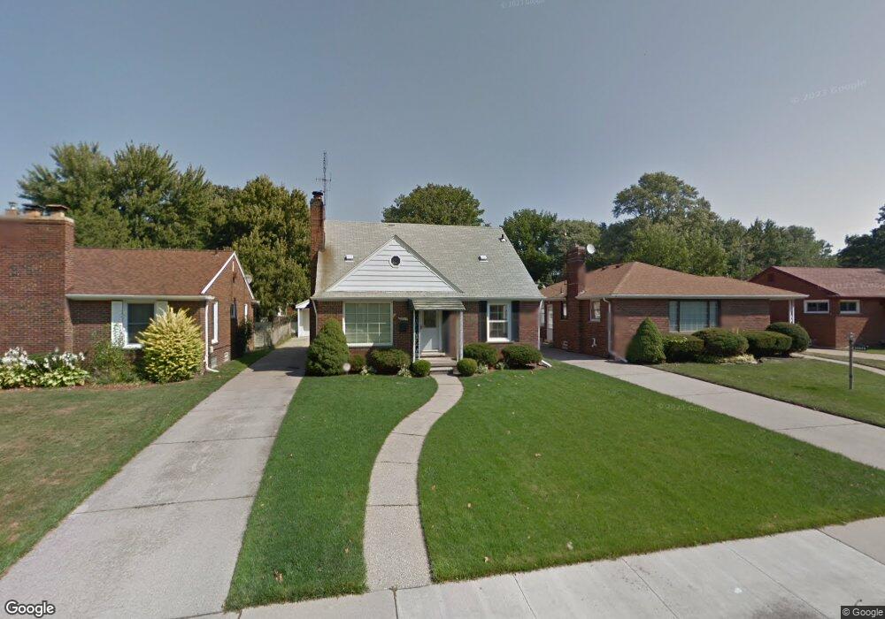
20869 Littlestone Rd Harper Woods, MI 48225
Estimated Value: $178,000 - $219,000
3
Beds
1
Bath
1,100
Sq Ft
$181/Sq Ft
Est. Value
About This Home
This home is located at 20869 Littlestone Rd, Harper Woods, MI 48225 and is currently estimated at $199,256, approximately $181 per square foot. 20869 Littlestone Rd is a home located in Wayne County with nearby schools including John Monteith Elementary School, Brownell Middle School, and Grosse Pointe North High School.
Ownership History
Date
Name
Owned For
Owner Type
Purchase Details
Closed on
Nov 29, 2010
Sold by
Carr Nancy Lynn
Bought by
Harris Erica J
Current Estimated Value
Home Financials for this Owner
Home Financials are based on the most recent Mortgage that was taken out on this home.
Original Mortgage
$7,332
Outstanding Balance
$4,847
Interest Rate
4.23%
Mortgage Type
Second Mortgage Made To Cover Down Payment
Estimated Equity
$194,409
Create a Home Valuation Report for This Property
The Home Valuation Report is an in-depth analysis detailing your home's value as well as a comparison with similar homes in the area
Home Values in the Area
Average Home Value in this Area
Purchase History
| Date | Buyer | Sale Price | Title Company |
|---|---|---|---|
| Harris Erica J | $50,000 | Greater Macomb Title Agency |
Source: Public Records
Mortgage History
| Date | Status | Borrower | Loan Amount |
|---|---|---|---|
| Open | Harris Erica J | $7,332 | |
| Open | Harris Erica J | $48,732 |
Source: Public Records
Tax History Compared to Growth
Tax History
| Year | Tax Paid | Tax Assessment Tax Assessment Total Assessment is a certain percentage of the fair market value that is determined by local assessors to be the total taxable value of land and additions on the property. | Land | Improvement |
|---|---|---|---|---|
| 2025 | $876 | $88,200 | $0 | $0 |
| 2024 | $876 | $81,900 | $0 | $0 |
| 2023 | $836 | $70,000 | $0 | $0 |
| 2022 | $1,854 | $63,800 | $0 | $0 |
| 2021 | $1,867 | $53,500 | $0 | $0 |
| 2019 | $1,829 | $38,400 | $0 | $0 |
| 2018 | $650 | $32,700 | $0 | $0 |
| 2017 | $2,056 | $32,700 | $0 | $0 |
| 2016 | $1,719 | $29,700 | $0 | $0 |
| 2015 | $1,828 | $26,000 | $0 | $0 |
| 2013 | $1,810 | $18,100 | $0 | $0 |
| 2012 | $481 | $20,900 | $7,800 | $13,100 |
Source: Public Records
Map
Nearby Homes
- 2368 Stanhope St
- 2371 Allard Ave
- 2286 Allard Ave
- 2368 Allard Ave
- 21135 Littlestone Rd
- 20688 Woodland St
- 20870 Wildwood Dr Unit 221
- 19804 Harper Ave Unit 202
- 21216 Brierstone St
- 20852 Wildwood Dr Unit 109
- 20635 Woodside St
- 20923 Wildwood Dr Unit 226
- 21138 Huntington Ave
- 20618 Woodside St
- 20696 Huntington Ave
- 20914 Woodmont St
- 21315 Prestwick Ave
- 20884 Woodmont St
- 20488 Woodcrest St
- 2021 Allard Ave
- 20859 Littlestone Rd
- 20879 Littlestone Rd
- 20887 Littlestone Rd
- 2337 Stanhope St
- 20897 Littlestone Rd
- 2329 Stanhope St
- 2353 Stanhope St
- 2321 Stanhope St
- 20872 Littlestone Rd
- 20880 Littlestone Rd
- 20905 Littlestone Rd
- 2361 Stanhope St
- 20890 Littlestone Rd
- 2313 Stanhope St
- 2369 Stanhope St
- 20900 Littlestone Rd
- 20915 Littlestone Rd
- 2305 Stanhope St
- 20820 Littlestone #1
- 20820 Littlestone #4