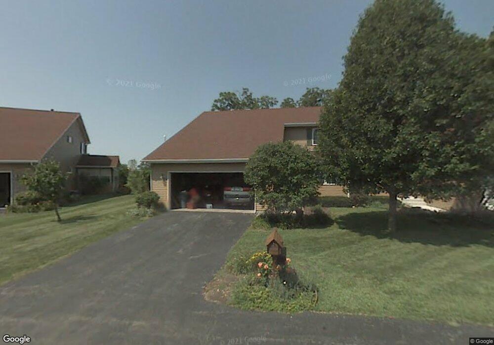
2087 Creek Ct Dekalb, IL 60115
Estimated Value: $257,000 - $357,000
--
Bed
--
Bath
--
Sq Ft
2,744
Sq Ft Lot
About This Home
This home is located at 2087 Creek Ct, Dekalb, IL 60115 and is currently estimated at $303,953. 2087 Creek Ct is a home located in DeKalb County with nearby schools including Lincoln Elementary School, Huntley Middle School, and De Kalb High School.
Ownership History
Date
Name
Owned For
Owner Type
Purchase Details
Closed on
Oct 26, 2017
Sold by
Shaw Erin Eric
Bought by
May Michael
Current Estimated Value
Home Financials for this Owner
Home Financials are based on the most recent Mortgage that was taken out on this home.
Original Mortgage
$132,795
Outstanding Balance
$111,069
Interest Rate
3.78%
Mortgage Type
VA
Estimated Equity
$192,884
Purchase Details
Closed on
Feb 21, 2011
Sold by
May Cecilia E
Bought by
May Cecilia E
Create a Home Valuation Report for This Property
The Home Valuation Report is an in-depth analysis detailing your home's value as well as a comparison with similar homes in the area
Home Values in the Area
Average Home Value in this Area
Purchase History
| Date | Buyer | Sale Price | Title Company |
|---|---|---|---|
| May Michael | $130,000 | None Available | |
| May Cecilia E | -- | -- | |
| May Trust | -- | -- |
Source: Public Records
Mortgage History
| Date | Status | Borrower | Loan Amount |
|---|---|---|---|
| Open | May Michael | $132,795 |
Source: Public Records
Tax History Compared to Growth
Tax History
| Year | Tax Paid | Tax Assessment Tax Assessment Total Assessment is a certain percentage of the fair market value that is determined by local assessors to be the total taxable value of land and additions on the property. | Land | Improvement |
|---|---|---|---|---|
| 2024 | $5,835 | $77,969 | $6,946 | $71,023 |
| 2023 | $5,835 | $67,982 | $6,056 | $61,926 |
| 2022 | $5,778 | $62,067 | $6,911 | $55,156 |
| 2021 | $5,778 | $58,213 | $6,482 | $51,731 |
| 2020 | $5,898 | $57,285 | $6,379 | $50,906 |
| 2019 | $5,754 | $55,034 | $6,128 | $48,906 |
| 2018 | $5,594 | $53,168 | $5,920 | $47,248 |
| 2017 | $4,996 | $51,109 | $5,691 | $45,418 |
| 2016 | $4,906 | $49,818 | $5,547 | $44,271 |
| 2015 | -- | $50,809 | $5,256 | $45,553 |
| 2014 | -- | $48,257 | $7,606 | $40,651 |
| 2013 | -- | $50,691 | $7,990 | $42,701 |
Source: Public Records
Map
Nearby Homes
- 129 Devonshire Dr
- 111 Salem Dr
- 1133 Golf Ct
- 1177 Golf Ct
- 216 Pardridge Place
- 1208 Stafford St
- 1143 Quail Run
- 1113 Gifford St
- 617 E Fairview Dr
- TBD 8.67 Acres Fairview Dr
- 910 Dawn Ct
- 255 Bent Grass Cir
- 253 Bent Grass Cir
- 3011 S 4th St
- 411 Gayle Ave
- 8750 Gurler Rd
- 283 Par Five Dr Unit D
- 212 Saint Andrews Dr
- 18.6 Acre Lot Fairview Dr
- TBD Peace Rd
- 2085 Creek Ct
- 2103 Creek Ct
- 2100 Creek Ct
- 2105 Creek Ct
- 2102 Creek Ct
- 2072 Creek Ct
- 2074 Creek Ct
- 111 Devonshire Dr
- 102 Berkshire Dr
- 102 Cobblestone Trail
- 123 Devonshire Dr
- 2595 S 1st St
- 101 Cobblestone Trail
- 106 Berkshire Dr
- 110 Cobblestone Trail
- 110 Devonshire Dr
- 107 Berkshire Dr
- 105 Cobblestone Trail
- 128 Devonshire Dr
- 135 Devonshire Dr