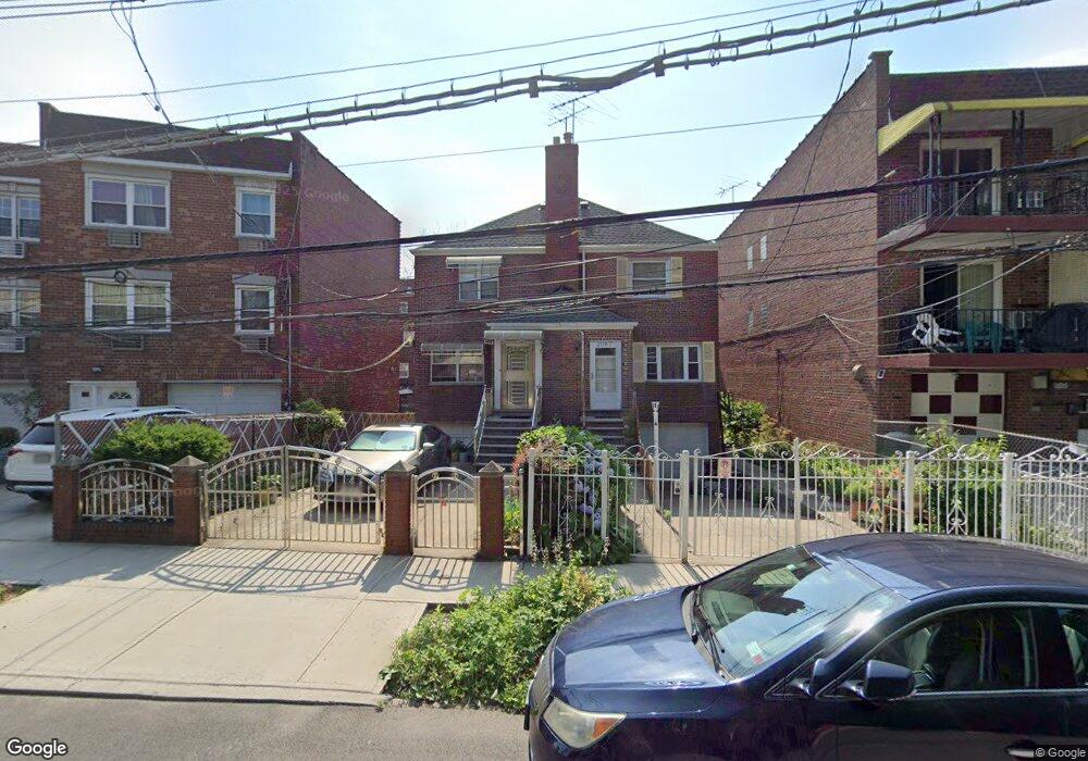
2087 Muliner Ave Bronx, NY 10462
Pelham Parkway NeighborhoodEstimated Value: $583,884 - $799,000
--
Bed
--
Bath
1,760
Sq Ft
$412/Sq Ft
Est. Value
About This Home
This home is located at 2087 Muliner Ave, Bronx, NY 10462 and is currently estimated at $724,971, approximately $411 per square foot. 2087 Muliner Ave is a home located in Bronx County with nearby schools including Pelham Academy, Bronx Green Middle School, and Bronx Charter School For Excellence 2.
Ownership History
Date
Name
Owned For
Owner Type
Purchase Details
Closed on
Apr 19, 2022
Sold by
Cersosimo Edward and Cersosimo Indira
Bought by
Cersosimo Edward and Cersosimo Indira
Current Estimated Value
Home Financials for this Owner
Home Financials are based on the most recent Mortgage that was taken out on this home.
Original Mortgage
$115,000
Outstanding Balance
$108,939
Interest Rate
5.1%
Mortgage Type
Purchase Money Mortgage
Estimated Equity
$616,032
Create a Home Valuation Report for This Property
The Home Valuation Report is an in-depth analysis detailing your home's value as well as a comparison with similar homes in the area
Home Values in the Area
Average Home Value in this Area
Purchase History
| Date | Buyer | Sale Price | Title Company |
|---|---|---|---|
| Cersosimo Edward | -- | -- |
Source: Public Records
Mortgage History
| Date | Status | Borrower | Loan Amount |
|---|---|---|---|
| Open | Cersosimo Edward | $115,000 |
Source: Public Records
Tax History Compared to Growth
Tax History
| Year | Tax Paid | Tax Assessment Tax Assessment Total Assessment is a certain percentage of the fair market value that is determined by local assessors to be the total taxable value of land and additions on the property. | Land | Improvement |
|---|---|---|---|---|
| 2025 | $5,458 | $30,287 | $8,676 | $21,611 |
| 2024 | $5,458 | $28,573 | $7,555 | $21,018 |
| 2023 | $5,190 | $26,957 | $6,541 | $20,416 |
| 2022 | $4,939 | $39,180 | $9,900 | $29,280 |
| 2021 | $5,206 | $36,540 | $9,900 | $26,640 |
| 2020 | $5,047 | $31,620 | $9,900 | $21,720 |
| 2019 | $4,688 | $30,900 | $9,900 | $21,000 |
| 2018 | $4,282 | $22,464 | $7,770 | $14,694 |
| 2017 | $4,148 | $21,816 | $7,515 | $14,301 |
| 2016 | $4,051 | $21,816 | $8,275 | $13,541 |
| 2015 | $2,262 | $21,033 | $7,683 | $13,350 |
| 2014 | $2,262 | $19,843 | $8,627 | $11,216 |
Source: Public Records
Map
Nearby Homes
- 2080 Matthews Ave
- 2080 Barnes Ave Unit 5C
- 2080 Barnes Ave Unit 3H
- 2080 Barnes Ave Unit 4A
- 2080 Barnes Ave Unit 5B
- 2090 Barnes Ave Unit 6A
- 2090 Barnes Ave Unit 4D
- 2090 Barnes Ave Unit 2H
- 2129 Muliner Ave
- - Lydig Ave
- 2037 Radcliff Ave
- 2075 Wallace Ave Unit 546
- 2116 Paulding Ave
- 2105 Wallace Ave Unit 5A
- 2105 Wallace Ave Unit 4A
- 2105 Wallace Ave Unit 2D
- 2104 Holland Ave Unit 4D
- 2104 Holland Ave Unit 4H
- 2107 Wallace Ave Unit 4G
- 2107 Wallace Ave Unit 6E
- 2089 Muliner Ave
- 2085 Muliner Ave
- 2091 Muliner Ave
- 2083 Muliner Ave
- 2093 Muliner Ave
- 2081 Muliner Ave
- 2095 Muliner Ave
- 2076A Matthews Ave
- 2088 Matthews Ave
- 2097 Muliner Ave
- 2076 Matthews Ave
- 2090 Matthews Ave
- 2074A Matthews Ave
- 2079 Muliner Ave
- 2092 Matthews Ave
- 2099 Muliner Ave
- 2074 Matthews Ave
- 2074 Matthews Ave Unit 1
- 2094 Matthews Ave
- 2072 Matthews Ave