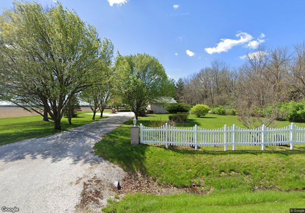
2087 N 700 East Rd Edinburg, IL 62531
Estimated Value: $396,000 - $398,000
3
Beds
--
Bath
2,464
Sq Ft
$161/Sq Ft
Est. Value
About This Home
This home is located at 2087 N 700 East Rd, Edinburg, IL 62531 and is currently estimated at $397,043, approximately $161 per square foot. 2087 N 700 East Rd is a home located in Christian County with nearby schools including Edinburg Elementary School, Edinburg Junior High School, and Edinburg High School.
Ownership History
Date
Name
Owned For
Owner Type
Purchase Details
Closed on
Sep 16, 2025
Sold by
Bridgwater Dorothy M
Bought by
Jaeger Paul A and Jaeger Kristie L
Current Estimated Value
Home Financials for this Owner
Home Financials are based on the most recent Mortgage that was taken out on this home.
Original Mortgage
$193,000
Outstanding Balance
$193,000
Interest Rate
6.63%
Mortgage Type
New Conventional
Estimated Equity
$204,043
Create a Home Valuation Report for This Property
The Home Valuation Report is an in-depth analysis detailing your home's value as well as a comparison with similar homes in the area
Home Values in the Area
Average Home Value in this Area
Purchase History
| Date | Buyer | Sale Price | Title Company |
|---|---|---|---|
| Jaeger Paul A | $355,000 | None Listed On Document |
Source: Public Records
Mortgage History
| Date | Status | Borrower | Loan Amount |
|---|---|---|---|
| Open | Jaeger Paul A | $193,000 |
Source: Public Records
Tax History Compared to Growth
Tax History
| Year | Tax Paid | Tax Assessment Tax Assessment Total Assessment is a certain percentage of the fair market value that is determined by local assessors to be the total taxable value of land and additions on the property. | Land | Improvement |
|---|---|---|---|---|
| 2024 | $398 | $83,146 | $15,235 | $67,911 |
| 2023 | $3,808 | $77,672 | $14,067 | $63,605 |
| 2022 | $3,556 | $71,069 | $12,812 | $58,257 |
| 2021 | $3,438 | $69,550 | $12,256 | $57,294 |
| 2020 | $3,461 | $69,111 | $11,817 | $57,294 |
| 2019 | $3,424 | $68,711 | $11,417 | $57,294 |
| 2018 | $3,334 | $66,157 | $10,790 | $55,367 |
| 2017 | $3,189 | $63,660 | $8,639 | $55,021 |
| 2016 | $3,119 | $62,167 | $8,225 | $53,942 |
| 2015 | $2,990 | $59,527 | $7,730 | $51,797 |
| 2014 | $2,875 | $58,324 | $7,617 | $50,707 |
| 2013 | $2,408 | $52,802 | $7,669 | $45,133 |
| 2011 | $2,868 | $52,321 | $7,188 | $45,133 |
Source: Public Records
Map
Nearby Homes
- 419 W Lincoln St
- 107 E Harrison St
- 2600 N 800 Rd E
- 417 E Washington St
- 421 E Washington St
- 406 Oak St
- 403 Oak St
- 300 Walnut St
- 201 Miss Debra Ave
- 1 Sarah Ln
- 8954 Boyd Farm Rd
- 108 Mason St
- 8200 New City Rd Unit 1
- 2437 N 1030 East Rd
- 7355 New City Rd
- 8519 Cardinal Hill Rd
- 5810 Maxheimer Rd Unit 1
- 2999 Roby Loop Unit 1
- 13260 Hall Dr
- 2650 Roby Rd
- 2100 N 700 Rd E
- 732 E 2100 North Rd
- 719 E 2100 North Rd
- 4 Sunnyside Acres
- 3 Sunnyside Acres
- 8 Sunnyside Acres
- 24 Spencer Dr
- 2 Sunnyside Acres
- 7 Sunnyside
- 7 Sunnyside Acres
- 12 Sunnyside Acres
- 22 Spencer Dr
- 20 Spencer Dr
- 6 Sunnyside Acres
- 1 Sunnyside Acres
- 2 Spencer Dr
- 11 Sunnyside Acres
- 18 Spencer Dr
- 16 Sunnyside Acres
- 16 Spencer Dr