2087 Shupp Rd Bucyrus, OH 44820
Estimated Value: $209,000 - $322,000
4
Beds
1
Bath
1,578
Sq Ft
$163/Sq Ft
Est. Value
About This Home
This home is located at 2087 Shupp Rd, Bucyrus, OH 44820 and is currently estimated at $257,659, approximately $163 per square foot. 2087 Shupp Rd is a home located in Crawford County with nearby schools including Wynford Elementary School, Wynford High School, and Wayside Christian School.
Ownership History
Date
Name
Owned For
Owner Type
Purchase Details
Closed on
Oct 11, 2023
Sold by
Laipply Emily
Bought by
Laipply Kyle
Current Estimated Value
Purchase Details
Closed on
Mar 28, 2016
Sold by
Scott Jennifer L
Bought by
Laipply Kyle and Laipply Emily
Home Financials for this Owner
Home Financials are based on the most recent Mortgage that was taken out on this home.
Original Mortgage
$93,765
Interest Rate
3.65%
Mortgage Type
New Conventional
Create a Home Valuation Report for This Property
The Home Valuation Report is an in-depth analysis detailing your home's value as well as a comparison with similar homes in the area
Home Values in the Area
Average Home Value in this Area
Purchase History
| Date | Buyer | Sale Price | Title Company |
|---|---|---|---|
| Laipply Kyle | $250 | None Listed On Document | |
| Laipply Kyle | $250 | None Listed On Document | |
| Laipply Kyle | $98,700 | Old Crawford Land Title |
Source: Public Records
Mortgage History
| Date | Status | Borrower | Loan Amount |
|---|---|---|---|
| Previous Owner | Laipply Kyle | $93,765 |
Source: Public Records
Tax History Compared to Growth
Tax History
| Year | Tax Paid | Tax Assessment Tax Assessment Total Assessment is a certain percentage of the fair market value that is determined by local assessors to be the total taxable value of land and additions on the property. | Land | Improvement |
|---|---|---|---|---|
| 2024 | $2,374 | $62,670 | $7,020 | $55,650 |
| 2023 | $2,374 | $39,880 | $5,510 | $34,370 |
| 2022 | $1,817 | $39,880 | $5,510 | $34,370 |
| 2021 | $1,949 | $39,880 | $5,510 | $34,370 |
| 2020 | $1,410 | $31,140 | $5,510 | $25,630 |
| 2019 | $1,450 | $31,140 | $5,510 | $25,630 |
| 2018 | $1,483 | $31,140 | $5,510 | $25,630 |
| 2017 | $1,338 | $28,540 | $5,510 | $23,030 |
| 2016 | $1,091 | $28,540 | $5,510 | $23,030 |
| 2015 | $1,107 | $28,540 | $5,510 | $23,030 |
| 2014 | $1,278 | $30,250 | $5,510 | $24,740 |
| 2013 | $1,278 | $30,250 | $5,510 | $24,740 |
Source: Public Records
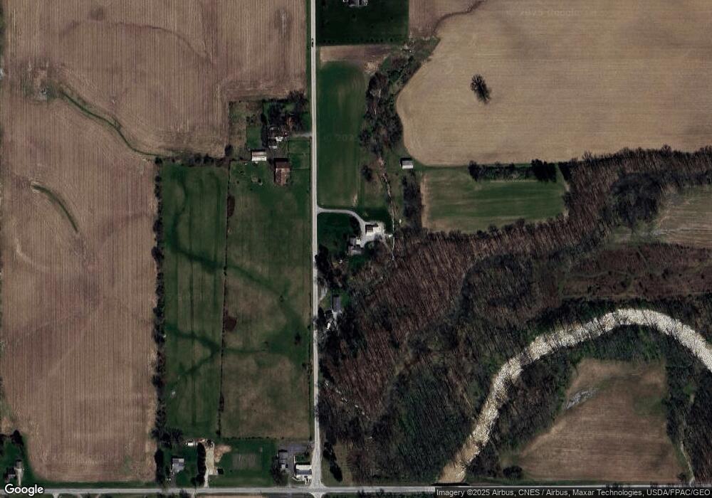
Map
Nearby Homes
- 1773 Marion-Melmore Rd
- 3056 Mccracken Rd
- 2273 Kerstetter Rd
- 2440 Wyandot Rd
- 275 Brentwood St
- 1665 Lincoln Hwy
- 130 Brentwood St
- 1123 Hillcrest Dr
- 1112 Hillcrest Dr
- 1149 Farmview Dr
- 1315 Lynne Ave
- 1555 Rosedale Ave
- 1145 Lynne Ave
- 0 Lynne Ave
- 452 Pleasant Ln
- 885 W Perry St
- 1211 S Sandusky Ave
- 900 S Spring St
- 325 W Liberty St
- 1021 S Sandusky Ave
- 0 Shupp Rd
- 2112 Shupp Rd
- 1190 Mount Zion Rd
- 2153 Shupp Rd
- 1140 Mount Zion Rd
- 1975 Shupp Rd
- 2181 Shupp Rd
- 1972 Shupp Rd
- 2200 Shupp Rd
- 2195 Shupp Rd
- 2215 Shupp Rd
- 1970 Shupp Rd
- 1104 Mount Zion Rd
- 1107 Mount Zion Rd
- 1319 Mount Zion Rd
- 1367 Mount Zion Rd
- 2261 Shupp Rd
- 1047 Mount Zion Rd
- 1003 Mount Zion Rd
- 1417 Mount Zion Rd