20878 Peoria Loop Rd Raymond, OH 43067
Estimated Value: $161,468 - $259,000
4
Beds
1
Bath
1,372
Sq Ft
$138/Sq Ft
Est. Value
About This Home
This home is located at 20878 Peoria Loop Rd, Raymond, OH 43067 and is currently estimated at $189,117, approximately $137 per square foot. 20878 Peoria Loop Rd is a home located in Union County with nearby schools including Raymond Elementary School, Creekview Intermediate Elementary School, and Bunsold Middle School.
Ownership History
Date
Name
Owned For
Owner Type
Purchase Details
Closed on
May 17, 2000
Sold by
Dale William W
Bought by
Bright Todd W
Current Estimated Value
Home Financials for this Owner
Home Financials are based on the most recent Mortgage that was taken out on this home.
Original Mortgage
$26,000
Outstanding Balance
$9,028
Interest Rate
8.21%
Mortgage Type
New Conventional
Estimated Equity
$180,089
Create a Home Valuation Report for This Property
The Home Valuation Report is an in-depth analysis detailing your home's value as well as a comparison with similar homes in the area
Home Values in the Area
Average Home Value in this Area
Purchase History
| Date | Buyer | Sale Price | Title Company |
|---|---|---|---|
| Bright Todd W | $15,600 | -- |
Source: Public Records
Mortgage History
| Date | Status | Borrower | Loan Amount |
|---|---|---|---|
| Open | Bright Todd W | $26,000 |
Source: Public Records
Tax History Compared to Growth
Tax History
| Year | Tax Paid | Tax Assessment Tax Assessment Total Assessment is a certain percentage of the fair market value that is determined by local assessors to be the total taxable value of land and additions on the property. | Land | Improvement |
|---|---|---|---|---|
| 2024 | $1,335 | $28,470 | $4,360 | $24,110 |
| 2023 | $1,335 | $28,470 | $4,360 | $24,110 |
| 2022 | $1,315 | $28,470 | $4,360 | $24,110 |
| 2021 | $1,229 | $22,790 | $3,360 | $19,430 |
| 2020 | $1,178 | $22,790 | $3,360 | $19,430 |
| 2019 | $1,211 | $22,790 | $3,360 | $19,430 |
| 2018 | $1,104 | $19,680 | $3,360 | $16,320 |
| 2017 | $1,044 | $19,680 | $3,360 | $16,320 |
| 2016 | $1,040 | $19,680 | $3,360 | $16,320 |
| 2015 | $1,001 | $17,600 | $3,360 | $14,240 |
| 2014 | $983 | $17,600 | $3,360 | $14,240 |
| 2013 | $927 | $17,600 | $3,360 | $14,240 |
Source: Public Records
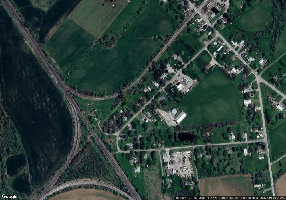
Map
Nearby Homes
- 20971 Peoria Loop Rd
- 20350 Bear Swamp Rd
- 23156 State Route 739
- 21630 Main St
- 0 Westlake-Lee Rd
- 19459 Dog Leg Rd
- 0 Benton Rd Unit Lot B 225022637
- 0 Benton Rd Unit Lot A 225022636
- 0 Powder Lick Rd Unit 1016484
- 1299 Forest Edge Dr
- 1322 Forest Edge Dr
- 0 Johnson Rd Unit 225027964
- 0 Johnson Rd Unit 222024368
- 0 Johnson Rd Unit Lot 2 222024351
- 18334 Bear Swamp Rd
- 25400 Storms Rd
- 0 Dog Leg Rd
- 24805 Rapp Dean Rd
- 24097 Lunda Rd
- 825 Kentucky Cir
- 20868 Peoria Loop Rd
- 20850 Peoria Loop Rd
- 20883 Peoria Loop Rd
- 20891 Peoria Loop Rd
- 20834 Peoria Loop Rd
- 20847 Peoria Loop Rd
- 20922 Peoria Loop Rd
- 20839 Peoria Loop Rd
- 20808 Peoria Loop Rd
- 20933 Peoria Loop Rd
- 20825 Peoria Loop Rd
- 20825 Peoria Loop Rd
- 20956 Peoria Loop Rd
- 20794 Peoria Loop Rd
- 21021 Peoria Loop Rd
- 21009 Peoria Loop Rd
- 20993 Peoria Loop Rd
- 21039 Peoria Loop Rd
- 20784 Peoria Loop Rd
- 21016 Peoria Loop Rd