2088 Bob-O-link Ln Libertyville, IL 60048
Estimated Value: $588,000 - $730,000
3
Beds
2
Baths
2,551
Sq Ft
$257/Sq Ft
Est. Value
About This Home
This home is located at 2088 Bob-O-link Ln, Libertyville, IL 60048 and is currently estimated at $656,368, approximately $257 per square foot. 2088 Bob-O-link Ln is a home located in Lake County with nearby schools including Adler Park School, Highland Middle School, and Libertyville High School.
Ownership History
Date
Name
Owned For
Owner Type
Purchase Details
Closed on
Nov 20, 2013
Sold by
Jun Andrew B and Jun Kwangae
Bought by
Jun Andrew B and Jun Kwang Ae
Current Estimated Value
Purchase Details
Closed on
Mar 15, 2006
Sold by
Buhrman William Lance and Buhrman Jeanne Suzanne
Bought by
Jun Andrew B and Jun Kwangae
Purchase Details
Closed on
Mar 31, 1995
Sold by
Miller Barney E and Miller Merry N
Bought by
Buhrham William Lance and Buhrman Jeanne Suzanne
Home Financials for this Owner
Home Financials are based on the most recent Mortgage that was taken out on this home.
Original Mortgage
$175,000
Interest Rate
8.79%
Create a Home Valuation Report for This Property
The Home Valuation Report is an in-depth analysis detailing your home's value as well as a comparison with similar homes in the area
Home Values in the Area
Average Home Value in this Area
Purchase History
| Date | Buyer | Sale Price | Title Company |
|---|---|---|---|
| Jun Andrew B | -- | None Available | |
| Jun Andrew B | $498,000 | Chicago Title Insurance Co | |
| Buhrham William Lance | $245,000 | Republic Title Company |
Source: Public Records
Mortgage History
| Date | Status | Borrower | Loan Amount |
|---|---|---|---|
| Previous Owner | Buhrham William Lance | $175,000 |
Source: Public Records
Tax History Compared to Growth
Tax History
| Year | Tax Paid | Tax Assessment Tax Assessment Total Assessment is a certain percentage of the fair market value that is determined by local assessors to be the total taxable value of land and additions on the property. | Land | Improvement |
|---|---|---|---|---|
| 2024 | $11,454 | $175,456 | $72,289 | $103,167 |
| 2023 | $11,854 | $161,830 | $66,675 | $95,155 |
| 2022 | $11,854 | $163,188 | $64,086 | $99,102 |
| 2021 | $10,483 | $147,847 | $58,061 | $89,786 |
| 2020 | $10,073 | $145,361 | $57,085 | $88,276 |
| 2019 | $9,820 | $143,979 | $56,542 | $87,437 |
| 2018 | $9,208 | $140,470 | $58,823 | $81,647 |
| 2017 | $9,050 | $136,035 | $56,966 | $79,069 |
| 2016 | $8,711 | $128,980 | $54,012 | $74,968 |
| 2015 | $8,589 | $120,553 | $50,483 | $70,070 |
| 2014 | $9,391 | $118,936 | $49,806 | $69,130 |
| 2012 | $10,083 | $131,835 | $55,208 | $76,627 |
Source: Public Records
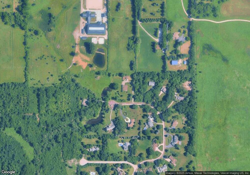
Map
Nearby Homes
- 1960 Pinehurst Ct
- 1917 Halifax St
- 1834 Torrey Pkwy Unit 103
- 1708 Park Crest Ct
- 1801 Torrey Pkwy
- 32381 N Forest Dr
- 178 Brookhill Rd
- 1304 Lingonberry Ct
- 1544 Portia Rd
- 1607 Mulberry Dr
- 1509 Eric Ln
- 1338 Trinity Place
- 1512 Sunnyview Rd
- 107 Brookside Ct
- 1935 Lynn Cir
- 18256 W Il Route 120
- 1617 Albany St
- Halston Plan at Liberty Junction
- Highwood Plan at Liberty Junction
- Jayton Plan at Liberty Junction
- 2088 Bob o Link Ln
- 2088 Bob o Link Ln
- 31207 N Bob o Link Ln
- 31162 N Bob o Link Ln
- 31193 N Bob o Link Ln
- 2061 Bob o Link Ln
- 2098 Bob o Link Ln
- 31140 N Bob o Link Ln
- 18349 W Casey Rd
- 31175 N Bob o Link Ln
- 18416 W Wood Hollow Ln
- 31098 N Bob o Link Ln
- 31155 N Bob o Link Ln
- 2031 Bob o Link Ln
- 18490 W Wood Hollow Ln
- 18277 W Casey Rd
- 18267 W Casey Rd
- 2038 Bob o Link Ln
- 2008 Bob o Link Ln
- 2008 Bob-O-link Ln