Estimated Value: $215,521 - $227,000
--
Bed
2
Baths
1,629
Sq Ft
$136/Sq Ft
Est. Value
About This Home
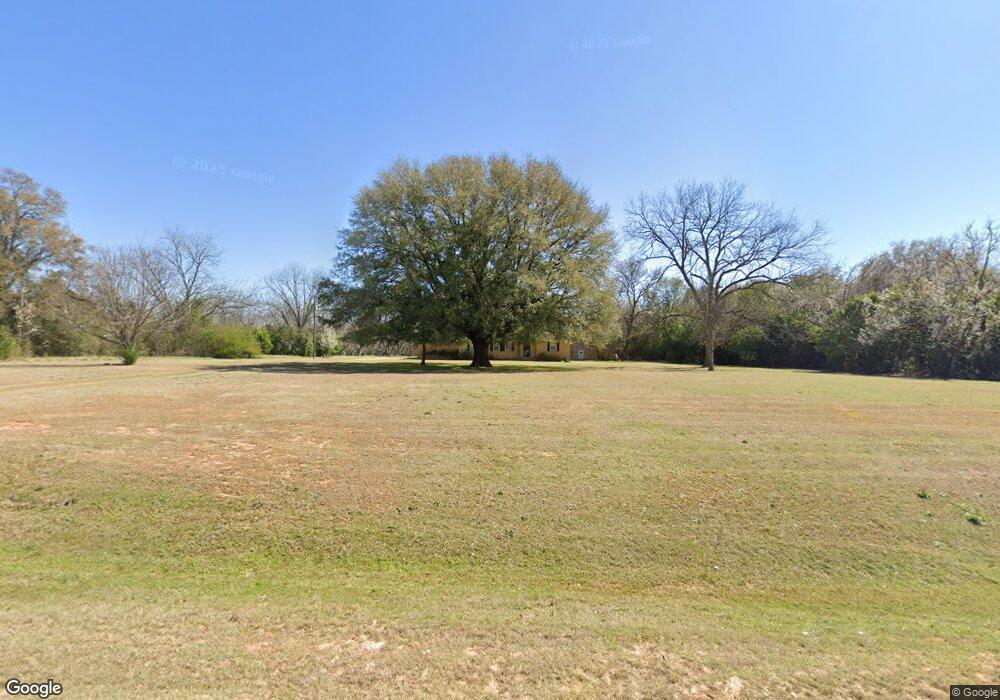
This home is located at 2088 Us Highway 41 S, Perry, GA 31069 and is currently estimated at $220,880, approximately $135 per square foot. 2088 Us Highway 41 S is a home located in Houston County with nearby schools including Tucker Elementary School, Perry Middle School, and Perry High School.
Ownership History
Date
Name
Owned For
Owner Type
Purchase Details
Closed on
Jan 8, 2021
Sold by
Todd Kathy F and Britt John William
Bought by
Little John Gregory and Cawthorn Julie
Current Estimated Value
Purchase Details
Closed on
Nov 11, 2020
Sold by
Todd Kathy F
Bought by
Todd Kathy F and Britt John William
Purchase Details
Closed on
May 3, 1996
Sold by
Brown Patricia Ann Etal
Bought by
Little Rufus Clarence and Mary Kather
Purchase Details
Closed on
Jan 31, 1996
Sold by
Cawthon Carolyn M Estate
Bought by
Brown Patricia Ann Etal
Purchase Details
Closed on
Mar 30, 1993
Sold by
Cawthon James T Estate
Bought by
Cawthon Carolyn M
Purchase Details
Closed on
Jul 24, 1967
Sold by
Cawthon Julian P
Bought by
Cawthon J T
Create a Home Valuation Report for This Property
The Home Valuation Report is an in-depth analysis detailing your home's value as well as a comparison with similar homes in the area
Home Values in the Area
Average Home Value in this Area
Purchase History
| Date | Buyer | Sale Price | Title Company |
|---|---|---|---|
| Little John Gregory | -- | None Available | |
| Todd Kathy F | -- | None Available | |
| Little Rufus Clarence | $75,000 | -- | |
| Brown Patricia Ann Etal | -- | -- | |
| Cawthon Carolyn M | -- | -- | |
| Cawthon J T | -- | -- |
Source: Public Records
Tax History Compared to Growth
Tax History
| Year | Tax Paid | Tax Assessment Tax Assessment Total Assessment is a certain percentage of the fair market value that is determined by local assessors to be the total taxable value of land and additions on the property. | Land | Improvement |
|---|---|---|---|---|
| 2024 | $1,541 | $64,440 | $16,880 | $47,560 |
| 2023 | $1,352 | $55,920 | $16,600 | $39,320 |
| 2022 | $1,262 | $52,200 | $16,600 | $35,600 |
| 2021 | $972 | $40,000 | $8,200 | $31,800 |
| 2020 | $950 | $38,840 | $7,640 | $31,200 |
| 2019 | $821 | $35,640 | $7,640 | $28,000 |
| 2018 | $821 | $35,640 | $7,640 | $28,000 |
| 2017 | $822 | $35,640 | $7,640 | $28,000 |
| 2016 | $823 | $35,640 | $7,640 | $28,000 |
| 2015 | $825 | $35,640 | $7,640 | $28,000 |
| 2014 | -- | $35,640 | $7,640 | $28,000 |
| 2013 | -- | $35,760 | $7,640 | $28,120 |
Source: Public Records
Map
Nearby Homes
- 2088 U S 41
- 2111 Us Highway 41 S
- Pearson Plan at The Gables at Agricultural Village
- 116 Kenmore Cir
- 120 Kenmore Cir
- 122 Kenmore Cir
- 118 Kenmore Cir
- 209 Mcewen Ct
- 305 Rusty Plow Ln
- 305 Rusty Plow Ln Unit 13
- 304 Rusty Plow Ln
- 324 Rusty Plow Ln
- 309 Rusty Plow Ln Unit 15
- 309 Rusty Plow Ln
- 313 Rusty Plow Ln Unit 17
- 310 Rusty Plow Ln Unit 19
- 306 Rusty Plow Ln
- 2097 Us Highway 41 S
- 2077 U S 41
- 209 Dennard Dr
- 2108 Us Highway 41 S
- 210 Dennard Dr
- 207 Dennard Dr
- 208 Dennard Dr
- 205 Dennard Dr
- 206 Dennard Dr
- 203 Dennard Dr
- 204 Dennard Dr
- 104 Watts Dr
- 106 Watts Dr
- 102 Watts Dr
- 106 Watts Dr
- 108 Watts Dr
- 110 Watts Dr
- 202 Dennard Dr
- 200 Dennard Dr
- 0 Dennard Dr Unit 7426739