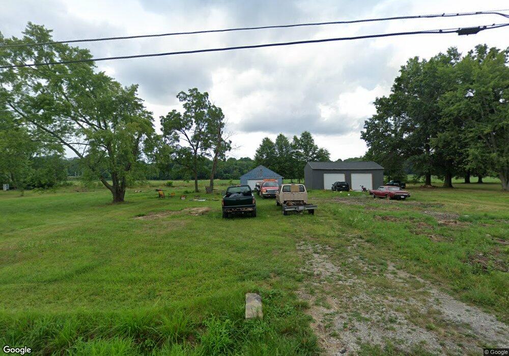
20882 Oak St Alliance, OH 44601
Estimated Value: $30,000 - $137,000
--
Bed
1
Bath
--
Sq Ft
10,454
Sq Ft Lot
About This Home
This home is located at 20882 Oak St, Alliance, OH 44601 and is currently estimated at $66,444. 20882 Oak St is a home located in Mahoning County with nearby schools including West Branch Middle School, West Branch Early Learning Center, and West Branch High School.
Ownership History
Date
Name
Owned For
Owner Type
Purchase Details
Closed on
May 23, 2023
Bought by
Bryant Logan
Current Estimated Value
Purchase Details
Closed on
May 17, 2023
Sold by
Stillion Paul A
Bought by
Bryant Logan
Purchase Details
Closed on
Jun 4, 2020
Sold by
Kearns Sherry L and Watson Sherry L
Bought by
Stillion Paul A
Purchase Details
Closed on
Jun 19, 1978
Bought by
Watson Richard L and S L
Create a Home Valuation Report for This Property
The Home Valuation Report is an in-depth analysis detailing your home's value as well as a comparison with similar homes in the area
Home Values in the Area
Average Home Value in this Area
Purchase History
| Date | Buyer | Sale Price | Title Company |
|---|---|---|---|
| Bryant Logan | $25,000 | -- | |
| Bryant Logan | $25,000 | None Listed On Document | |
| Bryant Logan | $25,000 | None Listed On Document | |
| Stillion Paul A | $12,000 | None Available | |
| Watson Richard L | -- | -- |
Source: Public Records
Tax History Compared to Growth
Tax History
| Year | Tax Paid | Tax Assessment Tax Assessment Total Assessment is a certain percentage of the fair market value that is determined by local assessors to be the total taxable value of land and additions on the property. | Land | Improvement |
|---|---|---|---|---|
| 2024 | $178 | $4,730 | $1,510 | $3,220 |
| 2023 | $287 | $4,730 | $1,510 | $3,220 |
| 2022 | $183 | $4,470 | $1,290 | $3,180 |
| 2021 | $184 | $4,470 | $1,290 | $3,180 |
| 2020 | $184 | $4,470 | $1,290 | $3,180 |
| 2019 | $179 | $4,060 | $1,290 | $2,770 |
| 2018 | $178 | $4,060 | $1,290 | $2,770 |
| 2017 | $175 | $4,060 | $1,290 | $2,770 |
| 2016 | $203 | $4,740 | $760 | $3,980 |
| 2015 | $197 | $4,740 | $760 | $3,980 |
| 2014 | $198 | $4,740 | $760 | $3,980 |
| 2013 | $196 | $4,740 | $760 | $3,980 |
Source: Public Records
Map
Nearby Homes
- 1235 Elm St
- 670 W Maryland Ave
- 625 W Maryland Ave
- 495 W Texas Ave
- 540 W Oregon Ave Unit 1/2
- 472 W New York Ave
- 24893 Us-62
- 0 W Maryland Ave
- 145 N 17th St
- 406 W Indiana Ave
- 325 W Maryland Ave
- 286 W Maryland Ave
- 104 W Carolina Ave
- 240 S 15th St
- 0 16th St Unit 5159092
- 216 E Carolina Ave
- 125 E Indiana Ave
- 154 W Nevada Ave Unit 154
- 756 N 15th St
- 186 E Michigan Ave
- 20874 Lake Park Blvd
- 20928 Oak St
- 20826 Oak St
- 20931 Oak St
- 20806 Oak St
- 20954 Lake Park Blvd
- 20784 Oak St
- 20818 Lake Park Blvd
- 14023 Bandy Rd
- 662 S Bandy Rd
- 14047 Bandy Rd
- 20764 Oak St
- 20792 Lake Park Blvd
- 21041 Factory St
- 13950 Bandy Rd
- 20760 Lake Park Blvd
- 14093 Bandy Rd
- 20741 Oak St
- 21012 Lake Park Blvd
- 21041 Oak St