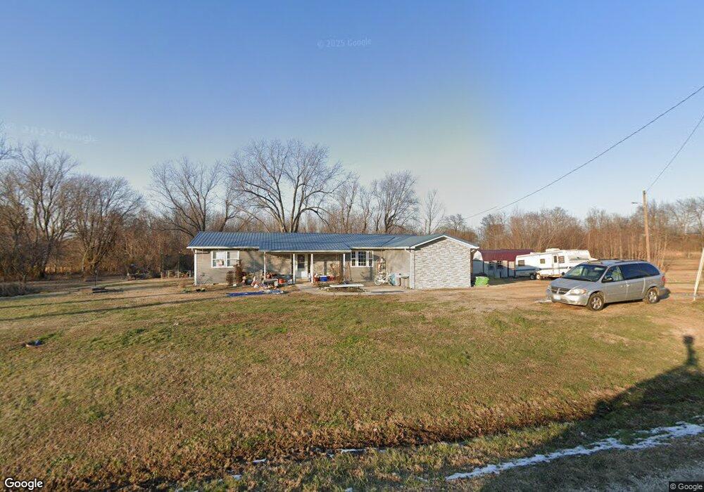
20887 State Highway Ab Bloomfield, MO 63825
Estimated Value: $91,000 - $168,184
3
Beds
1
Bath
1,372
Sq Ft
$104/Sq Ft
Est. Value
About This Home
This home is located at 20887 State Highway Ab, Bloomfield, MO 63825 and is currently estimated at $142,061, approximately $103 per square foot. 20887 State Highway Ab is a home located in Stoddard County with nearby schools including Bloomfield Elementary School, Bloomfield Middle School, and Bloomfield High School.
Ownership History
Date
Name
Owned For
Owner Type
Purchase Details
Closed on
May 31, 2023
Sold by
Sandage Betty
Bought by
Pennebaker Eric
Current Estimated Value
Home Financials for this Owner
Home Financials are based on the most recent Mortgage that was taken out on this home.
Original Mortgage
$147,283
Outstanding Balance
$143,373
Interest Rate
6.43%
Mortgage Type
Construction
Estimated Equity
-$1,312
Create a Home Valuation Report for This Property
The Home Valuation Report is an in-depth analysis detailing your home's value as well as a comparison with similar homes in the area
Purchase History
| Date | Buyer | Sale Price | Title Company |
|---|---|---|---|
| Pennebaker Eric | $148,755 | Alliance Title Co |
Source: Public Records
Mortgage History
| Date | Status | Borrower | Loan Amount |
|---|---|---|---|
| Open | Pennebaker Eric | $147,283 |
Source: Public Records
Tax History
| Year | Tax Paid | Tax Assessment Tax Assessment Total Assessment is a certain percentage of the fair market value that is determined by local assessors to be the total taxable value of land and additions on the property. | Land | Improvement |
|---|---|---|---|---|
| 2025 | $617 | $16,853 | $0 | $0 |
| 2024 | $6 | $13,167 | $0 | $0 |
| 2023 | $617 | $13,167 | $0 | $0 |
| 2022 | $586 | $12,502 | $0 | $0 |
| 2021 | $586 | $12,502 | $0 | $0 |
| 2020 | $543 | $11,476 | $0 | $0 |
| 2019 | $543 | $11,533 | $0 | $0 |
| 2018 | $540 | $11,476 | $0 | $0 |
| 2016 | $531 | $11,286 | $0 | $0 |
| 2015 | -- | $11,286 | $0 | $0 |
| 2014 | -- | $11,141 | $0 | $0 |
| 2013 | -- | $216 | $0 | $0 |
Source: Public Records
Map
Nearby Homes
- 22348 County Road 503
- 25097 State Highway 25
- 23847 Friar Tuck Ct
- 0 E Hwy Unit MIS26003606
- 202 Winfield St
- 610 N Spring St
- 301 Cape Rd
- 709 Brown St
- 404 Locust St
- 301 W Shawnee St
- 17800 County Road 527
- 0 Tract 5 County Road 260 262
- 0 Tract 3 County Road 260 262
- 0 Tract 2 County Road 260 262
- 0 Tract 4 County Road 260 262
- 24898 State Highway Ab
- 0 County Road 237
- 25301 State Highway Ab
- 000 State Highway K
- 16314 State Highway K Unit SY
- 20993 State Highway Ab
- 20763 State Highway Ab
- 20878 State Highway Ab
- 22243 County Road 503
- 20251 State Highway Ab
- 20251 State Highway Ab
- 22476 County Road 503
- 22083 County Road 525
- 21213 State Highway Ab
- 21256 State Highway Ab
- 21257 State Highway Ab
- 21997 County Road 525
- 22593 County Road 503
- 21289 State Highway Ab
- 21298 State Highway Ab
- 22288 County Road 525
- 20510 State Highway Ab
- 22412 County Road 525
- 21371 State Highway Ab
- 21366 State Highway Ab
Your Personal Tour Guide
Ask me questions while you tour the home.