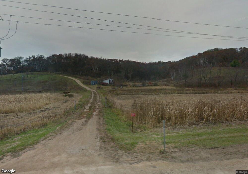
20888 State Highway 71 Norwalk, WI 54648
Estimated Value: $116,703 - $276,000
--
Bed
--
Bath
--
Sq Ft
9.96
Acres
About This Home
This home is located at 20888 State Highway 71, Norwalk, WI 54648 and is currently estimated at $225,176. 20888 State Highway 71 is a home with nearby schools including Norwalk-Ontario-Wilton Elementary School and Brookwood High School.
Ownership History
Date
Name
Owned For
Owner Type
Purchase Details
Closed on
Dec 23, 2024
Sold by
Dennis E Mccarty Estate
Bought by
Hughes Michael S and Hughes Lynette B.
Current Estimated Value
Purchase Details
Closed on
Jul 11, 2018
Sold by
Neumann Charles C and Neumann James N
Bought by
Neumann Andrew J
Home Financials for this Owner
Home Financials are based on the most recent Mortgage that was taken out on this home.
Original Mortgage
$139,000
Interest Rate
4.5%
Mortgage Type
New Conventional
Create a Home Valuation Report for This Property
The Home Valuation Report is an in-depth analysis detailing your home's value as well as a comparison with similar homes in the area
Home Values in the Area
Average Home Value in this Area
Purchase History
| Date | Buyer | Sale Price | Title Company |
|---|---|---|---|
| Hughes Michael S | $255,000 | Knight Barry Title | |
| Neumann Andrew J | $310,000 | None Available |
Source: Public Records
Mortgage History
| Date | Status | Borrower | Loan Amount |
|---|---|---|---|
| Previous Owner | Neumann Andrew J | $139,000 |
Source: Public Records
Tax History Compared to Growth
Tax History
| Year | Tax Paid | Tax Assessment Tax Assessment Total Assessment is a certain percentage of the fair market value that is determined by local assessors to be the total taxable value of land and additions on the property. | Land | Improvement |
|---|---|---|---|---|
| 2024 | $222 | $13,800 | $13,300 | $500 |
| 2023 | $212 | $13,800 | $13,300 | $500 |
| 2022 | $185 | $13,700 | $13,200 | $500 |
| 2021 | $174 | $13,700 | $13,200 | $500 |
| 2020 | $151 | $10,100 | $8,500 | $1,600 |
| 2019 | $128 | $9,100 | $7,500 | $1,600 |
| 2018 | $132 | $9,100 | $7,500 | $1,600 |
| 2017 | $135 | $9,100 | $7,500 | $1,600 |
| 2016 | $132 | $9,100 | $7,500 | $1,600 |
| 2015 | $219 | $9,100 | $7,500 | $1,600 |
| 2014 | $127 | $9,100 | $7,500 | $1,600 |
| 2011 | $123 | $9,100 | $7,500 | $1,600 |
Source: Public Records
Map
Nearby Homes
- TBD Mead Ave
- 22855 Kettle Rd
- 108 E South St
- 205 S Water St
- 21422 Mead Ave
- 112 S Water St
- 1101 Walker St
- 106 N Church St
- 400 W Center St
- 17326 Wisconsin 71
- 107 N West St
- 910 Water St
- 605 East St
- 17499 Kendall Ave
- 21640 Nordale Ave
- TBD Kayak Rd
- 17595 Interior Rd
- 19117 State Highway 131
- 18380 Iowa Rd
- 29589 Orchard Rd
- 23588 Liberty Rd
- 23825 Liberty Rd
- 21158 State Highway 71
- 20880 State Highway 71
- 20889 Lighthouse Ave
- 23784 Lignite Rd
- 20626 Lighthouse Ave
- 23613 Keats Rd
- 23795 Liberia Rd
- 23957 Lignite Rd
- 23506 Keats Rd
- 23215 Keats Rd
- 21375 Lexicon Ave
- 88.24 Ac Keats Rd
- 88.24 Acres Keats Rd
- 20240 State Highway 71
- 22910 Keats Rd
- 0 Keats Rd Unit 1605648
- 0 Keats Rd Unit 1687058
- 27.79Ac Keats Rd