2089 Highway 201 Adrian, OR 97901
Estimated Value: $396,670
2
Beds
3
Baths
1,711
Sq Ft
$232/Sq Ft
Est. Value
About This Home
This home is located at 2089 Highway 201, Adrian, OR 97901 and is currently estimated at $396,670, approximately $231 per square foot. 2089 Highway 201 is a home located in Malheur County with nearby schools including Adrian Elementary School and Adrian High School.
Ownership History
Date
Name
Owned For
Owner Type
Purchase Details
Closed on
Jun 17, 2009
Sold by
Ray Gene and Ray Karen
Bought by
Purnell Kevin D and Purnell Heidi
Current Estimated Value
Home Financials for this Owner
Home Financials are based on the most recent Mortgage that was taken out on this home.
Original Mortgage
$150,000
Outstanding Balance
$95,027
Interest Rate
4.82%
Mortgage Type
New Conventional
Estimated Equity
$301,643
Create a Home Valuation Report for This Property
The Home Valuation Report is an in-depth analysis detailing your home's value as well as a comparison with similar homes in the area
Home Values in the Area
Average Home Value in this Area
Purchase History
| Date | Buyer | Sale Price | Title Company |
|---|---|---|---|
| Purnell Kevin D | $190,000 | -- |
Source: Public Records
Mortgage History
| Date | Status | Borrower | Loan Amount |
|---|---|---|---|
| Open | Purnell Kevin D | $150,000 |
Source: Public Records
Tax History Compared to Growth
Tax History
| Year | Tax Paid | Tax Assessment Tax Assessment Total Assessment is a certain percentage of the fair market value that is determined by local assessors to be the total taxable value of land and additions on the property. | Land | Improvement |
|---|---|---|---|---|
| 2024 | $3,111 | $213,121 | $70,143 | $142,978 |
| 2023 | $2,906 | $206,914 | $63,133 | $143,781 |
| 2022 | $2,851 | $200,888 | $39,259 | $161,629 |
| 2021 | $2,944 | $195,037 | $38,115 | $156,922 |
| 2020 | $2,878 | $189,357 | $45,443 | $143,914 |
| 2019 | $2,844 | $183,842 | $44,119 | $139,723 |
| 2018 | $2,788 | $178,488 | $42,834 | $135,654 |
| 2017 | $2,532 | $173,290 | $44,070 | $129,220 |
| 2016 | $2,620 | $168,243 | $42,178 | $126,065 |
| 2015 | $2,446 | $161,800 | $48,890 | $112,910 |
| 2014 | $2,434 | $160,690 | $48,890 | $111,800 |
Source: Public Records
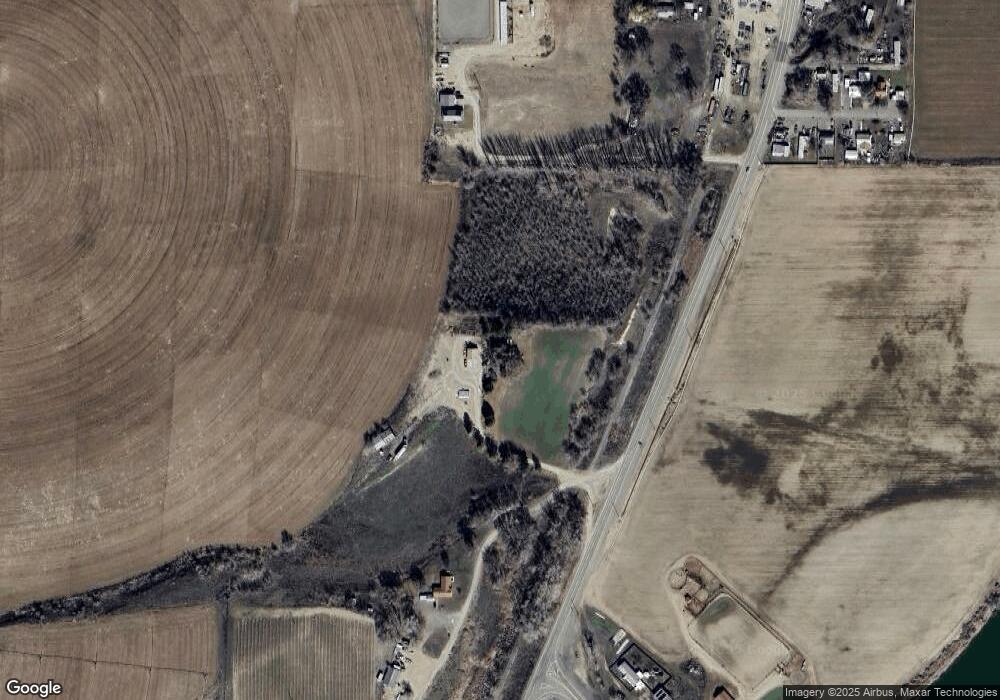
Map
Nearby Homes
- TBD Mendiola Rd
- 887 Overstreet Rd
- 933 Overstreet Rd
- TBD Clydesdale Lane Lot 6b
- TBD Drum Lane Lot 5a
- 646 Overstreet Rd
- TBD
- TBD
- TBD Drum Lane Lot 3a
- Lot 1A Drum Ln
- 26635 Pioneer Ln
- 830 Snively Gulch Rd
- TBD Snively Gulch Rd
- 4.8acTBD Chips Ln
- 26670 Pioneer Ln
- 26737 Chips Ln
- 26915 Chips Ln
- 31166 Menhart Lane (Private Drive)
- TBD Kygar Rd
- 2555 Jefferson Dr
- 0 Hwy 201 Unit 98435519
- 0 Hwy 201 Unit 98394545
- TBD Highway 201
- 2085 Highway 201
- 786 Roswell Rd
- 782 Roswell Rd
- 782 Roswell Rd
- 107 Parker Ln
- 108 Parker Ln
- 783 Lobo Dr
- 781 Lobo Dr
- 2079 Highway 201
- 207 Washington St
- 100 Emerald Slope Rd
- 919 Emerald Slope Rd
- 201 Washington St
- 601 2nd St
- 202 Well Rd
- 505 Holly Ln
- TBD Hwy 201