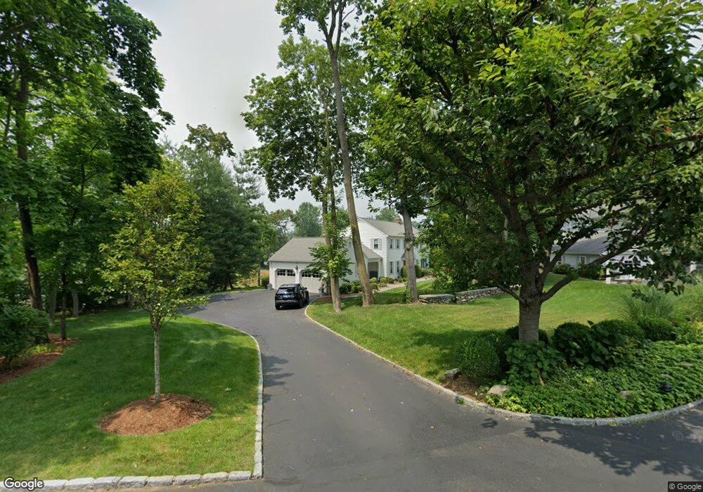
2089 Post Rd Darien, CT 06820
Estimated Value: $2,218,000 - $3,077,000
5
Beds
4
Baths
3,469
Sq Ft
$755/Sq Ft
Est. Value
About This Home
This home is located at 2089 Post Rd, Darien, CT 06820 and is currently estimated at $2,619,983, approximately $755 per square foot. 2089 Post Rd is a home located in Fairfield County with nearby schools including Hindley Elementary School, Middlesex Middle School, and Darien High School.
Ownership History
Date
Name
Owned For
Owner Type
Purchase Details
Closed on
Dec 6, 2023
Sold by
Lochtefeld Thomas A and Lochtefeld Nancy H
Bought by
Sheridan Patrick and Sheridan Katherine
Current Estimated Value
Purchase Details
Closed on
Jun 12, 1995
Sold by
Treanklee Craig and Treanklee Maureen
Bought by
Lochtefeld Thomas and Lochtefeld Nancy
Purchase Details
Closed on
Mar 18, 1991
Sold by
Truitt Russell and Truitt Bernice
Bought by
Hill Bevan and Hill Kathleen
Create a Home Valuation Report for This Property
The Home Valuation Report is an in-depth analysis detailing your home's value as well as a comparison with similar homes in the area
Home Values in the Area
Average Home Value in this Area
Purchase History
| Date | Buyer | Sale Price | Title Company |
|---|---|---|---|
| Sheridan Patrick | $2,115,000 | None Available | |
| Lochtefeld Thomas | $565,000 | -- | |
| Lochtefeld Thomas | $565,000 | -- | |
| Hill Bevan | $425,000 | -- | |
| Hill Bevan | $425,000 | -- |
Source: Public Records
Mortgage History
| Date | Status | Borrower | Loan Amount |
|---|---|---|---|
| Previous Owner | Hill Bevan | $950,000 | |
| Previous Owner | Hill Bevan | $950,000 | |
| Previous Owner | Hill Bevan | $417,000 |
Source: Public Records
Tax History
| Year | Tax Paid | Tax Assessment Tax Assessment Total Assessment is a certain percentage of the fair market value that is determined by local assessors to be the total taxable value of land and additions on the property. | Land | Improvement |
|---|---|---|---|---|
| 2025 | $18,139 | $1,171,800 | $440,020 | $731,780 |
| 2024 | $17,214 | $1,171,800 | $440,020 | $731,780 |
| 2023 | $16,802 | $954,100 | $314,300 | $639,800 |
| 2022 | $16,439 | $954,100 | $314,300 | $639,800 |
| 2021 | $16,067 | $954,100 | $314,300 | $639,800 |
| 2020 | $15,609 | $954,100 | $314,300 | $639,800 |
| 2019 | $15,714 | $954,100 | $314,300 | $639,800 |
| 2018 | $15,551 | $967,120 | $327,110 | $640,010 |
| 2017 | $15,629 | $967,120 | $327,110 | $640,010 |
| 2016 | $15,251 | $967,120 | $327,110 | $640,010 |
| 2015 | $14,845 | $967,120 | $327,110 | $640,010 |
| 2014 | $14,516 | $967,120 | $327,110 | $640,010 |
Source: Public Records
Map
Nearby Homes
- 25 Patricia Ln
- 43 Dubois St
- 19 Thomasina Ln
- 3 Salt Box Ln E
- 20 Outlook Dr
- 32 Relihan Rd
- 66 Stanton Rd
- 12 Walmsley Rd
- 29 Walmsley Rd
- 25 Hillside Ave
- 166 Hollow Tree Ridge Rd
- 167 Hollow Tree Ridge Rd
- 11 Patton Dr
- 16 Fairfield Ave
- 15 Charles St
- 29 Waterbury Ave
- 7 Raiders Ln
- 24 King St
- 25 Albin Rd
- 33 Dora St
Your Personal Tour Guide
Ask me questions while you tour the home.