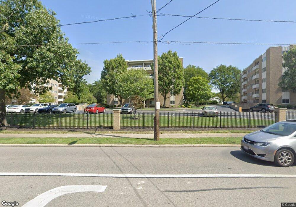
2089 Wooster Rd Unit C35 Rocky River, OH 44116
Estimated Value: $132,000 - $139,000
2
Beds
2
Baths
978
Sq Ft
$139/Sq Ft
Est. Value
About This Home
This home is located at 2089 Wooster Rd Unit C35, Rocky River, OH 44116 and is currently estimated at $135,894, approximately $138 per square foot. 2089 Wooster Rd Unit C35 is a home located in Cuyahoga County with nearby schools including Kensington Intermediate Elementary School, Goldwood Primary Elementary School, and Rocky River Middle School.
Ownership History
Date
Name
Owned For
Owner Type
Purchase Details
Closed on
Apr 23, 2002
Sold by
Mcclain Bradley J and Mcclain Cathleen A
Bought by
Banko Janet
Current Estimated Value
Purchase Details
Closed on
Jul 24, 1996
Sold by
Est John C Brown
Bought by
Mcclain Bradley J and Mcclain Cathleen A
Home Financials for this Owner
Home Financials are based on the most recent Mortgage that was taken out on this home.
Original Mortgage
$50,000
Interest Rate
8.43%
Mortgage Type
New Conventional
Purchase Details
Closed on
Mar 27, 1992
Sold by
Brown Janice E
Bought by
Brown John C
Purchase Details
Closed on
Nov 18, 1983
Sold by
Brown Janis E
Bought by
Brown Janice E
Purchase Details
Closed on
Jan 1, 1978
Bought by
Brown Janis E
Create a Home Valuation Report for This Property
The Home Valuation Report is an in-depth analysis detailing your home's value as well as a comparison with similar homes in the area
Home Values in the Area
Average Home Value in this Area
Purchase History
| Date | Buyer | Sale Price | Title Company |
|---|---|---|---|
| Banko Janet | $76,000 | Enterprise Title Agency Inc | |
| Mcclain Bradley J | $68,500 | -- | |
| Brown John C | -- | -- | |
| Brown Janice E | -- | -- | |
| Brown Janis E | -- | -- |
Source: Public Records
Mortgage History
| Date | Status | Borrower | Loan Amount |
|---|---|---|---|
| Previous Owner | Mcclain Bradley J | $50,000 |
Source: Public Records
Tax History Compared to Growth
Tax History
| Year | Tax Paid | Tax Assessment Tax Assessment Total Assessment is a certain percentage of the fair market value that is determined by local assessors to be the total taxable value of land and additions on the property. | Land | Improvement |
|---|---|---|---|---|
| 2024 | $1,912 | $45,780 | $4,060 | $41,720 |
| 2023 | $1,176 | $26,920 | $2,730 | $24,190 |
| 2022 | $1,164 | $26,920 | $2,730 | $24,190 |
| 2021 | $1,014 | $26,920 | $2,730 | $24,190 |
| 2020 | $754 | $19,780 | $2,000 | $17,780 |
| 2019 | $730 | $56,500 | $5,700 | $50,800 |
| 2018 | $363 | $19,780 | $2,000 | $17,780 |
| 2017 | $592 | $16,660 | $1,680 | $14,980 |
| 2016 | $576 | $16,660 | $1,680 | $14,980 |
| 2015 | $577 | $16,660 | $1,680 | $14,980 |
| 2014 | $1,029 | $22,230 | $2,240 | $19,990 |
Source: Public Records
Map
Nearby Homes
- 2039 Wooster Rd Unit D51
- 2159 Wooster Rd Unit 14
- 18820 High Pkwy
- 19712 Laurel Ave
- 18950 Rockcliff Dr
- 19689 Purnell Ave
- 1422 Gridley St
- 1744 Lakeview Ave
- 18501 Hilliard Blvd Unit A1
- 18501 Hilliard Blvd Unit 608
- 19000 Lake Rd Unit 621
- 19000 Lake Rd Unit 730
- 1464 Riverside Dr
- 505 Beachcliff Row Dr
- 416 Riverdale Dr
- 0 Riverdale Dr Unit 5078145
- 0 Riverdale Dr
- 0 Edanola Ave
- 19204 Frazier Dr
- 387 S Island Dr
- 2109 Wooster Rd Unit 37
- 2109 Wooster Rd Unit 45
- 2039 Wooster Rd Unit 36D
- 2039 Wooster Rd Unit D35
- 2109 Wooster Rd Unit B28
- 2109 Wooster Rd Unit B35
- 2039 Wooster Rd Unit D53
- 2039 Wooster Rd Unit 41
- 2039 Wooster Rd Unit 43
- 2109 Wooster Rd Unit B41
- 2039 Wooster Rd Unit D12
- 2089 Wooster Rd Unit C47
- 2109 Wooster Rd Unit B32
- 2039 Wooster Rd Unit D28
- 2089 Wooster Rd Unit C34
- 2039 Wooster Rd Unit D32
- 2089 Wooster Rd Unit C15
- 2039 Wooster Rd Unit D47
- 2039 Wooster Rd Unit D52
- 2089 Wooster Rd Unit C32