20899 Route 6 Towanda, PA 18848
Estimated Value: $185,000 - $230,000
2
Beds
3
Baths
--
Sq Ft
5.42
Acres Lot
About This Home
This home is located at 20899 Route 6, Towanda, PA 18848 and is currently estimated at $200,173. 20899 Route 6 is a home with nearby schools including W.R. Croman Elementary School and Troy Area Junior/Senior High School.
Ownership History
Date
Name
Owned For
Owner Type
Purchase Details
Closed on
Jan 6, 2021
Sold by
Burgess Ileen Z and Dannelley Ileen Z
Bought by
Meeks Julie
Current Estimated Value
Purchase Details
Closed on
Jun 18, 2008
Sold by
Burgess Dan A and Burgess Ileen Z
Bought by
Howard Charles D
Home Financials for this Owner
Home Financials are based on the most recent Mortgage that was taken out on this home.
Original Mortgage
$39,900
Interest Rate
6.01%
Mortgage Type
Purchase Money Mortgage
Create a Home Valuation Report for This Property
The Home Valuation Report is an in-depth analysis detailing your home's value as well as a comparison with similar homes in the area
Purchase History
We collect this data history from publicly available records. To have your information removed, we recommend requesting removal directly through your county’s website.
| Date | Buyer | Sale Price | Title Company |
|---|---|---|---|
| Meeks Julie | $150,000 | None Available | |
| Howard Charles D | $55,000 | None Available |
Source: Public Records
Mortgage History
We collect this data history from publicly available records. To have your information removed, we recommend requesting removal directly through your county’s website.
| Date | Status | Borrower | Loan Amount |
|---|---|---|---|
| Previous Owner | Howard Charles D | $39,900 |
Source: Public Records
Tax History
| Year | Tax Paid | Tax Assessment Tax Assessment Total Assessment is a certain percentage of the fair market value that is determined by local assessors to be the total taxable value of land and additions on the property. | Land | Improvement |
|---|---|---|---|---|
| 2026 | $2,247 | $34,250 | $0 | $0 |
| 2025 | $2,127 | $34,250 | $0 | $0 |
| 2024 | $2,082 | $34,250 | $0 | $0 |
| 2023 | $2,082 | $34,250 | $0 | $0 |
| 2022 | $2,024 | $34,250 | $0 | $0 |
| 2021 | $1,993 | $34,250 | $0 | $0 |
| 2020 | $1,993 | $34,250 | $0 | $0 |
| 2019 | $1,970 | $34,250 | $0 | $0 |
| 2018 | $1,946 | $34,250 | $0 | $0 |
| 2017 | $1,900 | $34,250 | $0 | $0 |
| 2016 | -- | $34,250 | $0 | $0 |
| 2015 | -- | $34,250 | $0 | $0 |
| 2014 | $1,065 | $34,250 | $0 | $0 |
Source: Public Records
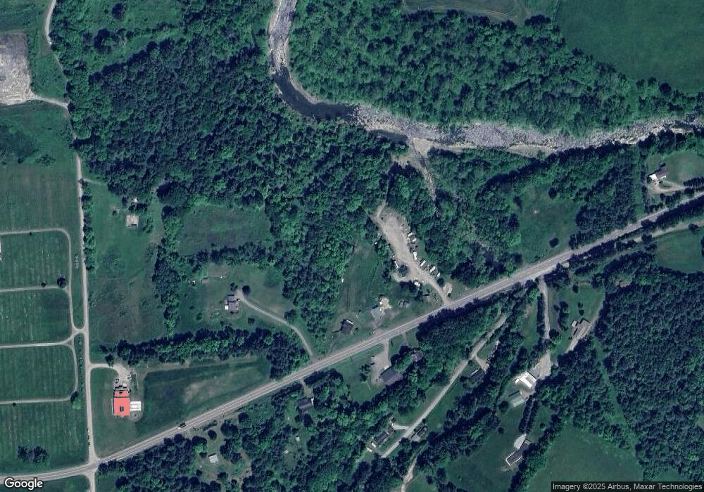
Map
Nearby Homes
- 000 Mary Mac Rd
- 33 Vista Dr
- 1053 Hornbrook Rd
- 99 Wallyworld Ln
- 1508 Sheshequin Rd
- 0 Sheshequin Rd
- 604-618 Reuter Blvd
- 12 Edgewood Dr
- 71 Hillcrest Dr
- 164 Parsonage Rd
- 81 Parsonage Rd
- 232 N 4th St
- 103 Charles St
- 34 Pratt Ave
- 22 Kingsbury Ave
- 5961 Ulster Rd
- 230 Poplar St
- 208 2nd St
- 216 Poplar St
- 204 York Ave
Your Personal Tour Guide
Ask me questions while you tour the home.