209 4th St NE Sparks, GA 31647
Estimated Value: $35,000 - $109,000
3
Beds
2
Baths
968
Sq Ft
$71/Sq Ft
Est. Value
About This Home
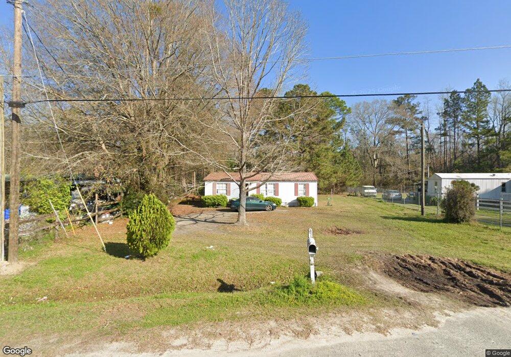
This home is located at 209 4th St NE, Sparks, GA 31647 and is currently estimated at $69,177, approximately $71 per square foot. 209 4th St NE is a home located in Cook County with nearby schools including Cook Primary School, Cook Elementary School, and Cook County Middle School.
Ownership History
Date
Name
Owned For
Owner Type
Purchase Details
Closed on
Dec 21, 2018
Sold by
Southland Properties Llc
Bought by
Blh Development Llc
Current Estimated Value
Purchase Details
Closed on
Mar 4, 2014
Sold by
Stone Richard Clinton
Bought by
Southland Properties Llc
Create a Home Valuation Report for This Property
The Home Valuation Report is an in-depth analysis detailing your home's value as well as a comparison with similar homes in the area
Home Values in the Area
Average Home Value in this Area
Purchase History
| Date | Buyer | Sale Price | Title Company |
|---|---|---|---|
| Blh Development Llc | -- | -- | |
| Southland Properties Llc | $15,000 | -- | |
| Stone Richard C | -- | -- |
Source: Public Records
Tax History Compared to Growth
Tax History
| Year | Tax Paid | Tax Assessment Tax Assessment Total Assessment is a certain percentage of the fair market value that is determined by local assessors to be the total taxable value of land and additions on the property. | Land | Improvement |
|---|---|---|---|---|
| 2024 | $90 | $2,632 | $2,632 | $0 |
| 2023 | $63 | $2,350 | $2,350 | $0 |
| 2022 | $63 | $2,350 | $2,350 | $0 |
| 2021 | $68 | $2,350 | $2,350 | $0 |
| 2020 | $68 | $2,350 | $2,350 | $0 |
| 2019 | $68 | $2,350 | $2,350 | $0 |
| 2018 | $86 | $2,350 | $2,350 | $0 |
| 2017 | $68 | $2,350 | $2,350 | $0 |
| 2015 | -- | $2,350 | $2,350 | $0 |
| 2014 | -- | $2,350 | $2,350 | $0 |
| 2013 | -- | $0 | $0 | $0 |
Source: Public Records
Map
Nearby Homes
- 103 N College St
- 284 Barrett Rd
- 105 Orchard Cir
- 2603 Dianne St
- 2302 Thomas St
- 2503 Dianne St
- 134 Brandy Ct
- 1402 Bear Creek Rd
- 1306 Bear Creek Rd
- 120 Westover Dr
- 123 Westover Dr
- 0 Barneyville Rd
- 137 Hood Dr
- 701 Gloria St
- 315 Newton Dr
- 625 Coxstill Rd
- 1377 Hutchinson Parrish Rd
- 304 E 3rd St
- 418 E 3rd St
- 4711 Highway 37
- 302 4th St
- 303 4th St
- 307 4th St
- 307 4th St
- 611 Brushy Creek Dr
- 604 Ravenwood Dr
- 602 Ravenwood Dr
- 600 Ravenwood Dr
- 612 Brushy Creek Dr
- 606 Ravenwood Dr
- 508 Ravenwood Dr
- 708 Brushy Creek Dr
- 6343 Brushy Creek Rd
- 301 3rd St
- 308 3rd St
- 704 Brushy Creek Rd
- 210 5th St
- 708 Brushy Creek Rd
- 607 Broome Ct
- 608 Broome Ct