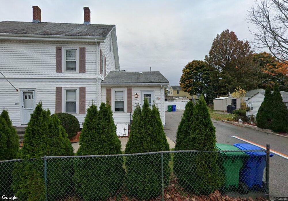
209 Adams St Unit 211 Newton, MA 02458
Nonantum NeighborhoodEstimated Value: $1,174,000 - $1,407,893
4
Beds
2
Baths
1,904
Sq Ft
$708/Sq Ft
Est. Value
About This Home
This home is located at 209 Adams St Unit 211, Newton, MA 02458 and is currently estimated at $1,347,723, approximately $707 per square foot. 209 Adams St Unit 211 is a home located in Middlesex County with nearby schools including Lincoln-Eliot Elementary School, Bigelow Middle School, and Newton North High School.
Ownership History
Date
Name
Owned For
Owner Type
Purchase Details
Closed on
Jul 8, 2025
Sold by
209 Adams St Llc
Bought by
Kiliar Eugene and Kiliar Natallia
Current Estimated Value
Home Financials for this Owner
Home Financials are based on the most recent Mortgage that was taken out on this home.
Original Mortgage
$1,120,000
Outstanding Balance
$1,115,616
Interest Rate
6.13%
Mortgage Type
New Conventional
Estimated Equity
$232,107
Purchase Details
Closed on
May 29, 2025
Sold by
209 Adams St Llc
Bought by
Stuber Matthew D and Bogosian Whitney S
Home Financials for this Owner
Home Financials are based on the most recent Mortgage that was taken out on this home.
Original Mortgage
$1,120,000
Outstanding Balance
$1,115,616
Interest Rate
6.13%
Mortgage Type
New Conventional
Estimated Equity
$232,107
Purchase Details
Closed on
May 13, 2025
Sold by
209 Adams St Llc
Bought by
Murley Richard and Murley Tina
Home Financials for this Owner
Home Financials are based on the most recent Mortgage that was taken out on this home.
Original Mortgage
$1,120,000
Outstanding Balance
$1,115,616
Interest Rate
6.13%
Mortgage Type
New Conventional
Estimated Equity
$232,107
Purchase Details
Closed on
Apr 10, 2025
Sold by
209 Adams St Llc
Bought by
Hu Dier
Purchase Details
Closed on
Apr 2, 2024
Sold by
209 Adams Street Rt and Sylvester
Bought by
209 Adams St Llc
Home Financials for this Owner
Home Financials are based on the most recent Mortgage that was taken out on this home.
Original Mortgage
$3,474,000
Interest Rate
6.94%
Mortgage Type
Commercial
Purchase Details
Closed on
Mar 15, 2018
Sold by
Leone Claire A
Bought by
209 Adams Street Rt and Caira
Create a Home Valuation Report for This Property
The Home Valuation Report is an in-depth analysis detailing your home's value as well as a comparison with similar homes in the area
Home Values in the Area
Average Home Value in this Area
Purchase History
| Date | Buyer | Sale Price | Title Company |
|---|---|---|---|
| Kiliar Eugene | $1,400,000 | -- | |
| Kiliar Eugene | $1,400,000 | -- | |
| Stuber Matthew D | $1,449,000 | None Available | |
| Stuber Matthew D | $1,449,000 | None Available | |
| Murley Richard | $1,500,000 | None Available | |
| Murley Richard | $1,500,000 | None Available | |
| Hu Dier | $1,400,000 | None Available | |
| Hu Dier | $1,400,000 | None Available | |
| 209 Adams St Llc | $1,375,000 | None Available | |
| 209 Adams St Llc | $1,375,000 | None Available | |
| 209 Adams St Llc | $1,375,000 | None Available | |
| 209 Adams Street Rt | -- | -- | |
| 209 Adams Street Rt | -- | -- | |
| 209 Adams Street Rt | -- | -- |
Source: Public Records
Mortgage History
| Date | Status | Borrower | Loan Amount |
|---|---|---|---|
| Open | Kiliar Eugene | $1,120,000 | |
| Closed | Kiliar Eugene | $1,120,000 | |
| Previous Owner | 209 Adams St Llc | $3,474,000 |
Source: Public Records
Tax History Compared to Growth
Tax History
| Year | Tax Paid | Tax Assessment Tax Assessment Total Assessment is a certain percentage of the fair market value that is determined by local assessors to be the total taxable value of land and additions on the property. | Land | Improvement |
|---|---|---|---|---|
| 2025 | $10,618 | $1,083,500 | $803,900 | $279,600 |
| 2024 | $7,348 | $752,900 | $628,100 | $124,800 |
| 2023 | $6,978 | $685,500 | $504,900 | $180,600 |
| 2022 | $6,677 | $634,700 | $467,500 | $167,200 |
| 2021 | $6,266 | $582,300 | $428,900 | $153,400 |
| 2020 | $6,079 | $582,300 | $428,900 | $153,400 |
| 2019 | $5,687 | $544,200 | $400,800 | $143,400 |
| 2018 | $5,574 | $515,200 | $375,800 | $139,400 |
| 2017 | $5,256 | $472,700 | $344,800 | $127,900 |
| 2016 | $4,936 | $433,700 | $316,300 | $117,400 |
| 2015 | $4,706 | $405,300 | $295,600 | $109,700 |
Source: Public Records
Map
Nearby Homes
- 11 Murphy Ct
- 188-190 Adams St
- 3 Ashmont Ave
- 49 Hawthorn St
- 53 West St
- 86 West St
- 158 Adams St
- 22-24 Emerald St
- 34 West St Unit A
- 12-14 Middle St
- 290 Watertown St Unit 3
- 290 Watertown St Unit 4
- 42-44 Judkins St
- 324 Adams St Unit 2
- 282 Nevada St Unit 282
- 286 Nevada St Unit 286
- 90 Waban Park Unit 2
- 77 Court St Unit 205
- 230 Bellevue St Unit 1
- 77 Pond Ave Unit 1103
- 8 Murphy Ct
- 215 Adams St Unit 217
- 215 Adams St Unit 1
- 215 Adams St
- 203 Adams St Unit 2
- 203 Adams St
- 5 Murphy Ct
- 9 Murphy Ct
- 223 Adams St
- 201 Adams St
- 212 Adams St
- 212 Adams St Unit 214-1F
- 212 Adams St Unit 9999
- 212 Adams St Unit 2
- 214 Adams St
- 212 Adams St Unit 212
- 208 Adams St Unit 210
- 210 Adams St Unit 210
- 208 Adams St Unit 208
- 210 Adams St