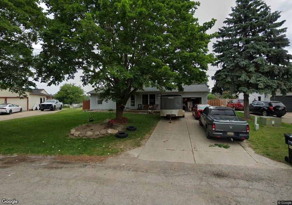
209 Anderson Dr Wayland, MI 49348
Estimated Value: $307,930 - $350,000
3
Beds
2
Baths
1,040
Sq Ft
$319/Sq Ft
Est. Value
About This Home
This home is located at 209 Anderson Dr, Wayland, MI 49348 and is currently estimated at $331,733, approximately $318 per square foot. 209 Anderson Dr is a home located in Allegan County with nearby schools including Wayland High School and St. Therese Catholic School.
Ownership History
Date
Name
Owned For
Owner Type
Purchase Details
Closed on
Sep 27, 2002
Sold by
Haynes James W and Haynes Lorraine K
Bought by
Oosterhouse Kevin M and Oosterhouse Amy J
Current Estimated Value
Purchase Details
Closed on
Sep 27, 1999
Sold by
Fletcher Richard D and Fletcher June
Bought by
Haynes James and Haynes Lorraine
Purchase Details
Closed on
Sep 13, 1999
Sold by
Fletcher Richard D and Fletcher June
Bought by
Haynes James W and Haynes Lorraine K
Create a Home Valuation Report for This Property
The Home Valuation Report is an in-depth analysis detailing your home's value as well as a comparison with similar homes in the area
Home Values in the Area
Average Home Value in this Area
Purchase History
| Date | Buyer | Sale Price | Title Company |
|---|---|---|---|
| Oosterhouse Kevin M | $120,200 | Michigan Title Company | |
| Haynes James | $104,500 | -- | |
| Haynes James W | $104,500 | -- |
Source: Public Records
Tax History Compared to Growth
Tax History
| Year | Tax Paid | Tax Assessment Tax Assessment Total Assessment is a certain percentage of the fair market value that is determined by local assessors to be the total taxable value of land and additions on the property. | Land | Improvement |
|---|---|---|---|---|
| 2025 | $4,052 | $138,500 | $14,000 | $124,500 |
| 2024 | $3,679 | $123,200 | $11,200 | $112,000 |
| 2023 | $3,679 | $128,100 | $11,400 | $116,700 |
| 2022 | $3,679 | $113,500 | $10,400 | $103,100 |
| 2020 | $3,451 | $99,200 | $10,200 | $89,000 |
| 2019 | $0 | $88,600 | $9,600 | $79,000 |
| 2018 | $0 | $60,800 | $9,600 | $51,200 |
| 2017 | $0 | $59,600 | $9,600 | $50,000 |
| 2016 | $0 | $52,700 | $9,600 | $43,100 |
| 2015 | -- | $52,700 | $9,600 | $43,100 |
| 2014 | -- | $50,700 | $11,600 | $39,100 |
| 2013 | -- | $48,200 | $11,600 | $36,600 |
Source: Public Records
Map
Nearby Homes
- 401 Anderson Dr
- 535 135th Ave
- 330 Lotz Ct
- 835 Wild Flower Ct
- 843 Wild Flower Ct
- 146 Hanlon Ct
- 110 E Sycamore St
- 905 133rd Ave
- 3282 Stonehill Ct
- 545 N Main St
- 3269 Stonehill Ct
- 219 Alpine St
- 3770 Division Ave S
- 1143 Regina Trail
- 3214 7th St
- 619 137th Ave
- 3905 Sunset View
- 3897 Division St
- 516 131st Ave
- 770 129th Ave Unit Lot 15
- 303 Anderson Dr
- 203 Anderson Dr
- 309 Anderson Dr
- 127 Anderson Dr
- 208 Anderson Dr
- 304 Anderson Dr
- 310 Anderson Dr
- 315 Anderson Dr
- 314 Anderson Dr
- 121 Anderson Dr
- 110 Standish Dr
- 321 Anderson Dr
- 650 E Superior St
- 320 Anderson Dr
- 311 Standish Dr
- 317 Standish Dr
- 548 E Superior St
- 402 Anderson Dr
- 323 Standish Dr
- 850 E Superior St