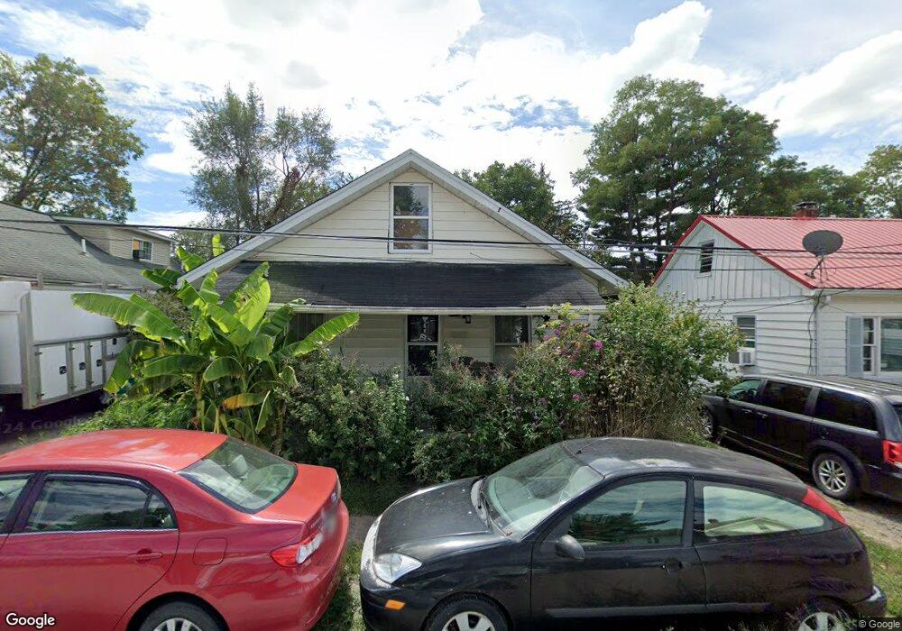
209 Andrews Ave Georgetown, OH 45121
Estimated Value: $118,156 - $168,000
2
Beds
1
Bath
1,026
Sq Ft
$135/Sq Ft
Est. Value
About This Home
This home is located at 209 Andrews Ave, Georgetown, OH 45121 and is currently estimated at $138,289, approximately $134 per square foot. 209 Andrews Ave is a home located in Brown County with nearby schools including Georgetown Elementary School and Georgetown Jr/Sr High School.
Ownership History
Date
Name
Owned For
Owner Type
Purchase Details
Closed on
Sep 30, 2005
Sold by
Henson David E and Henson Joy B
Bought by
Siemianowski John Z and Siemianowski Janet E
Current Estimated Value
Home Financials for this Owner
Home Financials are based on the most recent Mortgage that was taken out on this home.
Original Mortgage
$60,000
Outstanding Balance
$32,256
Interest Rate
5.83%
Mortgage Type
Fannie Mae Freddie Mac
Estimated Equity
$106,033
Purchase Details
Closed on
Mar 10, 1998
Sold by
Est Mary L Purdin
Bought by
Henson David E and Henson Joy B
Home Financials for this Owner
Home Financials are based on the most recent Mortgage that was taken out on this home.
Original Mortgage
$22,500
Interest Rate
7.88%
Mortgage Type
New Conventional
Create a Home Valuation Report for This Property
The Home Valuation Report is an in-depth analysis detailing your home's value as well as a comparison with similar homes in the area
Home Values in the Area
Average Home Value in this Area
Purchase History
| Date | Buyer | Sale Price | Title Company |
|---|---|---|---|
| Siemianowski John Z | $60,000 | -- | |
| Henson David E | $25,000 | -- |
Source: Public Records
Mortgage History
| Date | Status | Borrower | Loan Amount |
|---|---|---|---|
| Open | Siemianowski John Z | $60,000 | |
| Closed | Henson David E | $22,500 |
Source: Public Records
Tax History Compared to Growth
Tax History
| Year | Tax Paid | Tax Assessment Tax Assessment Total Assessment is a certain percentage of the fair market value that is determined by local assessors to be the total taxable value of land and additions on the property. | Land | Improvement |
|---|---|---|---|---|
| 2024 | $788 | $21,740 | $2,640 | $19,100 |
| 2023 | $788 | $19,640 | $2,220 | $17,420 |
| 2022 | $774 | $19,640 | $2,220 | $17,420 |
| 2021 | $767 | $19,640 | $2,220 | $17,420 |
| 2020 | $679 | $16,370 | $1,850 | $14,520 |
| 2019 | $674 | $16,370 | $1,850 | $14,520 |
| 2018 | $670 | $16,370 | $1,850 | $14,520 |
| 2017 | $511 | $14,730 | $2,040 | $12,690 |
| 2016 | $510 | $14,730 | $2,040 | $12,690 |
| 2015 | $532 | $14,730 | $2,040 | $12,690 |
| 2014 | $532 | $14,540 | $1,850 | $12,690 |
| 2013 | $530 | $14,540 | $1,850 | $12,690 |
Source: Public Records
Map
Nearby Homes
- 102 Bill Dee Dr
- 405 N Main St
- 306 W 2nd St
- 402 S Pleasant St
- 104 Elm St
- 505 S Water St
- 406 E North St
- 403 Elmwood Ct
- 401 Elmwood Ct
- 508 Mount Orab Pike
- 60 New St
- 331 Spring Grove Dr
- 418 Home St
- 427 Kenwood Ave
- 666 E State St
- 874 Mount Orab Pike
- 708 E State St
- 0 St Rt 221 & Footbridge Unit 1826509
- 155 Free Soil Rd
- 25 Douglas Ln
- 203 Andrews Ave
- 211 Andrews Ave
- 301 Andrews Ave
- 206 W Grant Ave
- 109 N Pleasant St
- 107 N Pleasant St
- 300 W Grant Ave
- 206 Andrews Ave
- 204 W Grant Ave
- 204 W Grant Ave Unit 2
- 204 Andrews Ave
- 305 Andrews Ave
- 300 Andrews Ave
- 307 Andrews Ave
- 104 N Pleasant St
- 304 Andrews Ave
- 309 Andrews Ave
- 110 N Pleasant St
- 201 N Pleasant St
- 207 W Grant Ave