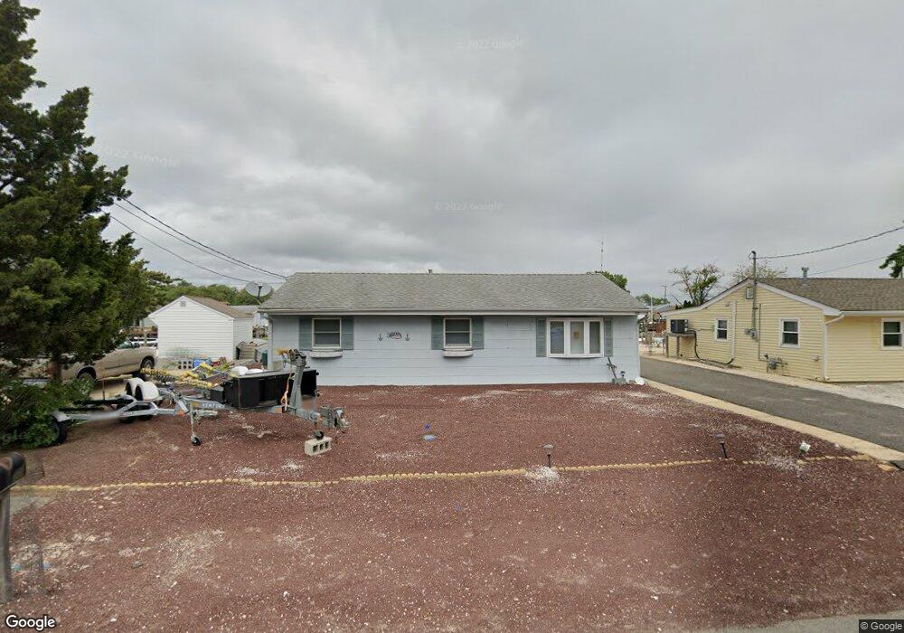
209 Bayshore Dr Barnegat, NJ 08005
Barnegat Township NeighborhoodEstimated Value: $381,000 - $542,248
3
Beds
1
Bath
996
Sq Ft
$474/Sq Ft
Est. Value
About This Home
This home is located at 209 Bayshore Dr, Barnegat, NJ 08005 and is currently estimated at $471,812, approximately $473 per square foot. 209 Bayshore Dr is a home located in Ocean County with nearby schools including Barnegat High School.
Ownership History
Date
Name
Owned For
Owner Type
Purchase Details
Closed on
Feb 4, 2019
Sold by
Stark Douglas R
Bought by
Douglas Stark Sr Family Trust
Current Estimated Value
Purchase Details
Closed on
Apr 15, 2004
Sold by
Southard Charles A and Southard Elaine R
Bought by
Stark Douglas R and Stark Rose Marie
Purchase Details
Closed on
Jul 26, 1994
Sold by
Lorenzini John
Bought by
Southard Charles
Home Financials for this Owner
Home Financials are based on the most recent Mortgage that was taken out on this home.
Original Mortgage
$100,000
Interest Rate
8.61%
Create a Home Valuation Report for This Property
The Home Valuation Report is an in-depth analysis detailing your home's value as well as a comparison with similar homes in the area
Home Values in the Area
Average Home Value in this Area
Purchase History
| Date | Buyer | Sale Price | Title Company |
|---|---|---|---|
| Douglas Stark Sr Family Trust | -- | Real Property Title Advisors | |
| Stark Douglas R | $257,500 | Lawyers Title Insurance Corp | |
| Southard Charles | $112,000 | -- |
Source: Public Records
Mortgage History
| Date | Status | Borrower | Loan Amount |
|---|---|---|---|
| Previous Owner | Southard Charles | $100,000 |
Source: Public Records
Tax History Compared to Growth
Tax History
| Year | Tax Paid | Tax Assessment Tax Assessment Total Assessment is a certain percentage of the fair market value that is determined by local assessors to be the total taxable value of land and additions on the property. | Land | Improvement |
|---|---|---|---|---|
| 2025 | $8,321 | $279,500 | $210,400 | $69,100 |
| 2024 | $8,136 | $279,500 | $210,400 | $69,100 |
| 2023 | $7,874 | $279,500 | $210,400 | $69,100 |
| 2022 | $7,874 | $279,500 | $210,400 | $69,100 |
| 2021 | $7,837 | $279,500 | $210,400 | $69,100 |
| 2020 | $7,801 | $279,500 | $210,400 | $69,100 |
| 2019 | $7,686 | $279,500 | $210,400 | $69,100 |
| 2018 | $7,628 | $279,500 | $210,400 | $69,100 |
| 2017 | $7,502 | $279,500 | $210,400 | $69,100 |
| 2016 | $7,348 | $279,500 | $210,400 | $69,100 |
| 2015 | $7,116 | $279,500 | $210,400 | $69,100 |
| 2014 | $6,934 | $279,500 | $210,400 | $69,100 |
Source: Public Records
Map
Nearby Homes
- 23 Mediterranean Ct Unit 43D
- 27 Gibraltar Ct
- 25 S Seas Ct
- 168 Beverly Dr
- 34A Denville St
- 34 Denville St Unit A
- 23 Pomona Dr
- 148 Bayshore Dr Unit A
- 107 6th St
- 6 Roxbury Dr
- 6 Reno Ct
- 301 6th St
- 403 7th St
- 54 Bayview Blvd
- 13 Baybreeze Dr
- 23 Baybreeze Dr
- 21 Baybreeze Dr
- 25 Baybreeze Dr
- 27 Baybreeze Dr
- 19 Baybreeze Dr
- 211 Bayshore Dr
- 207 Bayshore Dr
- 100 Paterson Rd
- 205 Bay Shore Dr
- 205 Bayshore Dr
- 102 Paterson Rd
- 104 Paterson Rd
- 203 Bayshore Dr
- 203 Bay Shore Dr
- 208 11th St
- 206 11th St
- 210 11th St
- 204 11th St
- 106 Paterson Rd
- 199 Bayshore Dr
- 212 11th St
- 103 Paterson Rd
- 101 Paterson Rd
- 108 Paterson Rd
- 105 Paterson Rd