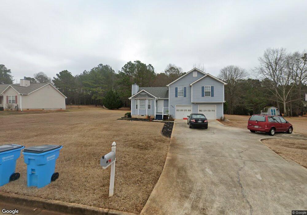
209 Beulah Ln Locust Grove, GA 30248
Estimated Value: $262,917 - $293,000
3
Beds
2
Baths
1,804
Sq Ft
$151/Sq Ft
Est. Value
About This Home
This home is located at 209 Beulah Ln, Locust Grove, GA 30248 and is currently estimated at $273,229, approximately $151 per square foot. 209 Beulah Ln is a home located in Henry County with nearby schools including Locust Grove Elementary School, Locust Grove Middle School, and Locust Grove High School.
Ownership History
Date
Name
Owned For
Owner Type
Purchase Details
Closed on
Jun 15, 2012
Sold by
Mitchell Guy M
Bought by
Hickson Lenore C
Current Estimated Value
Home Financials for this Owner
Home Financials are based on the most recent Mortgage that was taken out on this home.
Original Mortgage
$80,800
Outstanding Balance
$55,997
Interest Rate
3.83%
Mortgage Type
New Conventional
Estimated Equity
$217,232
Purchase Details
Closed on
Aug 12, 2010
Sold by
Homesales Inc
Bought by
Mitchell Guy M
Purchase Details
Closed on
Apr 6, 2010
Sold by
Kennedy Michelle W
Bought by
Chase Hm Fin Llc
Purchase Details
Closed on
Apr 1, 2003
Sold by
Chase Hm Fin Llc
Bought by
Homesales Inc
Purchase Details
Closed on
Sep 4, 2001
Sold by
Corley Const Inc
Bought by
Kennedy Michelle W
Home Financials for this Owner
Home Financials are based on the most recent Mortgage that was taken out on this home.
Original Mortgage
$121,278
Interest Rate
7.02%
Mortgage Type
New Conventional
Create a Home Valuation Report for This Property
The Home Valuation Report is an in-depth analysis detailing your home's value as well as a comparison with similar homes in the area
Home Values in the Area
Average Home Value in this Area
Purchase History
| Date | Buyer | Sale Price | Title Company |
|---|---|---|---|
| Hickson Lenore C | $101,000 | -- | |
| Mitchell Guy M | $63,800 | -- | |
| Chase Hm Fin Llc | $76,415 | -- | |
| Homesales Inc | -- | -- | |
| Kennedy Michelle W | $118,900 | -- |
Source: Public Records
Mortgage History
| Date | Status | Borrower | Loan Amount |
|---|---|---|---|
| Open | Hickson Lenore C | $80,800 | |
| Previous Owner | Kennedy Michelle W | $121,278 |
Source: Public Records
Tax History Compared to Growth
Tax History
| Year | Tax Paid | Tax Assessment Tax Assessment Total Assessment is a certain percentage of the fair market value that is determined by local assessors to be the total taxable value of land and additions on the property. | Land | Improvement |
|---|---|---|---|---|
| 2025 | $2,772 | $108,880 | $14,000 | $94,880 |
| 2024 | $2,772 | $102,640 | $14,000 | $88,640 |
| 2023 | $2,375 | $107,960 | $14,000 | $93,960 |
| 2022 | $2,194 | $78,960 | $14,000 | $64,960 |
| 2021 | $1,968 | $69,360 | $14,000 | $55,360 |
| 2020 | $1,835 | $63,760 | $12,000 | $51,760 |
| 2019 | $1,715 | $58,680 | $12,000 | $46,680 |
| 2018 | $1,554 | $51,840 | $10,800 | $41,040 |
| 2016 | $1,445 | $47,240 | $10,000 | $37,240 |
| 2015 | $1,451 | $46,320 | $8,000 | $38,320 |
| 2014 | $1,111 | $34,120 | $8,000 | $26,120 |
Source: Public Records
Map
Nearby Homes
- 79 Weymouth Dr
- 77 Weymouth Dr
- 63 Weymouth Dr
- 413 Atlas Ct
- Avion Plan at Bridle Creek
- Elle Plan at Bridle Creek
- 65 Weymouth Dr
- Halton Plan at Bridle Creek
- 632 Kimberwick Dr
- Mansfield Plan at Bridle Creek
- Denton Plan at Bridle Creek
- Hanover Plan at Bridle Creek
- 704 Curb Ct
- 73 Weymouth Dr
- 71 Weymouth Dr
- 75 Weymouth Dr
- 69 Weymouth Dr
- 339 San Anselmo St
- Zoey II Plan at Berkeley Lakes