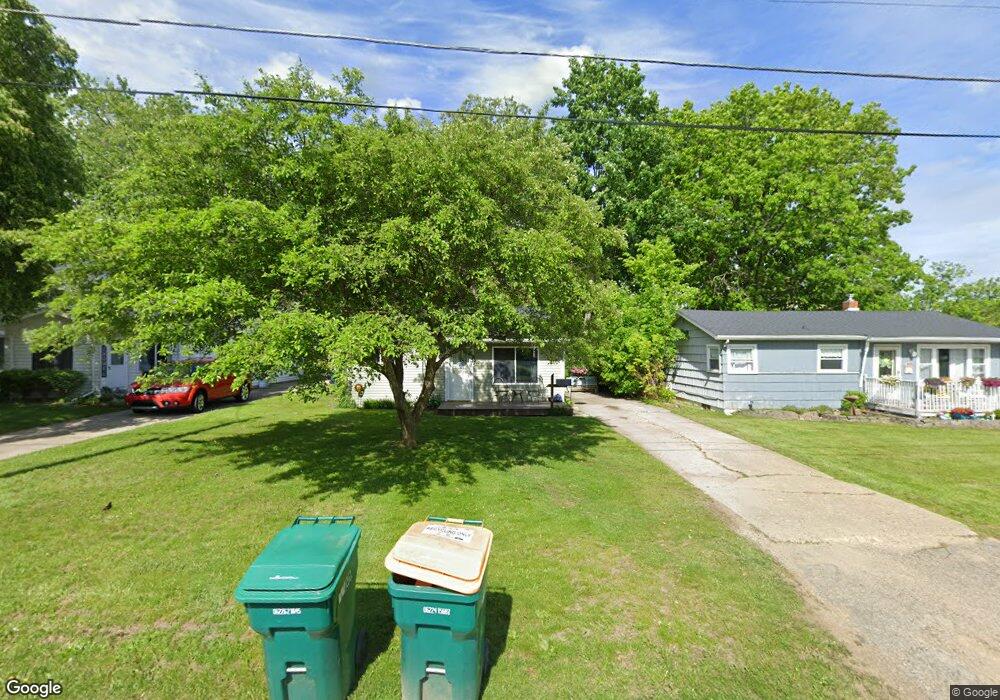
209 Boman St Flushing, MI 48433
Estimated Value: $107,000 - $121,000
2
Beds
1
Bath
650
Sq Ft
$175/Sq Ft
Est. Value
About This Home
This home is located at 209 Boman St, Flushing, MI 48433 and is currently estimated at $113,812, approximately $175 per square foot. 209 Boman St is a home located in Genesee County with nearby schools including Central Elementary School, Flushing Middle School, and Flushing High School.
Ownership History
Date
Name
Owned For
Owner Type
Purchase Details
Closed on
Jul 6, 2009
Sold by
Porter Frank and Porter Linda A
Bought by
Anderson Sharon
Current Estimated Value
Home Financials for this Owner
Home Financials are based on the most recent Mortgage that was taken out on this home.
Original Mortgage
$42,040
Outstanding Balance
$27,452
Interest Rate
5.32%
Mortgage Type
New Conventional
Estimated Equity
$86,360
Purchase Details
Closed on
Jan 29, 2004
Sold by
Strnad Deloris M
Bought by
Porter Frank and Porter Linda Ann
Create a Home Valuation Report for This Property
The Home Valuation Report is an in-depth analysis detailing your home's value as well as a comparison with similar homes in the area
Home Values in the Area
Average Home Value in this Area
Purchase History
| Date | Buyer | Sale Price | Title Company |
|---|---|---|---|
| Anderson Sharon | $38,000 | Sargents Title Company | |
| Porter Frank | -- | Sargents Title Company | |
| Porter Frank | $35,000 | Centennial Title & Abstract |
Source: Public Records
Mortgage History
| Date | Status | Borrower | Loan Amount |
|---|---|---|---|
| Open | Porter Frank | $42,040 |
Source: Public Records
Tax History
| Year | Tax Paid | Tax Assessment Tax Assessment Total Assessment is a certain percentage of the fair market value that is determined by local assessors to be the total taxable value of land and additions on the property. | Land | Improvement |
|---|---|---|---|---|
| 2025 | $1,535 | $43,500 | $0 | $0 |
| 2024 | $1,275 | $40,100 | $0 | $0 |
| 2023 | $1,233 | $36,800 | $0 | $0 |
| 2022 | $1,340 | $34,300 | $0 | $0 |
| 2021 | $1,340 | $31,000 | $0 | $0 |
| 2020 | $1,087 | $26,700 | $0 | $0 |
| 2019 | $1,064 | $24,600 | $0 | $0 |
| 2018 | $1,221 | $24,700 | $0 | $0 |
| 2017 | $1,572 | $24,400 | $0 | $0 |
| 2016 | $1,560 | $22,983 | $0 | $0 |
| 2015 | $1,552 | $0 | $0 | $0 |
| 2012 | -- | $22,200 | $22,200 | $0 |
Source: Public Records
Map
Nearby Homes
- 200 Boman St
- 530 Coutant St
- 527 Oakbrook Cir Unit 14
- 113 N Mckinley Rd
- 0 Double Tree Estates
- Lot 1 across from 74 E River Rd
- 6106 E River Rd
- 507 Dale St
- 516 Sunnyslope Dr
- 621 Ashwood Dr
- 315 N Maple St
- 515 Chestnut St
- 748 Bending Ct
- 6289 W River Rd
- 0 E River Rd Unit 50180952
- 1252 Beatrice St
- 501 Spring Ln
- 746 Bending Brook Dr
- 0 Crooked Limb Ct
- 1216 Pleasantview Dr
Your Personal Tour Guide
Ask me questions while you tour the home.