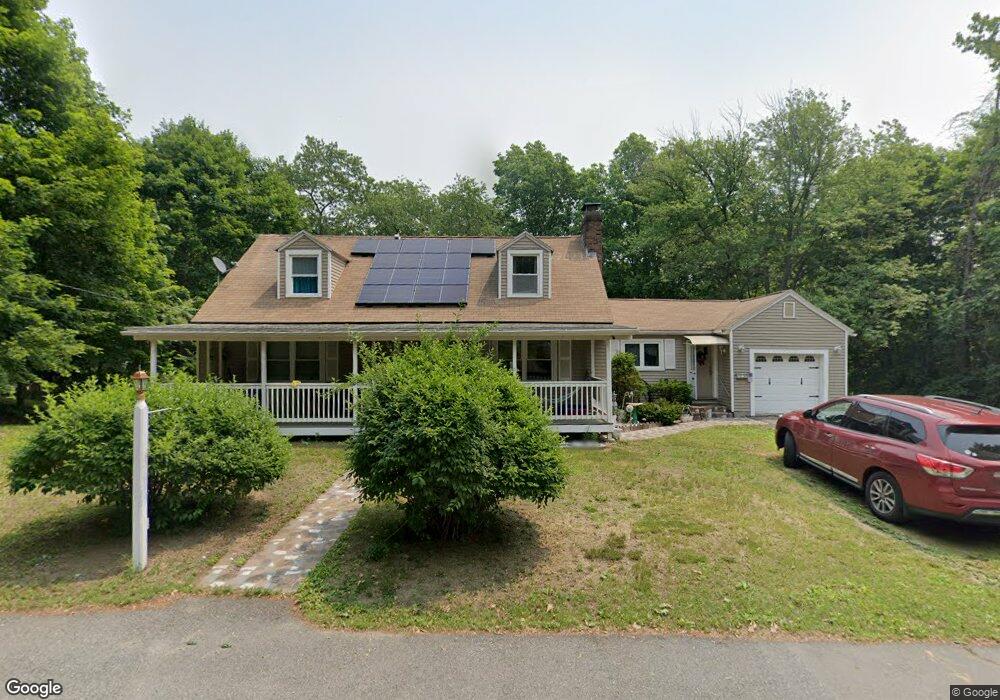
209 Coburn Ave Worcester, MA 01604
Lake Park NeighborhoodEstimated Value: $412,000 - $515,415
2
Beds
1
Bath
1,392
Sq Ft
$339/Sq Ft
Est. Value
About This Home
This home is located at 209 Coburn Ave, Worcester, MA 01604 and is currently estimated at $471,854, approximately $338 per square foot. 209 Coburn Ave is a home located in Worcester County with nearby schools including Jacob Hiatt Magnet School, Chandler Magnet, and Lake View Elementary School.
Ownership History
Date
Name
Owned For
Owner Type
Purchase Details
Closed on
Sep 1, 2011
Sold by
Bullard Eva S and Onorato Susan P
Bought by
Aviles Heriberto A and Rivera Keila
Current Estimated Value
Home Financials for this Owner
Home Financials are based on the most recent Mortgage that was taken out on this home.
Original Mortgage
$165,690
Outstanding Balance
$116,084
Interest Rate
4.75%
Mortgage Type
FHA
Estimated Equity
$355,770
Create a Home Valuation Report for This Property
The Home Valuation Report is an in-depth analysis detailing your home's value as well as a comparison with similar homes in the area
Home Values in the Area
Average Home Value in this Area
Purchase History
| Date | Buyer | Sale Price | Title Company |
|---|---|---|---|
| Aviles Heriberto A | $170,000 | -- |
Source: Public Records
Mortgage History
| Date | Status | Borrower | Loan Amount |
|---|---|---|---|
| Open | Aviles Heriberto A | $165,690 |
Source: Public Records
Tax History Compared to Growth
Tax History
| Year | Tax Paid | Tax Assessment Tax Assessment Total Assessment is a certain percentage of the fair market value that is determined by local assessors to be the total taxable value of land and additions on the property. | Land | Improvement |
|---|---|---|---|---|
| 2025 | $5,889 | $446,500 | $119,100 | $327,400 |
| 2024 | $5,752 | $418,300 | $119,100 | $299,200 |
| 2023 | $5,537 | $386,100 | $103,500 | $282,600 |
| 2022 | $5,104 | $335,600 | $82,800 | $252,800 |
| 2021 | $5,166 | $317,300 | $66,300 | $251,000 |
| 2020 | $5,010 | $294,700 | $66,200 | $228,500 |
| 2019 | $4,772 | $265,100 | $59,800 | $205,300 |
| 2018 | $4,767 | $252,100 | $59,800 | $192,300 |
| 2017 | $4,492 | $233,700 | $59,800 | $173,900 |
| 2016 | $4,507 | $218,700 | $44,700 | $174,000 |
| 2015 | $4,389 | $218,700 | $44,700 | $174,000 |
| 2014 | $4,412 | $225,800 | $44,700 | $181,100 |
Source: Public Records
Map
Nearby Homes
- 270 Coburn Ave
- 2 Touraine St
- 79 Alvarado Ave
- 24 Sherbrook Ave
- 241 Lake Ave
- 47 Alvarado Ave Unit 1A
- 496 Hamilton St
- 65 Lake Ave Unit 831
- 65 Lake Ave Unit 220
- 65 Lake Ave Unit 1008
- 105 S Quinsigamond Ave
- 4 Harold St
- 73 S Quinsigamond Ave
- 21 Middlesex Ave Unit 102
- 190 S Quinsigamond Ave Unit 102
- 13 Frank St
- 23 Superior Rd
- 340 Hamilton St
- 70 Harrington Way
- 15 Anderson Ave
- 207 Coburn Ave
- 203 Coburn Ave
- 216 Coburn Ave
- 208 Coburn Ave
- 199 Coburn Ave
- 198 Coburn Ave
- 195 Coburn Ave
- 226 Coburn Ave
- 127 Alvarado Ave
- 125 Alvarado Ave
- 129 Alvarado Ave
- 5 Ayrshire Rd
- 191 Coburn Ave
- 121 Alvarado Ave
- 1 Ayrshire Rd
- 237 Coburn Ave
- 194 Coburn Ave
- 119 Alvarado Ave
- 187 Coburn Ave
- 117 Alvarado Ave