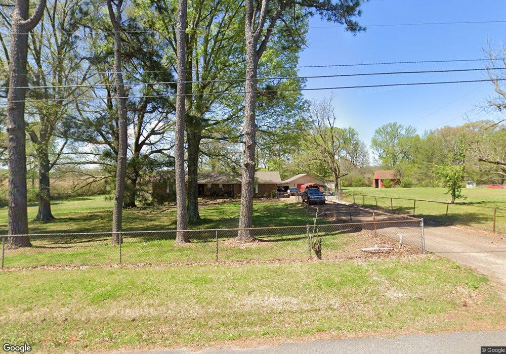
209 Cole Rd Drummonds, TN 38023
Estimated Value: $221,000 - $271,000
Studio
2
Baths
1,500
Sq Ft
$166/Sq Ft
Est. Value
About This Home
This home is located at 209 Cole Rd, Drummonds, TN 38023 and is currently estimated at $249,614, approximately $166 per square foot. 209 Cole Rd is a home located in Tipton County with nearby schools including Drummonds Elementary School, Munford Middle School, and Munford High School.
Ownership History
Date
Name
Owned For
Owner Type
Purchase Details
Closed on
Aug 24, 2023
Sold by
Harris Kellie A
Bought by
Harris Everette and Harris Rebecca
Current Estimated Value
Home Financials for this Owner
Home Financials are based on the most recent Mortgage that was taken out on this home.
Original Mortgage
$147,000
Outstanding Balance
$143,033
Interest Rate
6.96%
Mortgage Type
New Conventional
Estimated Equity
$106,581
Purchase Details
Closed on
Apr 1, 1997
Sold by
Lowe Audrey S
Bought by
Etuxx Harris Everette G Jr
Purchase Details
Closed on
Aug 1, 1995
Purchase Details
Closed on
Sep 24, 1992
Bought by
Gaither Doris D
Purchase Details
Closed on
Jul 13, 1981
Bought by
Gaither Raymond M and Gaither Doris D
Purchase Details
Closed on
Sep 22, 1977
Purchase Details
Closed on
May 9, 1977
Purchase Details
Closed on
Jun 8, 1972
Create a Home Valuation Report for This Property
The Home Valuation Report is an in-depth analysis detailing your home's value as well as a comparison with similar homes in the area
Purchase History
| Date | Buyer | Sale Price | Title Company |
|---|---|---|---|
| Harris Everette | $210,000 | Titan Title Company | |
| Etuxx Harris Everette G Jr | $123,000 | -- | |
| -- | $107,500 | -- | |
| Gaither Doris D | -- | -- | |
| Gaither Raymond M | -- | -- | |
| -- | -- | -- | |
| -- | -- | -- | |
| -- | -- | -- |
Source: Public Records
Mortgage History
| Date | Status | Borrower | Loan Amount |
|---|---|---|---|
| Open | Harris Everette | $147,000 |
Source: Public Records
Tax History
| Year | Tax Paid | Tax Assessment Tax Assessment Total Assessment is a certain percentage of the fair market value that is determined by local assessors to be the total taxable value of land and additions on the property. | Land | Improvement |
|---|---|---|---|---|
| 2025 | $939 | $61,725 | $14,500 | $47,225 |
| 2024 | $939 | $61,725 | $14,500 | $47,225 |
| 2023 | $939 | $61,725 | $14,500 | $47,225 |
| 2022 | $890 | $43,650 | $10,675 | $32,975 |
| 2021 | $890 | $43,650 | $10,675 | $32,975 |
| 2020 | $890 | $43,650 | $10,675 | $32,975 |
| 2019 | $814 | $33,625 | $9,600 | $24,025 |
| 2018 | $814 | $33,625 | $9,600 | $24,025 |
| 2017 | $814 | $33,625 | $9,600 | $24,025 |
| 2016 | $814 | $33,625 | $9,600 | $24,025 |
| 2015 | $813 | $33,625 | $9,600 | $24,025 |
| 2014 | $813 | $33,624 | $0 | $0 |
Source: Public Records
Map
Nearby Homes
- 410 Brown Rd
- 0 McClarin Dr
- 601 Pine Ln
- 218 Cedar Point Rd
- 273 Andy Dr
- 3560 Charles Bartlett Rd
- 0 Davidson Rd
- 0 Dixon Rd
- 335 Pintail Cir
- 672 Reed Cir
- 58 Hayes Rd
- 121 Reed Cir
- 3270 Rast Rd
- 0 Reed Cir Unit 10192357
- 0 Susan's Cir Unit 10212417
- 0 W Union Rd Unit 10210462
- 511 Rae Dr
- 276 Hilldale Ln
- 149 Abby Rd
- 284 Pwr Loop
Your Personal Tour Guide
Ask me questions while you tour the home.