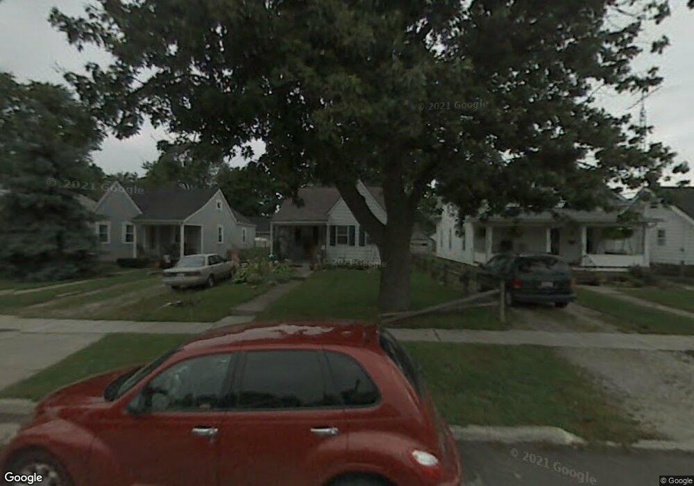
209 E Perry St Walbridge, OH 43465
Estimated Value: $99,000 - $143,000
2
Beds
1
Bath
803
Sq Ft
$145/Sq Ft
Est. Value
About This Home
This home is located at 209 E Perry St, Walbridge, OH 43465 and is currently estimated at $116,656, approximately $145 per square foot. 209 E Perry St is a home located in Wood County with nearby schools including Lake Elementary School, Lake Middle School, and Lake High School.
Ownership History
Date
Name
Owned For
Owner Type
Purchase Details
Closed on
Dec 2, 2024
Sold by
Jeanette I Gabel Trust and Gabel Todd A
Bought by
Gabel Todd A and Gabel Michelle L
Current Estimated Value
Purchase Details
Closed on
Sep 17, 2024
Sold by
Jeanette I Gabel Trust and Roe Frederick A
Bought by
Jeanette I Gabel Trust and Gabel
Purchase Details
Closed on
Oct 14, 2022
Sold by
Gabel Jeanette I
Bought by
Jeanette I Gabel Trust
Purchase Details
Closed on
Mar 3, 1993
Sold by
Baker Burt C
Bought by
Baker Burt C
Create a Home Valuation Report for This Property
The Home Valuation Report is an in-depth analysis detailing your home's value as well as a comparison with similar homes in the area
Home Values in the Area
Average Home Value in this Area
Purchase History
| Date | Buyer | Sale Price | Title Company |
|---|---|---|---|
| Gabel Todd A | -- | None Listed On Document | |
| Jeanette I Gabel Trust | -- | None Listed On Document | |
| Jeanette I Gabel Trust | -- | -- | |
| Baker Burt C | -- | -- |
Source: Public Records
Tax History
| Year | Tax Paid | Tax Assessment Tax Assessment Total Assessment is a certain percentage of the fair market value that is determined by local assessors to be the total taxable value of land and additions on the property. | Land | Improvement |
|---|---|---|---|---|
| 2025 | $1,347 | $29,610 | $5,600 | $24,010 |
| 2024 | $1,342 | $29,610 | $5,600 | $24,010 |
| 2023 | $1,342 | $29,610 | $5,600 | $24,010 |
| 2021 | $1,301 | $24,430 | $5,600 | $18,830 |
| 2020 | $1,251 | $24,430 | $5,600 | $18,830 |
| 2019 | $1,169 | $21,040 | $5,600 | $15,440 |
| 2018 | $1,168 | $21,040 | $5,600 | $15,440 |
| 2017 | $499 | $21,040 | $5,600 | $15,440 |
| 2016 | $963 | $17,820 | $5,040 | $12,780 |
| 2015 | $963 | $17,820 | $5,040 | $12,780 |
| 2014 | $1,017 | $17,820 | $5,040 | $12,780 |
| 2013 | $1,180 | $19,810 | $5,600 | $14,210 |
Source: Public Records
Map
Nearby Homes
- 225 E Union St
- 100 W Union St
- 504 N Main St
- 238 S Bridge Rd
- 236 S Bridge Rd
- 224 S Bridge Rd
- 232 S Bridge Rd
- 241 S Bridge Rd
- 237 S Bridge Rd
- 30643 Drouillard Rd
- Integrity 1750 Plan at Meadowgate
- Integrity 1530 Plan at Meadowgate
- Integrity 1605 Plan at Meadowgate
- integrity 2280 Plan at Meadowgate
- Integrity 2061 V8.1a Plan at Meadowgate
- Integrity 2080 Plan at Meadowgate
- Integrity 1830 Plan at Meadowgate
- Integrity 1910 Plan at Meadowgate
- Integrity 2060 Plan at Meadowgate
- Integrity 2000 Plan at Meadowgate
Your Personal Tour Guide
Ask me questions while you tour the home.