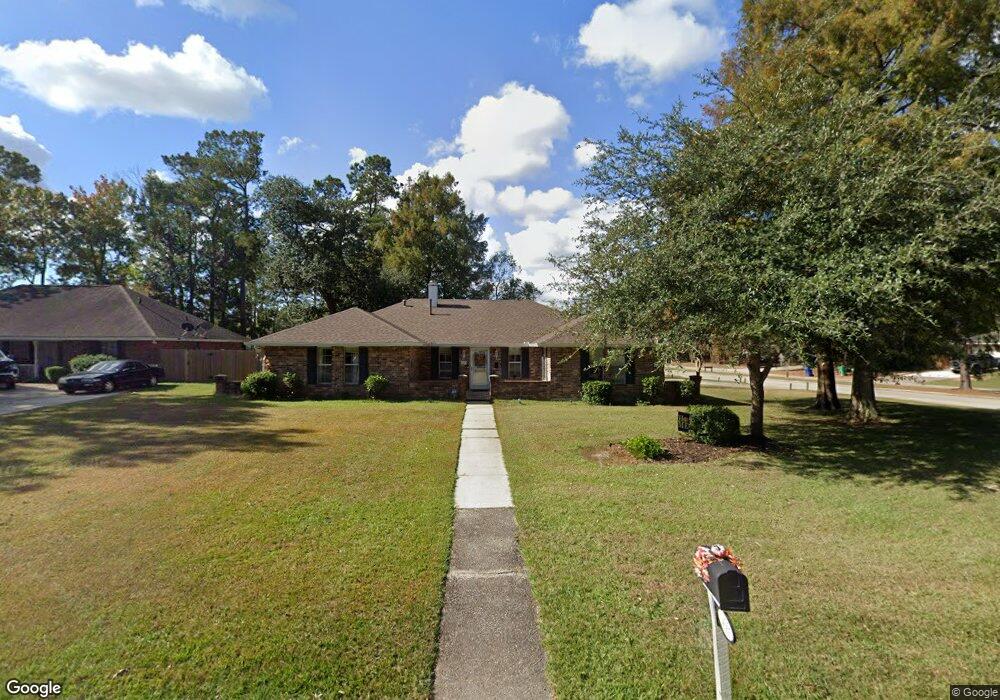
209 E Queensbury Dr Slidell, LA 70461
Estimated Value: $285,609 - $330,000
3
Beds
3
Baths
2,537
Sq Ft
$123/Sq Ft
Est. Value
About This Home
This home is located at 209 E Queensbury Dr, Slidell, LA 70461 and is currently estimated at $310,902, approximately $122 per square foot. 209 E Queensbury Dr is a home located in St. Tammany Parish with nearby schools including Cypress Cove Elementary School, Honey Island Elementary School, and Little Oak Middle School.
Ownership History
Date
Name
Owned For
Owner Type
Purchase Details
Closed on
Feb 11, 2021
Sold by
Schewe Sherrol K
Bought by
Schewe Daniel N
Current Estimated Value
Home Financials for this Owner
Home Financials are based on the most recent Mortgage that was taken out on this home.
Original Mortgage
$314,977
Interest Rate
2.9%
Mortgage Type
VA
Create a Home Valuation Report for This Property
The Home Valuation Report is an in-depth analysis detailing your home's value as well as a comparison with similar homes in the area
Home Values in the Area
Average Home Value in this Area
Purchase History
| Date | Buyer | Sale Price | Title Company |
|---|---|---|---|
| Schewe Daniel N | -- | None Available |
Source: Public Records
Mortgage History
| Date | Status | Borrower | Loan Amount |
|---|---|---|---|
| Closed | Schewe Daniel N | $314,977 |
Source: Public Records
Tax History
| Year | Tax Paid | Tax Assessment Tax Assessment Total Assessment is a certain percentage of the fair market value that is determined by local assessors to be the total taxable value of land and additions on the property. | Land | Improvement |
|---|---|---|---|---|
| 2025 | $1,887 | $21,942 | $3,500 | $18,442 |
| 2024 | $1,887 | $21,942 | $3,500 | $18,442 |
| 2023 | $1,960 | $21,942 | $3,500 | $18,442 |
| 2022 | $211,889 | $21,942 | $3,500 | $18,442 |
| 2021 | $2,116 | $21,942 | $3,500 | $18,442 |
| 2020 | $2,105 | $21,942 | $3,500 | $18,442 |
| 2019 | $3,278 | $21,942 | $3,500 | $18,442 |
| 2018 | $3,291 | $21,942 | $3,500 | $18,442 |
| 2017 | $3,312 | $21,942 | $3,500 | $18,442 |
| 2016 | $3,390 | $21,942 | $3,500 | $18,442 |
| 2015 | $1,969 | $19,900 | $3,500 | $16,400 |
| 2014 | $1,959 | $19,900 | $3,500 | $16,400 |
| 2013 | -- | $19,900 | $3,500 | $16,400 |
Source: Public Records
Map
Nearby Homes
- 564 Manchester Dr
- 111 Thatcher Dr
- 834 Cross Gates Blvd
- 40477 Crawford Landing Rd
- 301 Steele Rd
- 307 N Buckingham Dr
- 225 Gum Bayou Ln
- 424 Dockside Dr
- 204 Camborne Ln
- 881 Cross Gates Blvd
- 0 N 31 St St Unit 2530384
- 732 Wood Duck Ln
- 608 Dockside Dr
- 676 Dockside Dr
- 656 Dockside Dr
- 632 Dockside Dr
- 624 Dockside Dr
- 641 Dockside Dr
- 668 Dockside Dr
- 207 E Queensbury Dr
- 557 Cross Gates Blvd
- 301 W Queensbury Dr
- 205 E Queensbury Dr
- 206 E Queensbury Dr
- 303 W Queensbury Dr
- 302 W Queensbury Dr
- 555 Cross Gates Blvd
- 203 E Queensbury Dr
- 204 E Queensbury Dr
- 202 E Queensbury Dr
- 304 W Queensbury Dr
- 305 W Queensbury Dr
- 105 W Queensbury Dr
- 105 E Queensbury Dr
- 102 York Ct
- 553 Cross Gates Blvd
- 211 N Military Rd
- 300 N Military Rd
- 554 Cross Gates Blvd
Your Personal Tour Guide
Ask me questions while you tour the home.