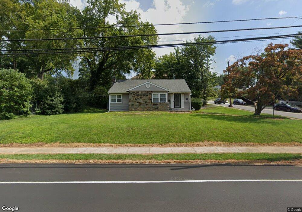
209 E Thomson Ave Springfield, PA 19064
Estimated Value: $406,000 - $471,000
3
Beds
1
Bath
1,232
Sq Ft
$348/Sq Ft
Est. Value
About This Home
This home is located at 209 E Thomson Ave, Springfield, PA 19064 and is currently estimated at $429,221, approximately $348 per square foot. 209 E Thomson Ave is a home located in Delaware County with nearby schools including Springfield High School and St Francis Of Assisi School.
Ownership History
Date
Name
Owned For
Owner Type
Purchase Details
Closed on
May 3, 2007
Sold by
Rayer John M
Bought by
Sheldon Colleen C
Current Estimated Value
Home Financials for this Owner
Home Financials are based on the most recent Mortgage that was taken out on this home.
Original Mortgage
$207,200
Outstanding Balance
$126,308
Interest Rate
6.21%
Mortgage Type
Purchase Money Mortgage
Estimated Equity
$302,913
Purchase Details
Closed on
Jan 11, 2007
Sold by
Pennartz Marie R and Miller Patricia
Bought by
Rayer John
Create a Home Valuation Report for This Property
The Home Valuation Report is an in-depth analysis detailing your home's value as well as a comparison with similar homes in the area
Home Values in the Area
Average Home Value in this Area
Purchase History
| Date | Buyer | Sale Price | Title Company |
|---|---|---|---|
| Sheldon Colleen C | $259,000 | Commonwealth Land Title Insu | |
| Rayer John | $250,000 | None Available |
Source: Public Records
Mortgage History
| Date | Status | Borrower | Loan Amount |
|---|---|---|---|
| Open | Sheldon Colleen C | $207,200 |
Source: Public Records
Tax History
| Year | Tax Paid | Tax Assessment Tax Assessment Total Assessment is a certain percentage of the fair market value that is determined by local assessors to be the total taxable value of land and additions on the property. | Land | Improvement |
|---|---|---|---|---|
| 2025 | $6,681 | $237,710 | $101,230 | $136,480 |
| 2024 | $6,681 | $237,710 | $101,230 | $136,480 |
| 2023 | $6,433 | $237,710 | $101,230 | $136,480 |
| 2022 | $6,294 | $237,710 | $101,230 | $136,480 |
| 2021 | $9,748 | $237,710 | $101,230 | $136,480 |
| 2020 | $5,728 | $126,400 | $48,670 | $77,730 |
| 2019 | $5,593 | $126,400 | $48,670 | $77,730 |
| 2018 | $5,513 | $126,400 | $0 | $0 |
| 2017 | $5,386 | $126,400 | $0 | $0 |
| 2016 | $694 | $126,400 | $0 | $0 |
| 2015 | $694 | $126,400 | $0 | $0 |
| 2014 | $694 | $126,400 | $0 | $0 |
Source: Public Records
Map
Nearby Homes
- 493 Wheatsheaf Rd
- 231 E Woodland Ave
- 364 S Rolling Rd
- 227 E Leamy Ave
- 264 Pancoast Ave
- 249 Gleaves Rd
- 720 Evans Rd
- 1364 Nicklaus Dr Unit O126
- 1363 Palmer Dr Unit O122
- 1291 Country Club Dr Unit Q137
- 253 Saxer Ave
- 658 E Leamy Ave
- 359 Spring Valley Rd
- 933 Greenbriar Ln
- 334 Parham Rd
- 226 Lynbrooke Rd
- 436 Kerr Ln
- 114 Providence Rd
- 1588 Nicklaus Dr Unit H65
- 225 Lynbrooke Rd
- 496 Prospect Rd
- 205 E Thomson Ave
- 217 E Thompson Ave
- 492 Prospect Rd
- 217 E Thomson Ave
- 201 E Thomson Ave
- 495 Prospect Rd
- 488 Prospect Rd
- 487 Prospect Rd
- 223 E Thomson Ave
- 210 E Thomson Ave
- 491 Prospect Rd
- 204 E Thomson Ave
- 484 Prospect Rd
- 475 Prospect Rd
- 200 E Thompson Ave
- 200 E Thomson Ave
- 483 Powell Rd
- 227 E Thomson Ave
- 222 E Thomson Ave
Your Personal Tour Guide
Ask me questions while you tour the home.