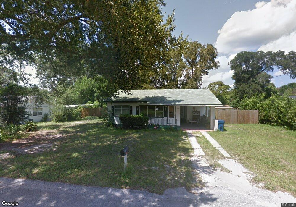
209 E Washington Ave Deland, FL 32724
North DeLand NeighborhoodEstimated Value: $178,000 - $194,000
2
Beds
1
Bath
960
Sq Ft
$193/Sq Ft
Est. Value
About This Home
This home is located at 209 E Washington Ave, Deland, FL 32724 and is currently estimated at $185,574, approximately $193 per square foot. 209 E Washington Ave is a home located in Volusia County with nearby schools including George W. Marks Elementary School, Deland High School, and Deland Middle School.
Ownership History
Date
Name
Owned For
Owner Type
Purchase Details
Closed on
Aug 26, 2009
Sold by
Miller Michael A
Bought by
Gillespie Thomas M
Current Estimated Value
Home Financials for this Owner
Home Financials are based on the most recent Mortgage that was taken out on this home.
Original Mortgage
$49,000
Interest Rate
5.11%
Mortgage Type
New Conventional
Purchase Details
Closed on
Feb 28, 2003
Sold by
Rice Walter M and Rice Ruth W
Bought by
Miller Michael A
Purchase Details
Closed on
Nov 15, 1972
Bought by
Gillespie Thomas M
Create a Home Valuation Report for This Property
The Home Valuation Report is an in-depth analysis detailing your home's value as well as a comparison with similar homes in the area
Home Values in the Area
Average Home Value in this Area
Purchase History
| Date | Buyer | Sale Price | Title Company |
|---|---|---|---|
| Gillespie Thomas M | $65,000 | Westside Title Services Inc | |
| Miller Michael A | $59,000 | -- | |
| Gillespie Thomas M | $15,000 | -- |
Source: Public Records
Mortgage History
| Date | Status | Borrower | Loan Amount |
|---|---|---|---|
| Closed | Gillespie Thomas M | $49,000 |
Source: Public Records
Tax History Compared to Growth
Tax History
| Year | Tax Paid | Tax Assessment Tax Assessment Total Assessment is a certain percentage of the fair market value that is determined by local assessors to be the total taxable value of land and additions on the property. | Land | Improvement |
|---|---|---|---|---|
| 2025 | $918 | $75,685 | -- | -- |
| 2024 | $918 | $73,552 | -- | -- |
| 2023 | $918 | $71,410 | $0 | $0 |
| 2022 | $896 | $69,330 | $0 | $0 |
| 2021 | $927 | $67,311 | $0 | $0 |
| 2020 | $904 | $64,056 | $0 | $0 |
| 2019 | $932 | $62,616 | $0 | $0 |
| 2018 | $925 | $61,448 | $0 | $0 |
| 2017 | $913 | $60,184 | $12,060 | $48,124 |
| 2016 | $1,400 | $54,124 | $0 | $0 |
| 2015 | $1,310 | $46,650 | $0 | $0 |
| 2014 | $1,237 | $45,686 | $0 | $0 |
Source: Public Records
Map
Nearby Homes
- 930 N Amelia Ave
- 1207 N Amelia Ave
- 205 E Kentucky Ave
- 1301 N Amelia Ave
- 325 E Plymouth Ave
- 1307 Cook St
- 404 E Kentucky Ave
- 830 N Clake Ave
- 526 Cumberland Rd
- 505 E Plymouth Ave
- 528 Compton Ct
- 104 E Rosehill Ave
- 1408 N Garfield Ave
- 0 North St Unit 1211817
- 0 North St Unit 1216611
- 138 W Stetson Ave
- 1412 N Garfield Ave
- 569 Parkdale Ct
- 127 W Palmetto Ave
- 0 No St Unit MFRV4933386
- 207 E Washington Ave
- 211 E Washington Ave
- 210 Kensington Ave
- 214 Kensington Ave
- 206 Kensington Ave
- 1020 N Pine St
- 205 E Washington Ave
- 1105 N Alabama Ave
- 220 Kensington Ave
- 206 E Washington Ave
- 1131 N Alabama Ave
- 214 E Washington Ave
- 1013 N Alabama Ave
- 228 Kensington Ave
- 1016 N Pine St
- 209 Kensington Ave
- 213 Kensington Ave
- 1015 N Pine St
- 129 E Washington Ave
- 219 Kensington Ave