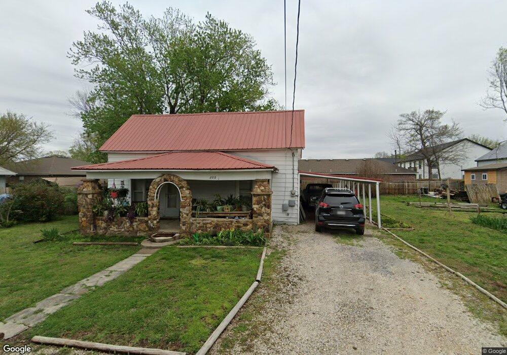
209 Elm St Prairie Grove, AR 72753
Estimated Value: $142,240 - $254,000
--
Bed
1
Bath
1,472
Sq Ft
$137/Sq Ft
Est. Value
About This Home
This home is located at 209 Elm St, Prairie Grove, AR 72753 and is currently estimated at $202,060, approximately $137 per square foot. 209 Elm St is a home located in Washington County with nearby schools including Prairie Grove Elementary School, Prairie Grove Middle School, and Prairie Grove Junior High School.
Ownership History
Date
Name
Owned For
Owner Type
Purchase Details
Closed on
Aug 27, 2025
Sold by
Henry Robert Richard and Henry Joshua
Bought by
Henry Joshua and Henry John
Current Estimated Value
Purchase Details
Closed on
Jan 9, 2024
Sold by
Oskey Jared and Oskey Lisa Lynn
Bought by
Oskey Christopher D and Oskey Lisa Lynn
Purchase Details
Closed on
Jun 1, 1992
Bought by
Henry Bobby R
Purchase Details
Closed on
Nov 7, 1986
Bought by
Henry Bobby R and Henry Diane T
Purchase Details
Closed on
Mar 24, 1945
Bought by
Martin R H
Create a Home Valuation Report for This Property
The Home Valuation Report is an in-depth analysis detailing your home's value as well as a comparison with similar homes in the area
Home Values in the Area
Average Home Value in this Area
Purchase History
| Date | Buyer | Sale Price | Title Company |
|---|---|---|---|
| Henry Joshua | -- | None Listed On Document | |
| Oskey Christopher D | -- | Waco Title | |
| Oskey Christopher D | -- | Waco Title | |
| Henry Bobby R | -- | -- | |
| Henry Bobby R | $17,000 | -- | |
| Martin R H | -- | -- |
Source: Public Records
Tax History Compared to Growth
Tax History
| Year | Tax Paid | Tax Assessment Tax Assessment Total Assessment is a certain percentage of the fair market value that is determined by local assessors to be the total taxable value of land and additions on the property. | Land | Improvement |
|---|---|---|---|---|
| 2025 | $51 | $24,580 | $9,100 | $15,480 |
| 2024 | $161 | $24,580 | $9,100 | $15,480 |
| 2023 | $296 | $24,580 | $9,100 | $15,480 |
| 2022 | $311 | $15,280 | $2,800 | $12,480 |
| 2021 | $281 | $15,280 | $2,800 | $12,480 |
| 2020 | $249 | $15,280 | $2,800 | $12,480 |
| 2019 | $226 | $11,050 | $3,600 | $7,450 |
| 2018 | $251 | $11,050 | $3,600 | $7,450 |
| 2017 | $25 | $11,050 | $3,600 | $7,450 |
| 2016 | $246 | $11,050 | $3,600 | $7,450 |
| 2015 | $246 | $11,050 | $3,600 | $7,450 |
| 2014 | $263 | $11,370 | $3,600 | $7,770 |
Source: Public Records
Map
Nearby Homes
- 4.66 +/- AC Tract 5 Hwy 62 & S Mock St
- 211 Boston St
- 601 Westwood Ave
- 311 S Mock St
- 110 Cypress St
- 106 S Ozark St
- TBD Kate Smith St
- 703 Grant Ave
- Lot 2 Holmes St
- 107 S Ozark St
- 208 N Neal St
- 304 S Summit St
- 308 S Summit St
- 600 Kendra St
- 621 Kendra St
- 740 Kendra St
- 661 Summer Ln
- 601 Pennington Ave
- 661 Marcella St
- 611 Marcella St
- 212 S Mock St
- 112 W Thurman St
- 205 Elm St
- 109 W Cleveland St
- 108 W Thurman St
- 200 W Thurman St
- 208 Elm St
- 218 S Mock St
- 111 W Thurman St
- 111 W Cleveland St
- 201 W Cleveland St
- 206 S Mock St
- 208 W Thurman St
- 201 W Thurman St
- 206 Walnut St
- 201 E Thurman St
- 107 W Cleveland St
- 106 W Thurman St
- 203 W Thurman St
- 109 W Thurman St