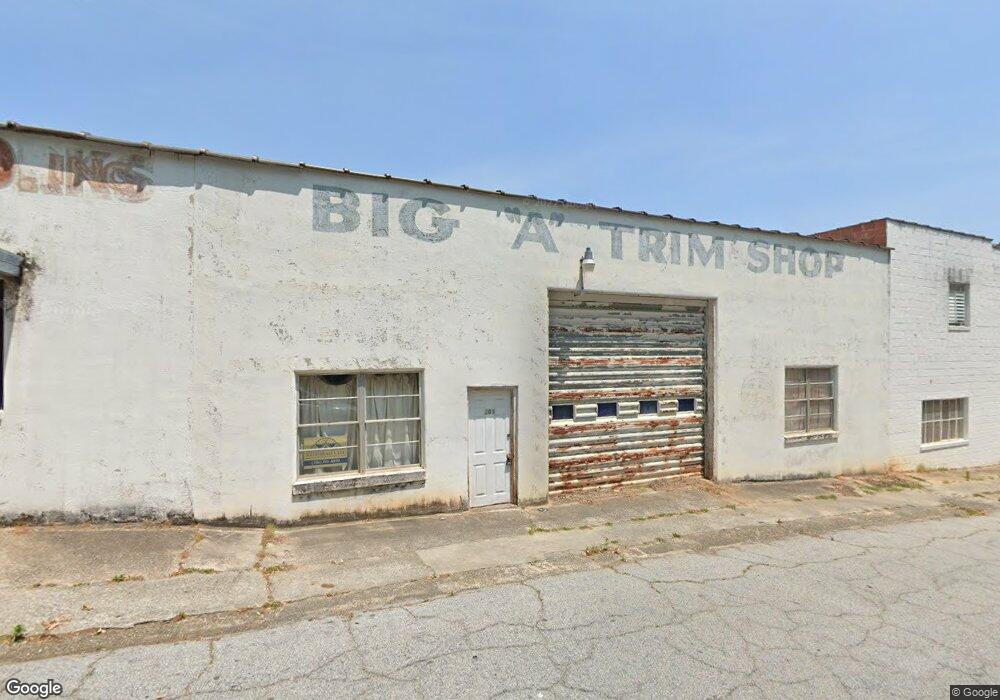
209 Foreacre St Toccoa, GA 30577
Estimated Value: $188,661
Studio
--
Bath
5,000
Sq Ft
$38/Sq Ft
Est. Value
About This Home
This home is located at 209 Foreacre St, Toccoa, GA 30577 and is currently estimated at $188,661, approximately $37 per square foot. 209 Foreacre St is a home located in Stephens County with nearby schools including Stephens County High School.
Ownership History
Date
Name
Owned For
Owner Type
Purchase Details
Closed on
Jan 20, 2023
Sold by
Power Richard Clayton
Bought by
Currahee Movement Collective Llc
Current Estimated Value
Home Financials for this Owner
Home Financials are based on the most recent Mortgage that was taken out on this home.
Original Mortgage
$130,050
Interest Rate
6.95%
Mortgage Type
Mortgage Modification
Purchase Details
Closed on
Dec 5, 2022
Sold by
Power Richard Clayton
Bought by
Power Richard Clayton and Power Carrie Alice
Home Financials for this Owner
Home Financials are based on the most recent Mortgage that was taken out on this home.
Original Mortgage
$130,050
Interest Rate
6.95%
Mortgage Type
Mortgage Modification
Purchase Details
Closed on
Jul 24, 2012
Sold by
Burgess Christine K
Bought by
Burgess Phillip L
Purchase Details
Closed on
Jan 1, 1979
Sold by
Burgess Raymond D
Bought by
Burgess Lester
Purchase Details
Closed on
Mar 24, 1977
Sold by
Burgess Raymond D
Bought by
Lester Burgess
Create a Home Valuation Report for This Property
The Home Valuation Report is an in-depth analysis detailing your home's value as well as a comparison with similar homes in the area
Purchase History
| Date | Buyer | Sale Price | Title Company |
|---|---|---|---|
| Currahee Movement Collective Llc | -- | -- | |
| Power Richard Clayton | -- | -- | |
| Power Richard Clayton | $153,000 | -- | |
| Burgess Phillip L | -- | -- | |
| Burgess Lester | $14,200 | -- | |
| Lester Burgess | -- | -- |
Source: Public Records
Mortgage History
| Date | Status | Borrower | Loan Amount |
|---|---|---|---|
| Previous Owner | Power Richard Clayton | $130,050 |
Source: Public Records
Tax History
| Year | Tax Paid | Tax Assessment Tax Assessment Total Assessment is a certain percentage of the fair market value that is determined by local assessors to be the total taxable value of land and additions on the property. | Land | Improvement |
|---|---|---|---|---|
| 2025 | $1,122 | $37,796 | $5,120 | $32,676 |
| 2024 | $1,347 | $37,796 | $5,120 | $32,676 |
| 2023 | $1,067 | $30,172 | $5,120 | $25,052 |
| 2022 | $412 | $13,834 | $5,120 | $8,714 |
| 2021 | $433 | $13,834 | $5,120 | $8,714 |
| 2020 | $437 | $13,834 | $5,120 | $8,714 |
| 2019 | $439 | $13,834 | $5,120 | $8,714 |
| 2018 | $439 | $13,834 | $5,120 | $8,714 |
| 2017 | $446 | $13,834 | $5,120 | $8,714 |
| 2016 | $439 | $13,833 | $5,120 | $8,713 |
| 2015 | $459 | $13,833 | $5,120 | $8,713 |
| 2014 | $439 | $13,000 | $5,120 | $7,880 |
| 2013 | -- | $13,000 | $9,600 | $7,880 |
Source: Public Records
Map
Nearby Homes
- 259 E Currahee St
- 18 W Currahee St
- 109 Schaefer Ct
- 239 E Doyle St
- 53 Cole Manor Dr
- 326 Remsdale Rd
- 84 Park St
- 320 S Pond St
- 198 S Broad St
- 288 S Broad St
- 614 616 S Pond St
- 31 Craig St
- 50 Green Hill Place
- 30 Moore Ave
- 128 Branch St
- 43 Pauline St
- 478 S Pond St
- 481 W Currahee St
- 120 S Pine St
- 500 S Pond St
- 247 E Foreacre St Unit 12
- 219 Foreacre St
- 138 N Pond St Unit 25
- 138 N Pond St
- 0 N Pond St Unit 3162916
- 0 N Pond St Unit 2897799
- 0 N Pond St Unit 20019998
- 0 N Pond St Unit 20119694
- 147 N Pond St
- 157 N Pond St
- 35 N Pond St
- 414 E Doyle St
- 74 Doyle St
- 348 E Doyle St
- E Doyle 138 North Pond NE
- 11 E Doyle 138 North Pond
- 11 E Doyle St
- 66 Doyle St
- 79 Doyle St
- 77 E Doyle St Unit 12B
Your Personal Tour Guide
Ask me questions while you tour the home.