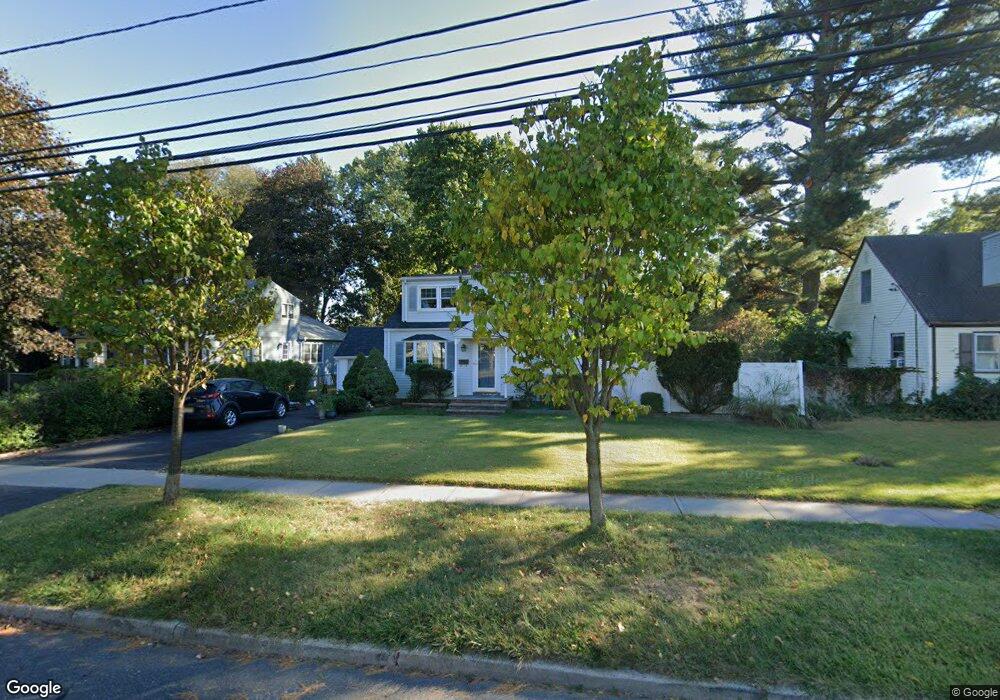
209 Franklin Ave South Plainfield, NJ 07080
Estimated Value: $398,160 - $552,000
--
Bed
--
Bath
--
Sq Ft
7,710
Sq Ft Lot
About This Home
This home is located at 209 Franklin Ave, South Plainfield, NJ 07080 and is currently estimated at $498,040. 209 Franklin Ave is a home located in Middlesex County with nearby schools including South Plainfield High School, The Queen City Academy Charter School, and Koinonia Academy.
Ownership History
Date
Name
Owned For
Owner Type
Purchase Details
Closed on
Apr 30, 1997
Sold by
Kellerman Donald
Bought by
Baker Mary Beth
Current Estimated Value
Home Financials for this Owner
Home Financials are based on the most recent Mortgage that was taken out on this home.
Original Mortgage
$108,000
Outstanding Balance
$14,639
Interest Rate
7.88%
Estimated Equity
$483,401
Create a Home Valuation Report for This Property
The Home Valuation Report is an in-depth analysis detailing your home's value as well as a comparison with similar homes in the area
Home Values in the Area
Average Home Value in this Area
Purchase History
| Date | Buyer | Sale Price | Title Company |
|---|---|---|---|
| Baker Mary Beth | $144,000 | -- |
Source: Public Records
Mortgage History
| Date | Status | Borrower | Loan Amount |
|---|---|---|---|
| Open | Baker Mary Beth | $108,000 |
Source: Public Records
Tax History Compared to Growth
Tax History
| Year | Tax Paid | Tax Assessment Tax Assessment Total Assessment is a certain percentage of the fair market value that is determined by local assessors to be the total taxable value of land and additions on the property. | Land | Improvement |
|---|---|---|---|---|
| 2025 | $6,437 | $92,200 | $29,600 | $62,600 |
| 2024 | $6,157 | $92,200 | $29,600 | $62,600 |
| 2023 | $6,157 | $92,200 | $29,600 | $62,600 |
| 2022 | $6,081 | $92,200 | $29,600 | $62,600 |
| 2021 | $5,938 | $92,200 | $29,600 | $62,600 |
| 2020 | $5,851 | $92,200 | $29,600 | $62,600 |
| 2019 | $5,614 | $92,200 | $29,600 | $62,600 |
| 2018 | $5,469 | $92,200 | $29,600 | $62,600 |
| 2017 | $5,399 | $92,200 | $29,600 | $62,600 |
| 2016 | $5,345 | $92,200 | $29,600 | $62,600 |
| 2015 | $5,253 | $92,200 | $29,600 | $62,600 |
| 2014 | $5,101 | $92,200 | $29,600 | $62,600 |
Source: Public Records
Map
Nearby Homes
- 551 Melrose Ave
- 1143 Worth Dr
- 1210 Maltby Ave
- 241 Van Fleet Ave
- 917 Tompkins Ave
- 480 Sampton Ave
- 1453 Tooz Place
- 260 Merchants Ave
- 105 Firth St
- 131 Martin Dr
- 1726 Kenyon Ave
- 1712 Kenyon Ave
- 139 Palmer Ave
- 1221 Grant Ave Unit 23
- 1533 Clinton Ave
- 1210 Field Ave
- 1119 S 9th St
- 218 Schillaci Ln
- 909 Sherman Ave
- 533 Edgar Ave
- 205 Franklin Ave
- 211 Franklin Ave
- 1 Thornton Ct
- 123 Franklin Ave
- 5 Thornton Ct
- 301 Franklin Ave
- 210 Franklin Ave
- 200 Franklin Ave
- 111 Carone Ct
- 117 Franklin Ave
- 230 Franklin Ave
- 122 Franklin Ave
- 2 Thornton Ct
- 250 Franklin Ave
- 311 Franklin Ave
- 111 Franklin Ave
- 107 Carone Ct
- 118 Franklin Ave
- 23 Delaney Ct
- 21 Delaney Ct