209 Highway Aa Eugene, MO 65032
Estimated Value: $297,000 - $537,940
1
Bed
--
Bath
2,013
Sq Ft
$210/Sq Ft
Est. Value
About This Home
This home is located at 209 Highway Aa, Eugene, MO 65032 and is currently estimated at $422,313, approximately $209 per square foot. 209 Highway Aa is a home with nearby schools including Eugene Elementary School and Eugene High School.
Ownership History
Date
Name
Owned For
Owner Type
Purchase Details
Closed on
Jul 11, 2022
Sold by
Groose Christopher C and Groose Debra A
Bought by
Betty J Groose Revocable Living Trust
Current Estimated Value
Purchase Details
Closed on
Feb 22, 2022
Sold by
Groose Christopher C and Groose Debra A
Bought by
Christopher C Groose And Debra A Groose Revoc
Create a Home Valuation Report for This Property
The Home Valuation Report is an in-depth analysis detailing your home's value as well as a comparison with similar homes in the area
Purchase History
| Date | Buyer | Sale Price | Title Company |
|---|---|---|---|
| Betty J Groose Revocable Living Trust | -- | -- | |
| Christopher C Groose And Debra A Groose Revoc | -- | Appleby Healy Attorneys At Law |
Source: Public Records
Tax History
| Year | Tax Paid | Tax Assessment Tax Assessment Total Assessment is a certain percentage of the fair market value that is determined by local assessors to be the total taxable value of land and additions on the property. | Land | Improvement |
|---|---|---|---|---|
| 2025 | $2,469 | $43,380 | $3,420 | $39,960 |
| 2024 | $2,053 | $39,710 | $3,250 | $36,460 |
| 2023 | $2,006 | $39,710 | $3,250 | $36,460 |
| 2022 | $1,901 | $37,960 | $3,320 | $34,640 |
| 2021 | $1,903 | $37,960 | $3,320 | $34,640 |
| 2020 | $1,851 | $36,530 | $3,320 | $33,210 |
| 2019 | $1,857 | $36,540 | $3,320 | $33,220 |
| 2018 | $1,793 | $36,540 | $3,320 | $33,220 |
| 2017 | $1,788 | $37,510 | $3,280 | $34,230 |
| 2016 | $1,839 | $37,600 | $0 | $0 |
| 2015 | -- | $37,600 | $0 | $0 |
| 2012 | -- | $39,400 | $0 | $0 |
Source: Public Records
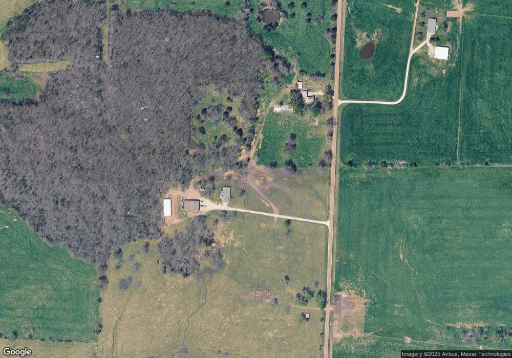
Map
Nearby Homes
- 13615 Redfield Dr
- 12907 Penny Hollow Rd
- LOT 7 Henley Estates
- LOT 5 Henley Estates
- LOT 6 Henley Estates
- LOT 8 Henley Estates
- LOT 4 Henley Estates
- LOT 2 Henley Estates
- TBD Highway Mm
- 000 Swift Rd
- 89 Frank Rd
- LOT 3 & 4 Sternberg Estates
- 0 W Brazito Rd
- 0 Highway Mm
- 0 Shaw Rd
- 367 Highway Mm
- LOT 11 Henley Estates
- LOT 9 Henley Estates
- LOT 10 Henley Estates
- LOT 12 Henley Estates
Your Personal Tour Guide
Ask me questions while you tour the home.