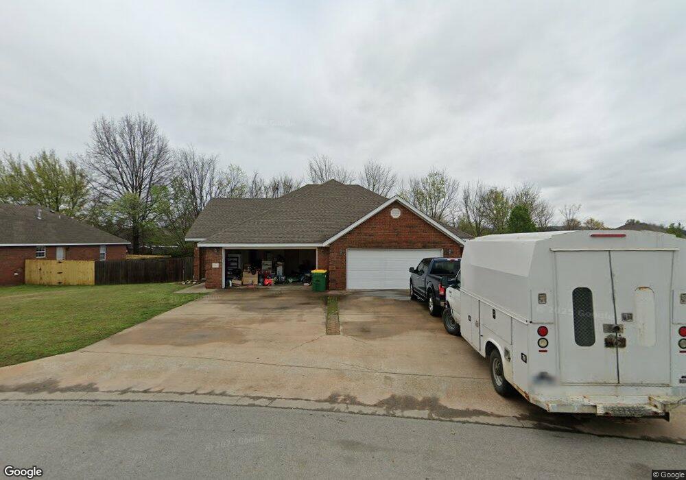
209 Hindman Dr Prairie Grove, AR 72753
Estimated Value: $375,000 - $500,000
--
Bed
4
Baths
2,830
Sq Ft
$151/Sq Ft
Est. Value
About This Home
This home is located at 209 Hindman Dr, Prairie Grove, AR 72753 and is currently estimated at $428,188, approximately $151 per square foot. 209 Hindman Dr is a home with nearby schools including Prairie Grove Elementary School, Prairie Grove Middle School, and Prairie Grove Junior High School.
Ownership History
Date
Name
Owned For
Owner Type
Purchase Details
Closed on
Jan 21, 2008
Sold by
Cox Darren K and Cox Carla J
Bought by
Cox Property Management Llc
Current Estimated Value
Purchase Details
Closed on
Sep 9, 2003
Sold by
Cox Darren K and Cox Carla J
Bought by
Cox Development Llc
Home Financials for this Owner
Home Financials are based on the most recent Mortgage that was taken out on this home.
Original Mortgage
$125,000
Interest Rate
5.75%
Mortgage Type
Construction
Create a Home Valuation Report for This Property
The Home Valuation Report is an in-depth analysis detailing your home's value as well as a comparison with similar homes in the area
Home Values in the Area
Average Home Value in this Area
Purchase History
| Date | Buyer | Sale Price | Title Company |
|---|---|---|---|
| Cox Property Management Llc | -- | Heritage Land Title Of Ar | |
| Cox Development Llc | -- | Lenders Title Company |
Source: Public Records
Mortgage History
| Date | Status | Borrower | Loan Amount |
|---|---|---|---|
| Previous Owner | Cox Development Llc | $125,000 |
Source: Public Records
Tax History Compared to Growth
Tax History
| Year | Tax Paid | Tax Assessment Tax Assessment Total Assessment is a certain percentage of the fair market value that is determined by local assessors to be the total taxable value of land and additions on the property. | Land | Improvement |
|---|---|---|---|---|
| 2025 | $2,923 | $70,230 | $8,000 | $62,230 |
| 2024 | $2,740 | $70,230 | $8,000 | $62,230 |
| 2023 | $2,608 | $70,230 | $8,000 | $62,230 |
| 2022 | $2,371 | $44,380 | $6,000 | $38,380 |
| 2021 | $2,189 | $44,380 | $6,000 | $38,380 |
| 2020 | $1,999 | $44,380 | $6,000 | $38,380 |
| 2019 | $1,838 | $33,780 | $4,000 | $29,780 |
| 2018 | $1,838 | $33,780 | $4,000 | $29,780 |
| 2017 | $1,821 | $33,780 | $4,000 | $29,780 |
| 2016 | $1,821 | $33,780 | $4,000 | $29,780 |
| 2015 | $1,821 | $33,780 | $4,000 | $29,780 |
| 2014 | $1,756 | $32,580 | $6,250 | $26,330 |
Source: Public Records
Map
Nearby Homes
- 806 Grant Ave
- 703 Grant Ave
- 110 Cypress St
- 813 Grant Ave
- 818 Grant Ave
- 816 Custer St
- 815 Custer St
- 807 Sedgwick Dr
- 301 Hindman Dr
- 0 S Industrial Park Rd
- 661 Summer Ln
- 601 Pennington Ave
- 950 Snyder Grove Dr
- 111 W Cleveland St
- 311 S Mock St
- Lot 2 Holmes St
- 4.66 +/- AC Tract 5 Hwy 62 & S Mock St
- 201 E Cleveland St
- 5.56+/- AC Tract 2 Hwy 62 & S Mock St
- 16453 Stonewall Rd
- 207 Hindman Dr
- 708 Aspen Place
- 211 Hindman Dr
- 705 Aspen Place
- 208 Hindman Dr
- 0 Hindman Unit 464806
- 0 Hindman Unit 464812
- 0 Hindman Unit 471914
- 0 Hindman Unit 471921
- 0 Hindman Unit 499845
- 0 Hindman Unit 499847
- 0 Hindman Unit 499848
- 0 Hindman Unit 499852
- 0 Hindman Unit 499854
- 0 Hindman Unit 499856
- 0 Hindman Unit 500769
- 0 Hindman Unit 500777
- 0 Hindman Unit 499850
- 0 Hindman Unit 499851
- 0 Hindman Unit 499866