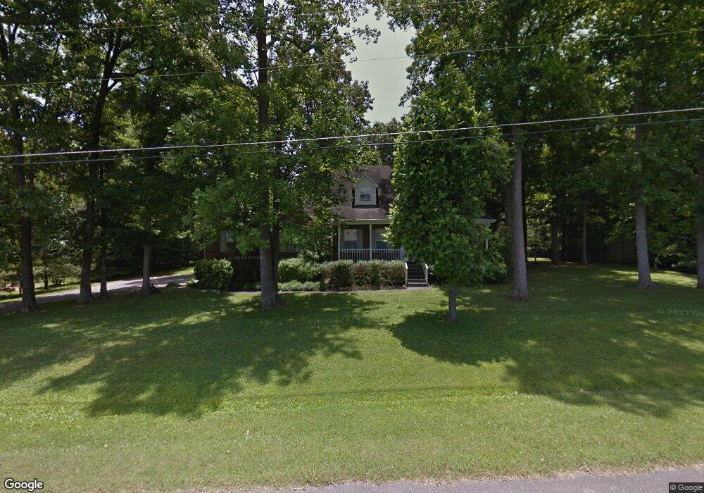
209 Independence St Springfield, TN 37172
Estimated Value: $397,369 - $564,000
About This Home
This home is located at 209 Independence St, Springfield, TN 37172 and is currently estimated at $497,842, approximately $247 per square foot. 209 Independence St is a home located in Robertson County with nearby schools including Robert F. Woodall Elementary School, White House Heritage Elementary School, and White House Heritage High School.
Ownership History
We collect this data history from publicly available records. To have your information removed, we recommend requesting removal directly through your county’s website.
Purchase Details
Purchase Details
Purchase Details
Home Values in the Area
Average Home Value in this Area
Purchase History
We collect this data history from publicly available records. To have your information removed, we recommend requesting removal directly through your county’s website.
| Date | Buyer | Sale Price | Title Company |
|---|---|---|---|
| $105,000 | -- | ||
| $13,500 | -- | ||
| -- | -- |
Tax History
We collect this data history from publicly available records. To have your information removed, we recommend requesting removal directly through your county’s website.
| Year | Tax Paid | Tax Assessment Tax Assessment Total Assessment is a certain percentage of the fair market value that is determined by local assessors to be the total taxable value of land and additions on the property. | Land | Improvement |
|---|---|---|---|---|
| 2025 | $1,910 | $106,125 | $21,250 | $84,875 |
| 2024 | $1,910 | $106,125 | $21,250 | $84,875 |
| 2023 | $1,910 | $106,125 | $21,250 | $84,875 |
| 2022 | $1,927 | $74,825 | $10,775 | $64,050 |
| 2021 | $1,927 | $74,825 | $10,775 | $64,050 |
| 2020 | $1,927 | $74,825 | $10,775 | $64,050 |
| 2019 | $1,927 | $74,825 | $10,775 | $64,050 |
| 2018 | $1,927 | $74,825 | $10,775 | $64,050 |
| 2017 | $1,811 | $58,700 | $9,200 | $49,500 |
| 2016 | $1,811 | $58,700 | $9,200 | $49,500 |
| 2015 | $1,738 | $58,700 | $9,200 | $49,500 |
| 2014 | $1,738 | $58,700 | $9,200 | $49,500 |
Map
- 3457 Maxie Jones Rd
- 8023 Bethlehem Rd
- 7957 Bethlehem Rd
- 7146 Lang Ave
- 7076 Lang Ave
- 6114 Japonica Ln
- 2480 Quinn Dr
- 7383 Lang Ave
- 6492 Cross Plains Rd
- 2405 Quinn Dr
- 6887 Japonica Ln
- 2354 Quinn Dr
- 2207 Quinn Dr
- 6676 Japonica Ln
- 6675 Japonica Ln
- 6667 Japonica Ln
- 6666 Japonica Ln
- 6660 Japonica Ln
- 6650 Japonica Ln
- 6642 Japonica Ln
- 207 Independence St
- 211 Independence St
- 208 Independence St
- 200 Independence St
- 0 Independence St
- 210 Independence St
- 213 Independence St
- 205 Independence St
- 206 Independence St
- 212 Independence St
- 4169 Bethlehem Rd
- 0 Independence St Unit RTC2462478
- 0 Independence St Unit RTC2375196
- 8435 Bethlehem Rd
- 4161 Bethlehem Rd
- 4161 Bethlehem Rd
- 204 Independence St
- 4175 Bethlehem Rd
- 214 Independence St
- 4155 Bethlehem Rd
Ask me questions while you tour the home.