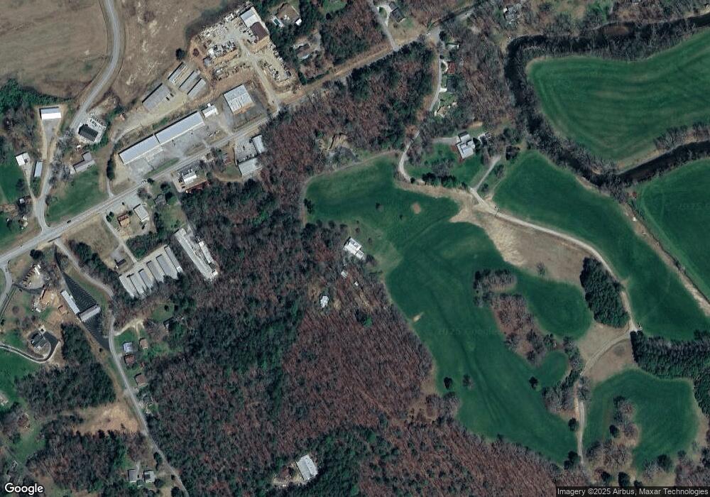
209 James C Lance Dr Blairsville, GA 30512
Estimated Value: $609,000 - $711,000
4
Beds
3
Baths
3,509
Sq Ft
$186/Sq Ft
Est. Value
About This Home
This home is located at 209 James C Lance Dr, Blairsville, GA 30512 and is currently estimated at $651,359, approximately $185 per square foot. 209 James C Lance Dr is a home located in Union County with nearby schools including Union County Primary School, Union County Elementary School, and Union County Middle School.
Ownership History
Date
Name
Owned For
Owner Type
Purchase Details
Closed on
Jan 25, 2024
Sold by
Shupe Carole L
Bought by
Mulkey Emily and Mulkey Joshua J
Current Estimated Value
Purchase Details
Closed on
Dec 6, 2016
Sold by
Carole L
Bought by
Tucker Thomas L and Tucker Leslie Shupe
Purchase Details
Closed on
Jun 13, 1996
Sold by
Carole L
Bought by
Shupe Augustus J
Purchase Details
Closed on
Aug 16, 1972
Bought by
Lance James C
Create a Home Valuation Report for This Property
The Home Valuation Report is an in-depth analysis detailing your home's value as well as a comparison with similar homes in the area
Home Values in the Area
Average Home Value in this Area
Purchase History
| Date | Buyer | Sale Price | Title Company |
|---|---|---|---|
| Mulkey Emily | $1,000 | -- | |
| Tucker Thomas L | -- | -- | |
| Shupe Augustus J | -- | -- | |
| Lance James C | -- | -- |
Source: Public Records
Tax History Compared to Growth
Tax History
| Year | Tax Paid | Tax Assessment Tax Assessment Total Assessment is a certain percentage of the fair market value that is determined by local assessors to be the total taxable value of land and additions on the property. | Land | Improvement |
|---|---|---|---|---|
| 2024 | $3,277 | $279,536 | $35,280 | $244,256 |
| 2023 | $3,647 | $275,976 | $35,280 | $240,696 |
| 2022 | $3,222 | $244,040 | $32,680 | $211,360 |
| 2021 | $3,116 | $199,760 | $32,680 | $167,080 |
| 2020 | $2,639 | $141,488 | $26,783 | $114,705 |
| 2019 | $2,495 | $141,488 | $26,783 | $114,705 |
| 2018 | $2,485 | $141,488 | $26,783 | $114,705 |
| 2017 | $2,450 | $141,488 | $26,783 | $114,705 |
| 2016 | $3,188 | $183,371 | $31,290 | $152,081 |
| 2015 | $3,208 | $183,371 | $31,290 | $152,081 |
| 2013 | -- | $183,371 | $31,290 | $152,080 |
Source: Public Records
Map
Nearby Homes
- 1609 Blue Ridge Hwy
- 19 Hickory Terrace
- 436 River Rd S
- LOT 14 Mile High Ln
- LT 44 Hidden Harbour
- LT 15 Red Tail Ln
- 1593 AND 1609 Blue Ridge Hwy
- TR7 Arbor Farm Rd Unit TRACT 7
- LOT 56 Bryant Cove S D
- 254 Golden Nugget Rd
- 1 Rachel Rd
- 57 Mountain Vista Rd
- 237 Golden Nugget Rd Unit LOT 21
- 247 Golden Nugget Rd Unit LOT 22
- 375 Golden Nugget Rd Unit LOT 224
- 184 Golden Nugget Rd Unit LOT 41
- 99 Mountain Vista Rd Unit LOT 244
- 384 Mountain Creek Rd Unit LOT 169
- 477 Mountain Creek Rd
- 340 Mountain Creek Rd
- 0 James C Lance Dr Unit 3010506
- 0 James C Lance Dr
- 208 James C Lance Dr
- 50 James C Lance Dr
- 1525 Blue Ridge Hwy
- 119 River Bend Farm Rd
- 63 River Bend Farm Rd
- 195 River Bend Farm Rd
- 1577 Blue Ridge Hwy
- 51 River Bend Farm Rd
- 55 Floyd and Lena Dr
- 25 River Bend Farm Rd
- 9 River Bend Farm Rd
- 0 Hickory Ridge Unit 7246629
- 0 Hickory Ridge
- 28 Hickory Heights Rd
- 1286 Hickory Heights Rd
- 50 Hickory Ridge
- 161 Fairview Church Rd
- 161 Fairview Church Rd
