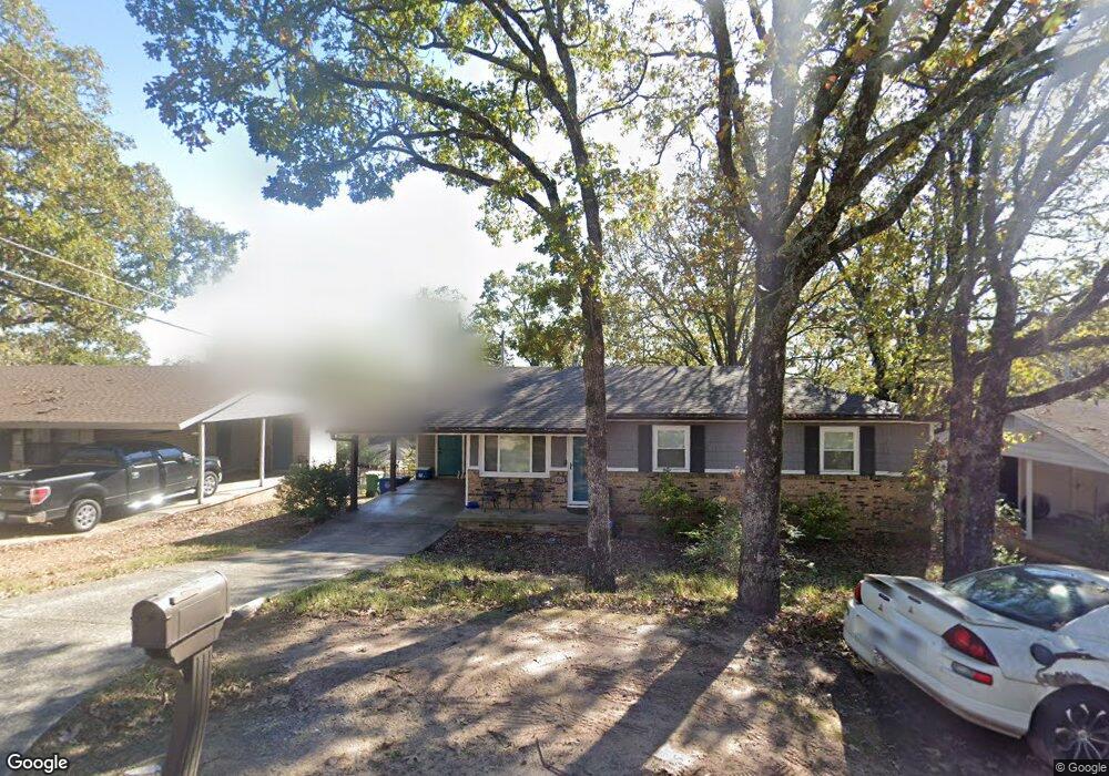
209 Lindenhurst Dr North Little Rock, AR 72118
Amboy NeighborhoodEstimated Value: $77,550 - $103,000
--
Bed
1
Bath
912
Sq Ft
$102/Sq Ft
Est. Value
About This Home
This home is located at 209 Lindenhurst Dr, North Little Rock, AR 72118 and is currently estimated at $93,388, approximately $102 per square foot. 209 Lindenhurst Dr is a home located in Pulaski County with nearby schools including Indian Hills Elementary School, North Little Rock Middle School 6th Grade Campus, and North Little Rock High School.
Ownership History
Date
Name
Owned For
Owner Type
Purchase Details
Closed on
Apr 14, 2000
Sold by
Hud
Bought by
Fondren Tracy
Current Estimated Value
Home Financials for this Owner
Home Financials are based on the most recent Mortgage that was taken out on this home.
Original Mortgage
$39,600
Outstanding Balance
$13,577
Interest Rate
8.24%
Mortgage Type
Credit Line Revolving
Estimated Equity
$79,811
Purchase Details
Closed on
Dec 1, 1999
Sold by
Chase Manhattan Mtg Corp
Bought by
Hud
Create a Home Valuation Report for This Property
The Home Valuation Report is an in-depth analysis detailing your home's value as well as a comparison with similar homes in the area
Home Values in the Area
Average Home Value in this Area
Purchase History
| Date | Buyer | Sale Price | Title Company |
|---|---|---|---|
| Fondren Tracy | -- | United Abstract & Title Co | |
| Hud | -- | -- |
Source: Public Records
Mortgage History
| Date | Status | Borrower | Loan Amount |
|---|---|---|---|
| Open | Fondren Tracy | $39,600 |
Source: Public Records
Tax History Compared to Growth
Tax History
| Year | Tax Paid | Tax Assessment Tax Assessment Total Assessment is a certain percentage of the fair market value that is determined by local assessors to be the total taxable value of land and additions on the property. | Land | Improvement |
|---|---|---|---|---|
| 2025 | $758 | $14,818 | $1,300 | $13,518 |
| 2024 | $695 | $14,818 | $1,300 | $13,518 |
| 2023 | $695 | $14,818 | $1,300 | $13,518 |
| 2022 | $664 | $14,818 | $1,300 | $13,518 |
| 2021 | $633 | $9,470 | $1,600 | $7,870 |
| 2020 | $258 | $9,470 | $1,600 | $7,870 |
| 2019 | $258 | $9,470 | $1,600 | $7,870 |
| 2018 | $283 | $9,470 | $1,600 | $7,870 |
| 2017 | $283 | $9,470 | $1,600 | $7,870 |
| 2016 | $417 | $11,480 | $2,200 | $9,280 |
| 2015 | $767 | $11,480 | $2,200 | $9,280 |
| 2014 | $767 | $11,480 | $2,200 | $9,280 |
Source: Public Records
Map
Nearby Homes
- 104 Lindenhurst Dr
- 34 Jaynelle Place
- 5732 Camp Robinson Rd
- 60 Oakview Dr
- 5504 Allen St
- 9 Blackstone Cir
- 901 W 58th St
- 0 Timberline Dr
- 900 Donovan Briley Blvd
- 5315 Chandler St
- 0 W Hill Ct
- 801 Green Hills Dr
- 5630 Foxboro Dr
- 407 W 51st St
- 5321 Marion St
- 1108 Nicole Dr
- 412 W 51st St
- 308 W 50th St
- 813 Silver Hill Rd
- 601 W 50th St
- 213 Lindenhurst Dr
- 205 Lindenhurst Dr
- 209 Bluebell Dr
- 301 Lindenhurst Dr
- 204 Lindenhurst Dr
- 201 Lindenhurst Dr
- 207 Bluebell Dr
- 205 Bluebell Dr
- 1 Somerset Dr
- 305 Lindenhurst Dr
- 125 Lindenhurst Dr
- 203 Bluebell Dr
- 97 Somerset Dr
- 102 Somerset Dr
- 5 Somerset Dr
- 201 Bluebell Dr
- 121 Lindenhurst Dr
- 0 Bluebell
- 98 Somerset Dr
- 2 Somerset Dr