209 Macon Ln Huntsville, AL 35811
Moores Mill NeighborhoodEstimated Value: $358,000 - $594,000
--
Bed
--
Bath
3,103
Sq Ft
$159/Sq Ft
Est. Value
About This Home
This home is located at 209 Macon Ln, Huntsville, AL 35811 and is currently estimated at $494,907, approximately $159 per square foot. 209 Macon Ln is a home with nearby schools including Riverton Elementary School, Riverton Intermediate School, and Buckhorn Middle School.
Ownership History
Date
Name
Owned For
Owner Type
Purchase Details
Closed on
Jun 24, 2022
Sold by
Tate Steven G
Bought by
Cothren Ashlie Sherese and Cothren Joshua Heath
Current Estimated Value
Purchase Details
Closed on
Jan 11, 2018
Sold by
Margene Hudson
Bought by
Tate Steven and Tate Jacqueline
Home Financials for this Owner
Home Financials are based on the most recent Mortgage that was taken out on this home.
Original Mortgage
$361,000
Interest Rate
3.99%
Create a Home Valuation Report for This Property
The Home Valuation Report is an in-depth analysis detailing your home's value as well as a comparison with similar homes in the area
Home Values in the Area
Average Home Value in this Area
Purchase History
| Date | Buyer | Sale Price | Title Company |
|---|---|---|---|
| Cothren Ashlie Sherese | $30,000 | Harrison & Gammons Pc | |
| Cothren Ashlie Sherese | $30,000 | None Listed On Document | |
| Cothren Ashlie Sherese | $30,000 | None Listed On Document | |
| Tate Steven | $425,000 | -- |
Source: Public Records
Mortgage History
| Date | Status | Borrower | Loan Amount |
|---|---|---|---|
| Previous Owner | Tate Steven | $361,000 | |
| Previous Owner | Tate Steven | -- |
Source: Public Records
Tax History Compared to Growth
Tax History
| Year | Tax Paid | Tax Assessment Tax Assessment Total Assessment is a certain percentage of the fair market value that is determined by local assessors to be the total taxable value of land and additions on the property. | Land | Improvement |
|---|---|---|---|---|
| 2024 | $1,647 | $45,960 | $7,200 | $38,760 |
| 2023 | $1,608 | $44,160 | $7,200 | $36,960 |
| 2022 | $1,326 | $38,020 | $4,460 | $33,560 |
| 2021 | $1,229 | $35,340 | $4,460 | $30,880 |
| 2020 | $1,148 | $33,130 | $4,380 | $28,750 |
| 2019 | $1,110 | $32,070 | $4,380 | $27,690 |
| 2018 | $1,014 | $29,420 | $0 | $0 |
| 2017 | $1,014 | $29,420 | $0 | $0 |
| 2016 | $1,014 | $29,420 | $0 | $0 |
| 2015 | $1,014 | $29,420 | $0 | $0 |
| 2014 | $1,007 | $29,220 | $0 | $0 |
Source: Public Records
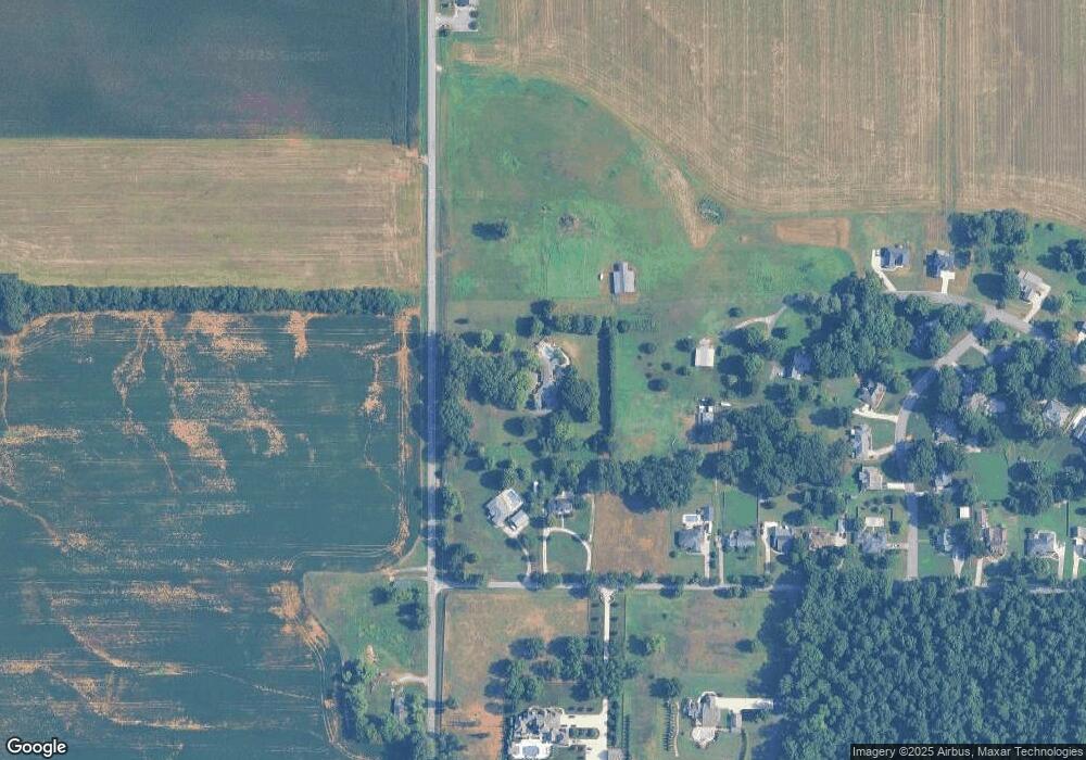
Map
Nearby Homes
- 109 Morning Dove Dr
- 271 Rube Robinson Rd
- 188 Rube Robinson Rd
- 108 Kema Dr
- Aldridge Plan at Kensington
- Kerry Plan at Kensington
- Freeport Plan at Kensington
- Lakeside Plan at Kensington
- 104 Saw Palmetto Dr
- 106 Saw Palmetto Dr
- 7521A Moores Mill Rd
- 7521 Moores Mill Rd
- 242 Bermuda Lakes Dr
- 239 Bermuda Lakes Dr
- 104 A Smith Rd
- 179 Cotton Bayou Dr
- 205 Applewood Ct
- 207 Applewood Ct
- 229 Jerrie Lynn Blvd
- 101 Old Shell Rd
- 114 Morning Mist Dr
- 129 Rube Robinson Rd
- 123 Rube Robinson Rd
- 165 Rube Robinson Rd
- 117 Morning Mist Dr
- 106 Morning Dove Dr
- 177 Rube Robinson Rd
- 104 Morning Dove Dr
- 108 Morning Dove Dr
- 183 Rube Robinson Rd
- 102 Morning Dove Dr
- 195 Rube Robinson Rd
- 105 Morning Dove Dr
- 100 Morning Dove Dr
- 103 Morning Dove Dr
- 156 Macon Ln
- 121 Morning Mist Dr
- 107 Morning Dove Dr
- 123 Morning Mist Dr
- 101 Morning Dove Dr