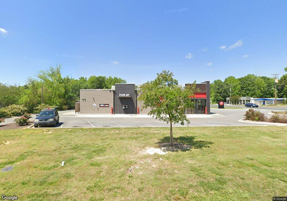
209 Main St W Locust, NC 28097
2
Beds
1
Bath
1,975
Sq Ft
0.38
Acres
About This Home
This home is located at 209 Main St W, Locust, NC 28097. 209 Main St W is a home located in Stanly County with nearby schools including Locust Elementary School, West Stanly Middle School, and West Stanly High School.
Ownership History
Date
Name
Owned For
Owner Type
Purchase Details
Closed on
Oct 11, 2017
Sold by
Carolina Pizza Huts Inc
Bought by
Carolina Pizza Huts Inc
Purchase Details
Closed on
Aug 23, 2017
Sold by
Almond Larry S and Almond Lynda W
Bought by
Carolina Pizza Huts Inc
Purchase Details
Closed on
Apr 12, 2006
Sold by
Almond Mary Virginai and Almond Virginia C
Bought by
Almond Larry S and Almond Lynda W
Home Financials for this Owner
Home Financials are based on the most recent Mortgage that was taken out on this home.
Original Mortgage
$90,000
Interest Rate
6.31%
Mortgage Type
Commercial
Create a Home Valuation Report for This Property
The Home Valuation Report is an in-depth analysis detailing your home's value as well as a comparison with similar homes in the area
Home Values in the Area
Average Home Value in this Area
Purchase History
| Date | Buyer | Sale Price | Title Company |
|---|---|---|---|
| Carolina Pizza Huts Inc | -- | Attorney | |
| Carolina Pizza Huts Inc | $215,000 | Attorney | |
| Almond Larry S | -- | None Available |
Source: Public Records
Mortgage History
| Date | Status | Borrower | Loan Amount |
|---|---|---|---|
| Previous Owner | Almond Larry S | $90,000 |
Source: Public Records
Tax History Compared to Growth
Tax History
| Year | Tax Paid | Tax Assessment Tax Assessment Total Assessment is a certain percentage of the fair market value that is determined by local assessors to be the total taxable value of land and additions on the property. | Land | Improvement |
|---|---|---|---|---|
| 2025 | $7,171 | $779,488 | $302,575 | $476,913 |
| 2024 | $6,420 | $588,998 | $224,770 | $364,228 |
| 2023 | $6,540 | $588,998 | $224,770 | $364,228 |
| 2022 | $6,481 | $588,998 | $224,770 | $364,228 |
| 2021 | $6,422 | $588,998 | $224,770 | $364,228 |
| 2020 | $5,618 | $502,177 | $190,190 | $311,987 |
| 2019 | $5,675 | $502,177 | $190,190 | $311,987 |
| 2018 | $2,149 | $190,190 | $190,190 | $0 |
| 2017 | $2,584 | $228,631 | $139,920 | $88,711 |
| 2016 | $2,143 | $189,671 | $127,200 | $62,471 |
| 2015 | $2,256 | $189,671 | $127,200 | $62,471 |
| 2014 | $1,603 | $189,671 | $127,200 | $62,471 |
Source: Public Records
Map
Nearby Homes
- 146 Kerri Dawn Ln
- 417 Kiser Ln
- 219 Kerri Dawn Ln
- 402 Church St
- 169 Abigail Ln
- 319 N Central Ave
- 166 Battery Dr
- 117 Danita Dr
- 606 Elm St
- 24990 Birdhouse Ln Unit 4
- 700 Elm St
- 708 Redah Ave
- 206 Delancy St
- 230 Battery Dr
- 106 Marlwood Dr
- 206 Montclair Dr
- 716 Saddlebred Ln
- 347 Carolina Hemlock Dr
- 421 Carolina Hemlock Dr
- 142 Flame Azalea Ct
- 102 Locust Ave
- 215 E Main St
- 104 Locust Ave
- 123 W Main St
- 103 Locust Ave
- 210 Main St W
- 118 Main St W
- 107 Locust Ave
- 214 E Main St
- 204 Locust Ave
- 301 Main St W
- 204 Locust Ave
- 204 Locust Ave Unit 1
- 109 Locust Ave
- 108 W Main St
- 2028 Locust
- 104 S Central Ave
- 312 Main St W
- 2.07AC W Main St
- 0.85AC W Main St