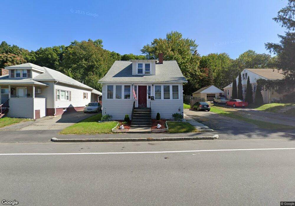
209 Massasoit Rd Worcester, MA 01604
Broadmeadow Brook NeighborhoodEstimated Value: $362,976 - $433,000
3
Beds
1
Bath
1,248
Sq Ft
$308/Sq Ft
Est. Value
About This Home
This home is located at 209 Massasoit Rd, Worcester, MA 01604 and is currently estimated at $384,994, approximately $308 per square foot. 209 Massasoit Rd is a home located in Worcester County with nearby schools including Jacob Hiatt Magnet School, Chandler Magnet, and Rice Square Elementary School.
Ownership History
Date
Name
Owned For
Owner Type
Purchase Details
Closed on
Jul 5, 2020
Sold by
209 Massasoit Road Rt
Bought by
Mustica Fabrizzio
Current Estimated Value
Purchase Details
Closed on
Feb 15, 2018
Sold by
Hamilton Anthony and Hamilton Hugh A
Bought by
209 Massasoit Road Rt
Purchase Details
Closed on
Jun 15, 2011
Sold by
Corron Steven J and Corron Alan A
Bought by
Hamilton Anthony
Home Financials for this Owner
Home Financials are based on the most recent Mortgage that was taken out on this home.
Original Mortgage
$125,644
Interest Rate
4.74%
Mortgage Type
Purchase Money Mortgage
Create a Home Valuation Report for This Property
The Home Valuation Report is an in-depth analysis detailing your home's value as well as a comparison with similar homes in the area
Home Values in the Area
Average Home Value in this Area
Purchase History
| Date | Buyer | Sale Price | Title Company |
|---|---|---|---|
| Mustica Fabrizzio | -- | None Available | |
| 209 Massasoit Road Rt | $133,000 | -- | |
| Hamilton Anthony | $123,000 | -- |
Source: Public Records
Mortgage History
| Date | Status | Borrower | Loan Amount |
|---|---|---|---|
| Previous Owner | Hamilton Anthony | $125,644 |
Source: Public Records
Tax History
| Year | Tax Paid | Tax Assessment Tax Assessment Total Assessment is a certain percentage of the fair market value that is determined by local assessors to be the total taxable value of land and additions on the property. | Land | Improvement |
|---|---|---|---|---|
| 2025 | $3,538 | $268,200 | $118,800 | $149,400 |
| 2024 | $3,501 | $254,600 | $118,800 | $135,800 |
| 2023 | $3,325 | $231,900 | $103,300 | $128,600 |
| 2022 | $2,995 | $196,900 | $82,600 | $114,300 |
| 2021 | $3,010 | $184,900 | $66,100 | $118,800 |
| 2020 | $2,968 | $174,600 | $66,100 | $108,500 |
| 2019 | $2,912 | $161,800 | $59,500 | $102,300 |
| 2018 | $2,723 | $144,000 | $59,500 | $84,500 |
| 2017 | $2,652 | $138,000 | $59,500 | $78,500 |
| 2016 | $2,595 | $125,900 | $43,800 | $82,100 |
| 2015 | $2,527 | $125,900 | $43,800 | $82,100 |
| 2014 | $2,460 | $125,900 | $43,800 | $82,100 |
Source: Public Records
Map
Nearby Homes
- 25 Stoneham Rd
- 256 Massasoit Rd
- 259 Massasoit Rd
- 16 Vincent Cir
- 266 Massasoit Rd
- 62 Allston Ave
- 83 Massasoit Rd
- 3 Julien Ave
- 330 Sunderland Rd Unit 80
- 330 Sunderland Rd Unit 69
- 340 Sunderland Rd Unit 28
- 143 Commonwealth Ave
- 143 Dorcester
- 9 Marissa Cir
- 103 Heywood St
- 41 Bridgeport St
- 21 Bolton St
- 20 Bolton St
- 429 Grafton St Unit 2
- 80 Delmont Ave
- 207 Massasoit Rd
- 215 Massasoit Rd
- 203 Massasoit Rd
- 206 Massasoit Rd
- 219 Massasoit Rd
- 199 Massasoit Rd
- 221 Massasoit Rd
- 221 Massasoit Rd Unit 1
- 221 Massasoit Rd
- 221 Massasoit Rd Unit 2
- 220 Massasoit Rd
- 220 Massasoit Rd Unit 220
- 200 Massasoit Rd
- 4 Fenwood Rd
- 223 Massasoit Rd
- 226 Massasoit Rd
- 51 Denver Terrace
- 46 Valley View Ln
- 192 Massasoit Rd
- 26B Valley View Ln
Your Personal Tour Guide
Ask me questions while you tour the home.