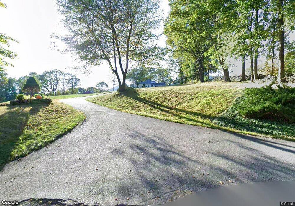
209 Mirick Rd Princeton, MA 01541
Estimated Value: $733,226 - $875,000
About This Home
This home is located at 209 Mirick Rd, Princeton, MA 01541 and is currently estimated at $793,807, approximately $291 per square foot. 209 Mirick Rd is a home located in Worcester County with nearby schools including Wachusett Regional High School.
Ownership History
We collect this data history from publicly available records. To have your information removed, we recommend requesting removal directly through your county’s website.
Purchase Details
Purchase Details
Home Values in the Area
Average Home Value in this Area
Purchase History
We collect this data history from publicly available records. To have your information removed, we recommend requesting removal directly through your county’s website.
| Date | Buyer | Sale Price | Title Company |
|---|---|---|---|
| -- | None Available | ||
| $25,000 | -- |
Mortgage History
We collect this data history from publicly available records. To have your information removed, we recommend requesting removal directly through your county’s website.
| Date | Status | Borrower | Loan Amount |
|---|---|---|---|
| Previous Owner | $97,500 | ||
| Previous Owner | $75,000 | ||
| Previous Owner | $75,000 |
Tax History
We collect this data history from publicly available records. To have your information removed, we recommend requesting removal directly through your county’s website.
| Year | Tax Paid | Tax Assessment Tax Assessment Total Assessment is a certain percentage of the fair market value that is determined by local assessors to be the total taxable value of land and additions on the property. | Land | Improvement |
|---|---|---|---|---|
| 2025 | $9,963 | $685,661 | $205,561 | $480,100 |
| 2024 | $9,334 | $665,300 | $205,600 | $459,700 |
| 2023 | $8,951 | $591,217 | $181,817 | $409,400 |
| 2022 | $8,623 | $549,917 | $181,817 | $368,100 |
| 2021 | $8,550 | $530,400 | $186,400 | $344,000 |
| 2020 | $8,296 | $523,400 | $186,400 | $337,000 |
| 2019 | $8,263 | $515,800 | $182,300 | $333,500 |
| 2018 | $9,100 | $526,600 | $166,100 | $360,500 |
| 2017 | $7,692 | $432,600 | $204,800 | $227,800 |
| 2016 | $7,700 | $432,600 | $204,800 | $227,800 |
| 2015 | $7,188 | $415,500 | $208,400 | $207,100 |
Map
- 36 Country Ln
- 152 Mountain Rd
- 6 Mason Ln
- 77 Main St
- 58 Merriam Rd
- 25 Houghton Rd
- 17 Boylston Ave
- 223 Justice Hill Rd
- 8 Ridgewood Rd
- 226 Worcester Rd Unit A
- 186 Justice Hill Rd Unit Oakmont
- 186 Justice Hill Rd Unit Mod Farm
- 16 Elliott Rd
- 3 Woods Rd
- 34 Edro Isle Rd Unit 36
- 1180 Elm St Unit Applewood
- 1180 Elm St Unit Willow
- 56 Hubbardston Rd
- 103 Brooks Station Rd
- 20 S Shore Rd
Ask me questions while you tour the home.