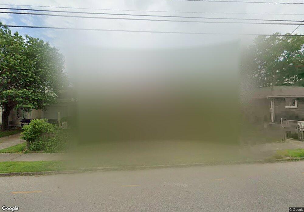
209 Morgan St Barberton, OH 44203
North Barberton NeighborhoodEstimated Value: $142,812 - $172,000
2
Beds
2
Baths
1,176
Sq Ft
$133/Sq Ft
Est. Value
About This Home
This home is located at 209 Morgan St, Barberton, OH 44203 and is currently estimated at $156,953, approximately $133 per square foot. 209 Morgan St is a home located in Summit County with nearby schools including Barberton Middle School, Barberton Intermediate School 3-5, and Barberton High School.
Ownership History
Date
Name
Owned For
Owner Type
Purchase Details
Closed on
Aug 13, 2025
Sold by
Kadilak Rocky M and Kadilak Shelly
Bought by
Kadilak Properties Llc
Current Estimated Value
Purchase Details
Closed on
Feb 25, 2016
Sold by
Kadulak Rocky M
Bought by
Kadulak Rocky and Kadulak Shelly
Purchase Details
Closed on
Jun 25, 2002
Sold by
Larson Rosanne S and Larson Oden
Bought by
Kadilak Rocky M
Home Financials for this Owner
Home Financials are based on the most recent Mortgage that was taken out on this home.
Original Mortgage
$75,000
Interest Rate
6.93%
Create a Home Valuation Report for This Property
The Home Valuation Report is an in-depth analysis detailing your home's value as well as a comparison with similar homes in the area
Home Values in the Area
Average Home Value in this Area
Purchase History
| Date | Buyer | Sale Price | Title Company |
|---|---|---|---|
| Kadilak Properties Llc | -- | None Listed On Document | |
| Kadulak Rocky | -- | None Available | |
| Kadilak Rocky M | $50,000 | Progressive Land Title Cf |
Source: Public Records
Mortgage History
| Date | Status | Borrower | Loan Amount |
|---|---|---|---|
| Previous Owner | Kadilak Rocky M | $75,000 |
Source: Public Records
Tax History Compared to Growth
Tax History
| Year | Tax Paid | Tax Assessment Tax Assessment Total Assessment is a certain percentage of the fair market value that is determined by local assessors to be the total taxable value of land and additions on the property. | Land | Improvement |
|---|---|---|---|---|
| 2025 | $2,253 | $43,884 | $10,616 | $33,268 |
| 2024 | $2,253 | $43,884 | $10,616 | $33,268 |
| 2023 | $2,253 | $43,884 | $10,616 | $33,268 |
| 2022 | $1,727 | $29,166 | $6,937 | $22,229 |
| 2021 | $1,725 | $29,166 | $6,937 | $22,229 |
| 2020 | $1,689 | $29,170 | $6,940 | $22,230 |
| 2019 | $1,692 | $26,480 | $6,110 | $20,370 |
| 2018 | $1,667 | $26,480 | $6,110 | $20,370 |
| 2017 | $1,689 | $26,480 | $6,110 | $20,370 |
| 2016 | $1,693 | $26,480 | $6,110 | $20,370 |
| 2015 | $1,689 | $26,480 | $6,110 | $20,370 |
| 2014 | $1,681 | $26,480 | $6,110 | $20,370 |
| 2013 | $1,629 | $26,620 | $6,110 | $20,510 |
Source: Public Records
Map
Nearby Homes
- 645 Madison Ave
- 690 Saint Clair Ave
- 0 Wooster Rd N
- 613 Wooster Rd N
- 44 W Summit St
- 103 Mitchell St
- 30 W Hiram St
- 818 N Summit St
- 146 Hermann St
- 412 Grandview Ave
- 213 Hermann St
- 137 Hermann St
- 250 Evergreen St
- 277 Glenn St
- 320 Lincoln Ave Unit 322
- 46 Brown St
- 1924 Caroline Ave
- 1960 Newton St
- 143 Glenn St
- 0 Romig Ave