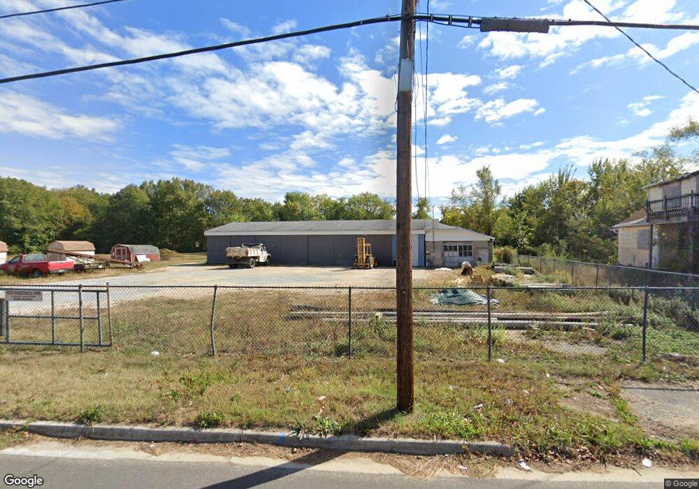
209 N Broad St Carneys Point, NJ 08069
Estimated Value: $90,270
--
Bed
--
Bath
4,180
Sq Ft
$22/Sq Ft
Est. Value
About This Home
This home is located at 209 N Broad St, Carneys Point, NJ 08069 and is currently estimated at $90,270, approximately $21 per square foot. 209 N Broad St is a home located in Salem County with nearby schools including Lafayette-Pershing Elementary School, Field Street Elementary School, and Paul W. Carleton Elementary School.
Ownership History
Date
Name
Owned For
Owner Type
Purchase Details
Closed on
Jul 31, 2025
Sold by
A & R Rental Properties Llc
Bought by
Purefocus Elite Llc
Current Estimated Value
Purchase Details
Closed on
Dec 31, 2020
Sold by
Pete Verdecchio & Sons Llc
Bought by
A & R Rental Properties Llc
Purchase Details
Closed on
Mar 16, 2004
Sold by
Verdecchio Elizabeth M and Verdecchio Lois Ann
Bought by
Pete Verdecchio & Sons Llc
Create a Home Valuation Report for This Property
The Home Valuation Report is an in-depth analysis detailing your home's value as well as a comparison with similar homes in the area
Home Values in the Area
Average Home Value in this Area
Purchase History
| Date | Buyer | Sale Price | Title Company |
|---|---|---|---|
| Purefocus Elite Llc | $90,000 | West Jersey Title | |
| Purefocus Elite Llc | $90,000 | West Jersey Title | |
| A & R Rental Properties Llc | -- | None Available | |
| Pete Verdecchio & Sons Llc | $35,000 | -- |
Source: Public Records
Tax History Compared to Growth
Tax History
| Year | Tax Paid | Tax Assessment Tax Assessment Total Assessment is a certain percentage of the fair market value that is determined by local assessors to be the total taxable value of land and additions on the property. | Land | Improvement |
|---|---|---|---|---|
| 2025 | $2,913 | $121,000 | $90,000 | $31,000 |
| 2024 | $2,812 | $79,000 | $52,800 | $26,200 |
| 2023 | $2,812 | $79,000 | $52,800 | $26,200 |
| 2022 | $2,647 | $79,000 | $52,800 | $26,200 |
| 2021 | $2,618 | $79,000 | $52,800 | $26,200 |
| 2020 | $2,644 | $79,000 | $52,800 | $26,200 |
| 2019 | $2,666 | $79,000 | $52,800 | $26,200 |
| 2018 | $1,637 | $52,000 | $35,000 | $17,000 |
| 2017 | $1,527 | $52,000 | $35,000 | $17,000 |
| 2016 | $1,669 | $59,000 | $42,000 | $17,000 |
| 2015 | $1,591 | $59,000 | $42,000 | $17,000 |
| 2014 | $1,506 | $59,000 | $42,000 | $17,000 |
Source: Public Records
Map
Nearby Homes
- 28 4th Ave
- 59 61 Broad St
- 51 Washington Ave
- 81 7th Ave
- 113 N Broad St
- 27 E Line St
- 279 Pine St
- 71 Poplar St
- 18 Pearl St
- 111 Grove St
- 303 Pine St
- 54 W Pitman St
- 311 Pine St
- 87 W Pitman St
- 136 Penns Grove Auburn Rd
- 6 W Griffith St
- 99 N Virginia Ave
- 35 Franklin St
- 102 Delaware Ave Unit FRONT
- 78 W Harmony St